Tsushima Island
Local name: 対馬
Located in Nagasaki, Japan Coordinates: 34°20′00″ N 129°20′00″ E
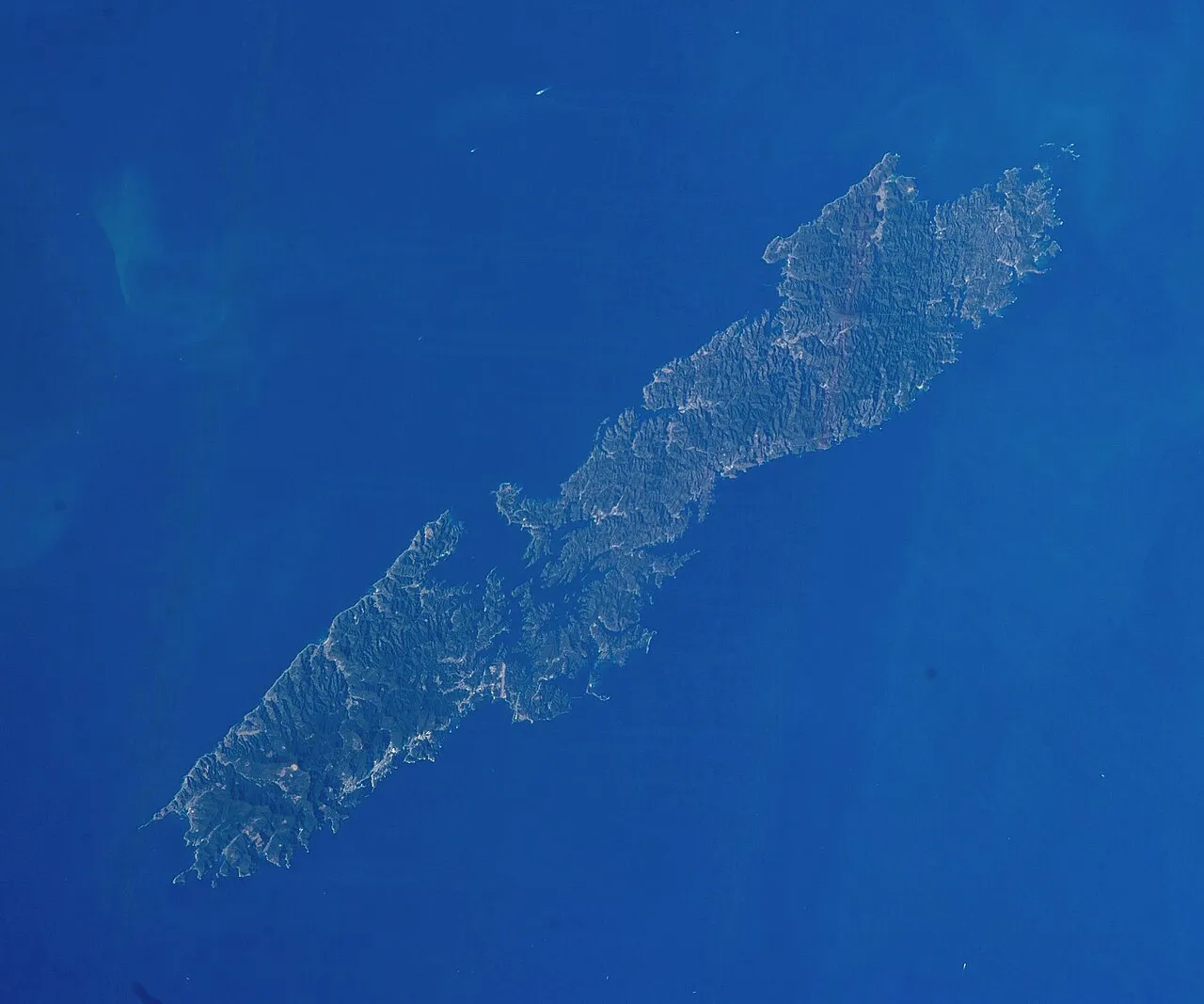
- Elevation
- 649 m
- above sea level
- Local time
- UTC+09:00
- Asia/Tokyo · UTC+09:00
- Population
- 39,716
- 39.7K
- Airports
- TSJ Tsushima Airport5 km
- IKI Iki Airport77 km
About Tsushima Island
Tsushima Island is an island. Location: Nagasaki, Japan. Population: 39,716.
Tsushima (Japanese: 対馬, Hepburn: Tsushima) is an island of the Japanese archipelago situated in-between the Tsushima Strait and Korea Strait, approximately halfway between Kyushu and the Korean Peninsula. The main island of Tsushima, once a single island, was divided into two in 1671 by the Ōfunakoshiseto canal and into three in 1900 by the Manzekiseto canal. These canals were driven through isthmuses in the center of the island, forming "North Tsushima" (Kamino-shima) and "South Tsushima" (Shimono-shima).
Source: Wikipedia · CC BY-SA 4.0
At a glance
- Length
- 70 km
- Area
- 696 km²
Source: Wikidata
Climate of Tsushima Island
Best months for sightseeingBest months for sightseeing: June–October.
This month · November
Outside the best season
Day 13° · Night 5° · Rain 89 mm
Better nearby cities in November
- Beppu · 232 km southeast17°
- Ōita · 243 km southeast18°
- Nobeoka · 291 km southeast18°
- Hottest month
- August (day 25°)
- Coldest month
- January (night -3°)
- Wettest month
- July (314 mm)
- Driest month
- December (54 mm)
Bars: average monthly low and high temperature. Below: precipitation. Monthly averages for 1970–2000 at about 18 km resolution, adjusted for elevation. Highlighted months are mild and relatively dry. Source: WorldClim 2.1 (CC BY 4.0).
Show values as a table
| Month | Jan | Feb | Mar | Apr | May | Jun | Jul | Aug | Sep | Oct | Nov | Dec |
|---|---|---|---|---|---|---|---|---|---|---|---|---|
| Average high (°C) | 5° | 6° | 9° | 13° | 17° | 20° | 24° | 25° | 22° | 18° | 13° | 8° |
| Average low (°C) | -3° | -2° | 1° | 6° | 10° | 14° | 19° | 20° | 16° | 10° | 5° | 0° |
| Precipitation (mm) | 68 | 85 | 130 | 184 | 195 | 308 | 314 | 279 | 221 | 95 | 89 | 54 |
Other places to visit in this season: June July August September October
How to get to Tsushima Island
The nearest airport is Tsushima Airport (TSJ), 5 km to the south as the crow flies. For international flights: Gimhae International Airport (PUS) (101 km). The nearest large city is Karatsu, 115 km to the southeast.
Airports
- Tsushima Airport (TSJ) Tsushima 5 kmsouth
- Iki Airport (IKI) Iki 77 kmsoutheast
- Gimhae International Airport (PUS) Busan 101 kmnorth
Nearby large cities
- Karatsu Population: 117.7K 115 kmsoutheast
- Sasebo Population: 243.2K 134 kmsouth
- Kasuga Population: 111K 137 kmsoutheast
- Ōnojō Population: 102.1K 138 kmsoutheast
- Chikushino-shi Population: 103.3K 143 kmsoutheast
Straight-line distances; road distances are longer. Airport data: OurAirports.
Nearby attractions & nature
Everything nearby-
Okinoshima Island, Nagasaki4.3 km E
-
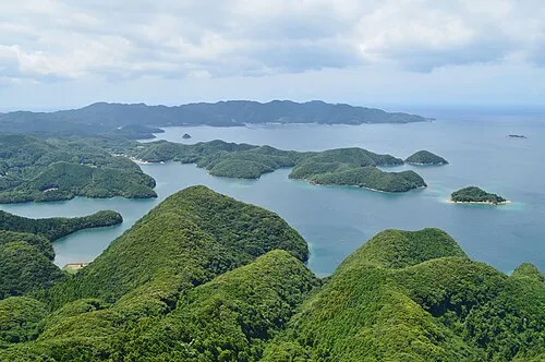 Asō Bay Natural site, Nagasaki7.1 km W
-
Shimo-shima Island, Nagasaki14 km SW
-
Kami-shima Island, Nagasaki24 km N
More lakes, rivers and coasts in Japan
-
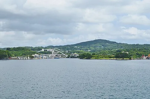 Iki Island Island, Nagasaki70 km SE
-
Hario Jima Island, Nagasaki142 km S
-
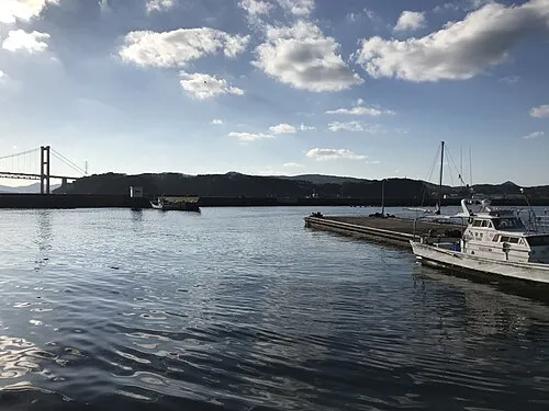 Hirado Shima Island, Nagasaki116 km S
Sources & licences
Data last updated: · 2 independent sources