- Elevation
- 29 m
- above sea level
- Local time
- UTC+09:00
- Asia/Tokyo · UTC+09:00
- Population
- 9,767
- 9.8K
- Airports
- NGS Nagasaki Airport25 km
- HSG Kyushu Saga International Airport50 km
About Hario Jima
Hario Jima is an island. Location: Nagasaki, Japan. Population: 9,767.
Hario Island (針尾島) is a large island located in the mouth of Ōmura Bay, part of Nagasaki Prefecture, Japan. The island, 33.16 km² in area, had 9767 inhabitants as of 2015, making it the 7th largest and 6th most populous island in the prefecture. The island is dominated by Citrus unshiu plantations. Seven road bridges connect the island to the mainland of Kyushu, linking it to the cities of Sasebo and Saikai. The main access routes are Japan National Route 202 and Japan National Route 205.
Source: Wikipedia · CC BY-SA 4.0
At a glance
- Area
- 33.2 km²
Source: Wikidata
Climate of Hario Jima
Best months for sightseeingBest months for sightseeing: May, October.
This month · November
Outside the best season
Day 17° · Night 10° · Rain 88 mm
Better nearby cities in November
- Beppu · 162 km east17°
- Ōita · 171 km east18°
- Kirishima · 179 km southeast19°
- Hottest month
- August (day 31°)
- Coldest month
- January (night 3°)
- Wettest month
- July (331 mm)
- Driest month
- December (62 mm)
Bars: average monthly low and high temperature. Below: precipitation. Monthly averages for 1970–2000 at about 18 km resolution, adjusted for elevation. Highlighted months are mild and relatively dry. Source: WorldClim 2.1 (CC BY 4.0).
Show values as a table
| Month | Jan | Feb | Mar | Apr | May | Jun | Jul | Aug | Sep | Oct | Nov | Dec |
|---|---|---|---|---|---|---|---|---|---|---|---|---|
| Average high (°C) | 10° | 10° | 14° | 19° | 23° | 26° | 29° | 31° | 27° | 23° | 17° | 12° |
| Average low (°C) | 3° | 3° | 6° | 11° | 15° | 19° | 24° | 24° | 21° | 15° | 10° | 5° |
| Precipitation (mm) | 73 | 84 | 126 | 181 | 190 | 327 | 331 | 190 | 204 | 101 | 88 | 62 |
How to get to Hario Jima
The nearest airport is Nagasaki Airport (NGS), 25 km to the southeast as the crow flies. The nearest large city is Sasebo, 8 km to the northwest.
Airports
- Nagasaki Airport (NGS) Nagasaki 25 kmsoutheast
- Kyushu Saga International Airport (HSG) Saga 50 kmeast
- Iki Airport (IKI) Iki 71 kmnorth
Nearby large cities
- Sasebo Population: 243.2K 8 kmnorthwest
- Isahaya Population: 135.5K 39 kmsoutheast
- Nagasaki Population: 409.1K 41 kmsouth
- Karatsu Population: 117.7K 41 kmnortheast
- Saga Population: 233.3K 51 kmeast
Straight-line distances; road distances are longer. Airport data: OurAirports.
Nearest towns and villages
-
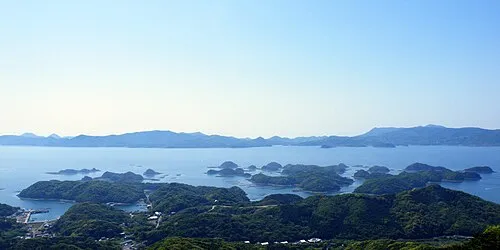 Sasebo City, Sasebo Shi7.6 km NW
-
 Kawatana Town, Kawatana Chō10 km SE
-
Kawatana Chō Municipality, Higashisonigi-gun10 km E
-
Hasami Chō Municipality, Higashisonigi-gun12 km E
-
Arita Chō Municipality, Nishimatsuura-gun14 km NE
-
Arita Town, Arita Chō15 km NE
Nearby attractions & nature
Everything nearby-
Kitamatsuura Hantō Natural site, Nagasaki21 km N
-
 Nishisonoki-hantō Natural site, Nagasaki22 km S
-
Ōmura-wan Natural site, Nagasaki20 km SE
More lakes, rivers and coasts in Japan
-
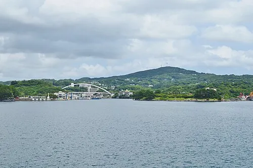 Iki Island Island, Nagasaki75 km N
-
Ike-jima Island, Nagasaki Shi30 km SW
-
Goto Group Island, Shinkamigotō Chō79 km W
-
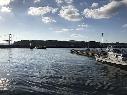 Hirado Shima Island, Nagasaki34 km NW
-
 Ha-shima Island, Nagasaki54 km S
-
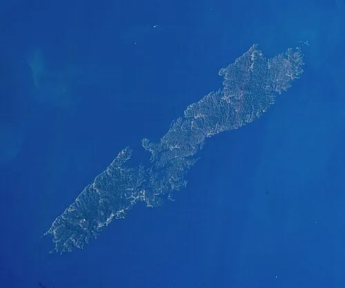 Tsushima Island Island, Nagasaki142 km N
Sources & licences
Data last updated: · 2 independent sources