- Elevation
- 234 m
- above sea level
- Local time
- UTC+09:00
- Asia/Tokyo · UTC+09:00
- Airports
- NGS Nagasaki Airport46 km
- IKI Iki Airport52 km
About Kitamatsuura Hantō
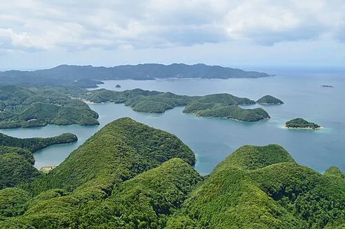
Kitamatsuura Hantō is a natural site. Location: Nagasaki, Japan.
The Kitamatsuura Peninsula (北松浦半島, Kitamatsuura Hantō) is a peninsula located in northwest Kyūshū, projecting northwest from an imaginary line drawn between Imari in Saga Prefecture and Sasebo in Nagasaki Prefecture, Japan. The peninsula is bounded by the Sea of Japan on the west, southwest and the north. Most of the peninsula is within the boundaries of the city of Hirado and Nagasaki Prefecture. The general area of and near the peninsula is commonly called the Hokushō Region (北松地方, Hokushō Chihō).
Source: Wikipedia · CC BY-SA 4.0
Climate of Kitamatsuura Hantō
Best months for sightseeingBest months for sightseeing: May–June, September–October.
This month · November
Outside the best season
Day 16° · Night 9° · Rain 94 mm
Better nearby cities in November
- Beppu · 168 km east17°
- Ōita · 178 km east18°
- Kirishima · 199 km southeast19°
- Hottest month
- August (day 29°)
- Coldest month
- January (night 1°)
- Wettest month
- July (360 mm)
- Driest month
- December (69 mm)
Bars: average monthly low and high temperature. Below: precipitation. Monthly averages for 1970–2000 at about 18 km resolution, adjusted for elevation. Highlighted months are mild and relatively dry. Source: WorldClim 2.1 (CC BY 4.0).
Show values as a table
| Month | Jan | Feb | Mar | Apr | May | Jun | Jul | Aug | Sep | Oct | Nov | Dec |
|---|---|---|---|---|---|---|---|---|---|---|---|---|
| Average high (°C) | 8° | 9° | 12° | 17° | 21° | 24° | 28° | 29° | 26° | 21° | 16° | 11° |
| Average low (°C) | 1° | 2° | 5° | 10° | 14° | 18° | 22° | 23° | 20° | 14° | 9° | 4° |
| Precipitation (mm) | 81 | 91 | 135 | 189 | 196 | 345 | 360 | 206 | 225 | 108 | 94 | 69 |
Other places to visit in this season: May June September October
How to get to Kitamatsuura Hantō
The nearest airport is Nagasaki Airport (NGS), 46 km to the southeast as the crow flies. The nearest large city is Sasebo, 14 km to the south.
Airports
- Nagasaki Airport (NGS) Nagasaki 46 kmsoutheast
- Iki Airport (IKI) Iki 52 kmnorth
- Kyushu Saga International Airport (HSG) Saga 59 kmeast
Nearby large cities
- Sasebo Population: 243.2K 14 kmsouth
- Karatsu Population: 117.7K 31 kmnortheast
- Saga Population: 233.3K 57 kmeast
- Isahaya Population: 135.5K 59 kmsoutheast
- Nagasaki Population: 409.1K 62 kmsouth
Straight-line distances; road distances are longer. Airport data: OurAirports.
Day trips from Kitamatsuura Hantō
Within 100 km: 16 historic and cultural sites, 11 natural sites, 18 lakes, rivers and coasts.
0–25 km4 places
- Hario Jima Island 21 kmS
- Ikitsuki Ōhashi Landmark 25 kmW
- Hirado Shima Island 21 kmW
- Hirado Castle Historic site 15 kmNW
25–60 km7 places
- Iki Island Island 56 kmN
- Nishisonoki-hantō Natural site 42 kmS
- Kakara Shima Island 38 kmNE
- Karatsu Castle Historic site 32 kmNE
60–100 km34 places
- Goto Group Island 82 kmSW
- Mount Unzen Mountain 81 kmSE
- Wakamatsu Island Island 78 kmSW
- Naru Island Island 86 kmSW
Straight-line distances.
Nearest towns and villages
-
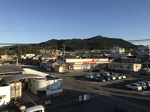 Matsuura City, Matsuura Shi5.9 km N
-
Saza-cho Municipality, Kitamatsuura-gun5.7 km SW
-
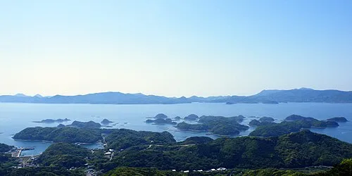 Sasebo City, Sasebo Shi14 km S
-
Emukaechō-miura Village, Sasebo Shi5.5 km W
-
 Imarichō-kō Town, Imari Shi18 km E
-
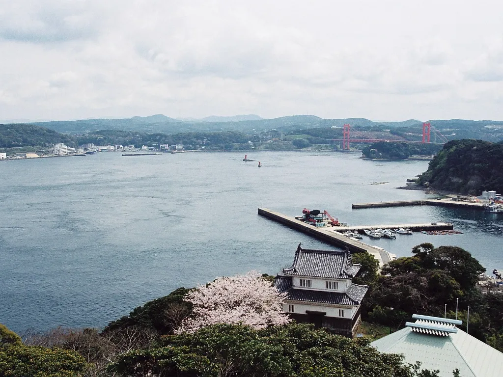 Hirado City, Hirado Shi16 km NW
Nearby attractions & nature
Everything nearby-
Hario Jima Island, Nagasaki21 km S
-
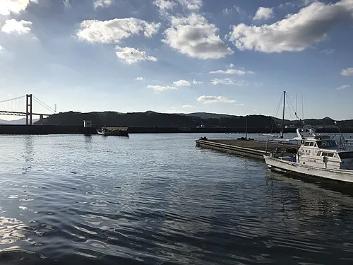 Hirado Shima Island, Nagasaki21 km W
-
 Hirado Castle Historic site, Hirado Shi15 km NW
-
Ikitsuki Ōhashi Landmark, Nagasaki25 km W
More nature in Japan
-
 Nishisonoki-hantō Natural site, Nagasaki42 km S
-
Ōmura-wan Natural site, Nagasaki41 km SE
-
 Shimabara-hantō Natural site, Nagasaki79 km SE
-
 Mount Unzen Mountain, Nagasaki81 km SE
-
 Asō Bay Natural site, Nagasaki123 km N
Sources & licences
Data last updated: · 2 independent sources