- Elevation
- 209 m
- above sea level
- Local time
- UTC+09:00
- Asia/Tokyo · UTC+09:00
- Airports
- TSJ Tsushima Airport30 km
- PUS Gimhae International Airport81 km
About Kami-shima
Kami-shima is an island. Location: Nagasaki, Japan.
Kamijima (上島) is the double-mountained northern end of Tsushima Island, which lies in the Korea Strait between the East China Sea to the south and the Sea of Japan to the north, and Korea to the west and mainland Japan to the east. The famous naval Battle of Tsushima was fought east and northeast of Kamino-shima in the Tsushima Strait. The northwest tip of Kamino-shima lies about 50 km from Busan, South Korea.
Read more on Wikipedia Text: Wikipedia contributors · CC BY-SA 4.0 · shortened
Climate of Kami-shima
Best months for sightseeingBest months for sightseeing: May–July, September–October.
Bars: average monthly low and high temperature. Below: precipitation. Monthly averages for 1970–2000 at about 18 km resolution, adjusted for elevation. Highlighted months are mild and relatively dry. Source: WorldClim 2.1 (CC BY 4.0).
Show values as a table
| Month | Jan | Feb | Mar | Apr | May | Jun | Jul | Aug | Sep | Oct | Nov | Dec |
|---|---|---|---|---|---|---|---|---|---|---|---|---|
| Average high (°C) | 7° | 8° | 11° | 16° | 20° | 23° | 26° | 28° | 24° | 20° | 15° | 10° |
| Average low (°C) | -1° | 1° | 4° | 9° | 13° | 17° | 21° | 22° | 18° | 13° | 7° | 2° |
| Precipitation (mm) | 57 | 72 | 110 | 160 | 169 | 271 | 282 | 245 | 205 | 86 | 78 | 44 |
Other places to visit in this season: May June July September October
Airports nearest to Kami-shima
- Tsushima Airport (TSJ) Tsushima 30 km
- Gimhae International Airport (PUS) Busan 81 km
- Iki Airport (IKI) Iki 96 km
Straight-line distance; airports with scheduled flights only. Source: OurAirports (public domain).
Nearby attractions & nature
Everything nearby-
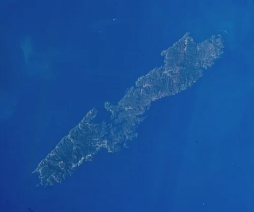 Tsushima Island Island, Nagasaki24 km S
-
Okinoshima Island, Nagasaki24 km S
More lakes, rivers and coasts in Japan
-
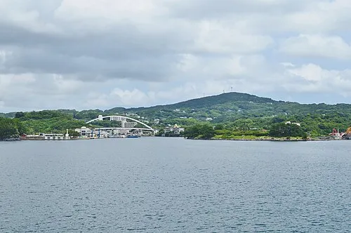 Iki Island Island, Nagasaki90 km S
-
Shimo-shima Island, Nagasaki38 km S
-
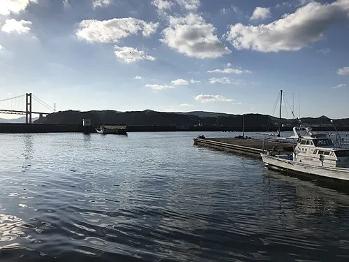 Hirado Shima Island, Nagasaki139 km S
Sources & licences
Data last updated: · 2 independent sources