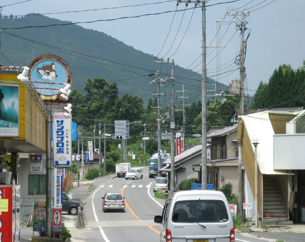
- Elevation
- 372 m
- above sea level
- Local time
- UTC+09:00
- Asia/Tokyo · UTC+09:00
- Airports
- ITM Osaka Itami International Airport57 km
- KIX Kansai International Airport63 km
About Ōuda
Ōuda is a city. Location: Uda Shi, Nara. Elevation: 372 m.
Ōuda (大宇陀町, Ōuda-chō) was a town located in Uda District, Nara Prefecture, Japan. As of 2005, the town had an estimated population of 8,647 and a density of 182.27 persons per km2. The total area was 47.44 km2. On January 1, 2006, Ōuda, along with the towns of Haibara and Utano (all from Uda District), was merged to create the city of Uda. The town of Ōuda lies in a valley between two long mountain ranges in northeastern Nara, Japan.
Read more on Wikipedia Text: Wikipedia contributors · CC BY-SA 4.0 · shortened
At a glance
- Built
- 1942
- Area
- 47.4 km²
Source: Wikidata
Climate of Ōuda
Best months for sightseeingBest months for sightseeing: May–June, September–October.
Bars: average monthly low and high temperature. Below: precipitation. Monthly averages for 1970–2000 at about 18 km resolution, adjusted for elevation. Highlighted months are mild and relatively dry. Source: WorldClim 2.1 (CC BY 4.0).
Show values as a table
| Month | Jan | Feb | Mar | Apr | May | Jun | Jul | Aug | Sep | Oct | Nov | Dec |
|---|---|---|---|---|---|---|---|---|---|---|---|---|
| Average high (°C) | 7° | 7° | 11° | 17° | 21° | 24° | 28° | 29° | 25° | 20° | 15° | 10° |
| Average low (°C) | -1° | -1° | 2° | 7° | 12° | 17° | 21° | 21° | 18° | 12° | 6° | 1° |
| Precipitation (mm) | 58 | 69 | 118 | 167 | 175 | 262 | 221 | 182 | 240 | 153 | 91 | 48 |
Other places to visit in this season: May June September October
Airports nearest to Ōuda
- Osaka Itami International Airport (ITM) Osaka 57 km
- Kansai International Airport (KIX) Osaka 63 km
- Kobe Airport (UKB) Kobe 68 km
Straight-line distance; airports with scheduled flights only. Source: OurAirports (public domain).
Nearby attractions & nature
Everything nearby-
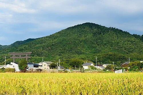 Mount Miwa Mountain, Sakurai-shi9.6 km NW
-
 Mount Amanokagu Mountain, Kashihara City11 km W
-
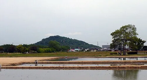 Mount Miminashi Mountain, Kashihara City13 km NW
-
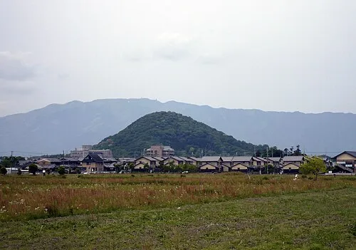 Mount Unebi Mountain, Kashihara City14 km W
-
 Takami Yama Mountain, HIgashiyoshino Mura15 km E
-
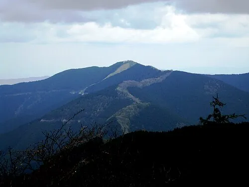 Mount Shisuniwa Mountain, Kurotaki Mura16 km S
-
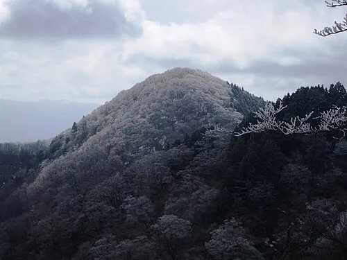 Mount Azami Mountain, Kawakami-mura17 km SE
-
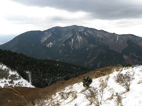 Kongō San Mountain, Gose Shi25 km W
Sources & licences
Data last updated: · 2 independent sources