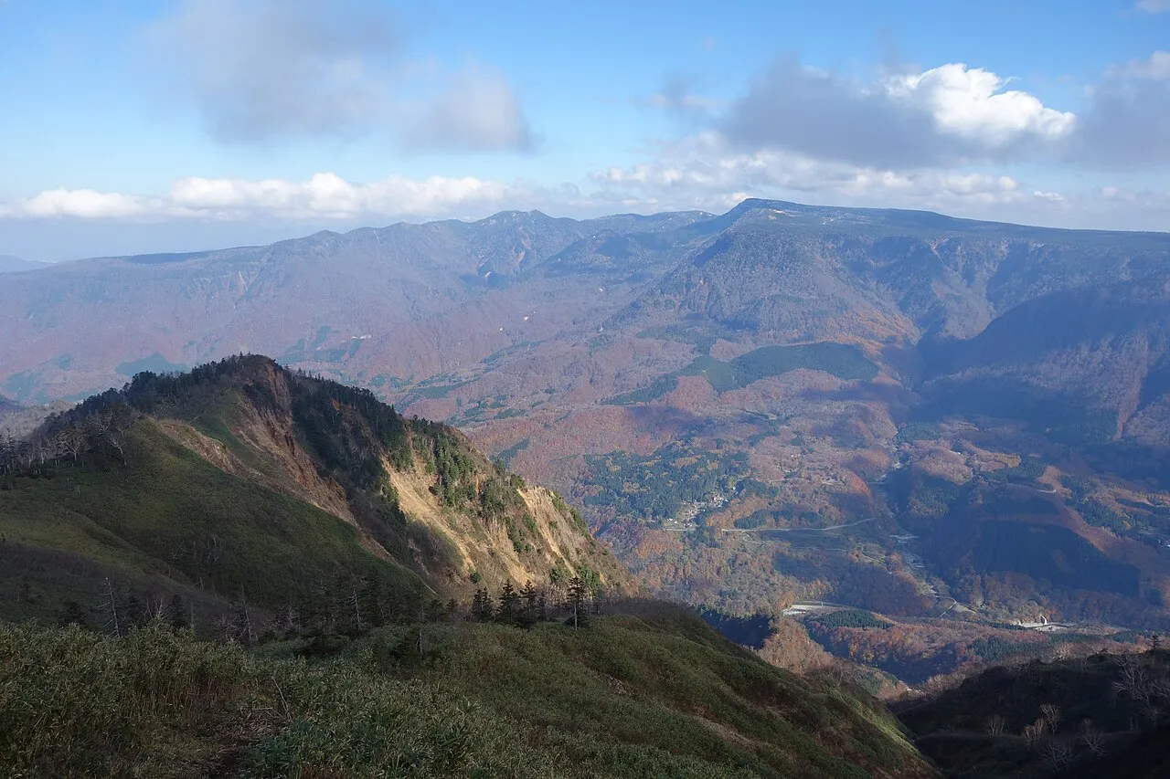
- Elevation
- 2,145 m
- above sea level
- Local time
- UTC+09:00
- Asia/Tokyo · UTC+09:00
- Airports
- MMJ Shinshu-Matsumoto Airport102 km
- KIJ Niigata Airport129 km
About Naeba-san
Naeba-san is a mountain. Location: Yuzawa Machi, Minamiōnuma-gun. Elevation: 2,145 m.
Mount Naeba (苗場山, Naeba-san) is a stratovolcano on the border of Nagano and Niigata prefectures in central Honshū, Japan. It is about 200 km (124 mi) from Tokyo. It was active between 200,000 and 800,000 years ago. It is primarily made of andesite. It is one of the 100 Famous Japanese Mountains.
Source: Wikipedia · CC BY-SA 4.0
Photos of Naeba-san
-

suri · CC BY-SA 2.0 -

Takkitakitaki · Public domain -

Yama0904 · CC BY-SA 4.0


Climate of Naeba-san
Best months for sightseeingBest months for sightseeing: August.
This month · November
A wet month
Day 2° · Night -7° · Rain 108 mm
Better nearby cities in November
- Kofu · 131 km south17°
- Isehara · 170 km south18°
- Fujinomiya · 181 km south18°
- Hottest month
- August (day 18°)
- Coldest month
- January (night -17°)
- Wettest month
- September (216 mm)
- Driest month
- March (99 mm)
Bars: average monthly low and high temperature. Below: precipitation. Monthly averages for 1970–2000 at about 18 km resolution, adjusted for elevation. Highlighted months are mild and relatively dry. Source: WorldClim 2.1 (CC BY 4.0).
Show values as a table
| Month | Jan | Feb | Mar | Apr | May | Jun | Jul | Aug | Sep | Oct | Nov | Dec |
|---|---|---|---|---|---|---|---|---|---|---|---|---|
| Average high (°C) | -8° | -8° | -5° | 3° | 9° | 13° | 17° | 18° | 13° | 7° | 2° | -4° |
| Average low (°C) | -17° | -16° | -14° | -7° | -2° | 4° | 9° | 10° | 6° | -1° | -7° | -13° |
| Precipitation (mm) | 126 | 108 | 99 | 111 | 121 | 181 | 215 | 207 | 216 | 146 | 108 | 111 |
Other places to visit in this season: August
How to get to Naeba-san
The nearest airport is Shinshu-Matsumoto Airport (MMJ), 102 km to the southwest as the crow flies. For international flights: Niigata Airport (KIJ) (129 km). The nearest large city is Nagano, 50 km to the southwest.
Airports
- Shinshu-Matsumoto Airport (MMJ) Matsumoto 102 kmsouthwest
- Niigata Airport (KIJ) Niigata 129 kmnorth
- Toyama Kitokito Airport (TOY) Toyama 136 kmwest
Nearby large cities
- Nagano Population: 372.8K 50 kmsouthwest
- Jōetsu Population: 189.4K 53 kmnorthwest
- Maebashi Population: 332.1K 61 kmsoutheast
- Ueda Population: 157.5K 61 kmsouthwest
- Takasaki Population: 373K 64 kmsoutheast
Straight-line distances; road distances are longer. Airport data: OurAirports.
Day trips from Naeba-san
Within 100 km: 3 historic and cultural sites, 38 natural sites, 10 lakes, rivers and coasts.
0–25 km1 place
- Tanigawa Dake Mountain 21 kmE
25–60 km21 places
- Mount Hotaka Mountain 40 kmE
- Mount Kusatsu-Shirane Mountain 27 kmSW
- Takama Yama Mountain 30 kmS
- Mount Asama Mountain 51 kmS
60–100 km29 places
- Umeda Ko Lake 76 kmSE
- Kirigamine Natural site 95 kmSW
- Mount Oizuru Mountain 96 kmW
- Mount Shirouma Mountain 84 kmW
Straight-line distances.
Nearest towns and villages
-
 Sakae Mura Municipality, Shimominochi-gun10 km NW
-
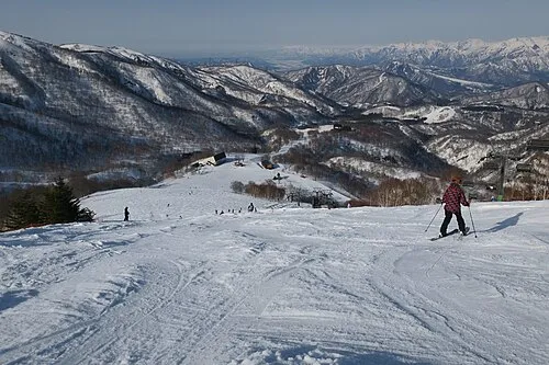 Yuzawa Town, Yuzawa Machi15 km NE
-
 Tsunan Machi Municipality, Nakaōnuma-gun15 km N
-
 Yamanouchi Machi Municipality, Shimotakai-gun19 km SW
-
Nakanojō Machi Municipality, Agatsuma-gun21 km S
-
 Kijimadaira Mura Municipality, Shimotakai-gun20 km W
Sources & licences
Data last updated: · 2 independent sources