- Population
- 14,162
- 14.2K
- Elevation
- 98 m
- above sea level
- Local time
- UTC+09:00
- Asia/Tokyo · UTC+09:00
- Places inside
- 1
- listed under Taishi-chō
- Airports
- ITM Osaka Itami International Airport35 km
- KIX Kansai International Airport39 km
About Taishi-chō
Taishi-chō is a municipality. Location: Minamikawachi-gun, Osaka. Population: 14,162. Elevation: 98 m. The best months to visit are May, October. The nearest airport is Osaka Itami International Airport (35 km). Nearby sights include PL Peace Tower and Mount Minami Katsuragi.
Photos of Taishi-chō
-
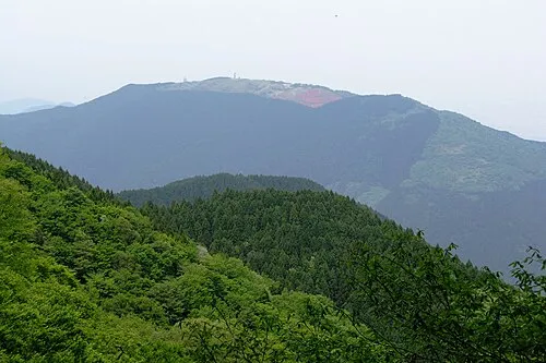
Mount Minami Katsuragi KENPEI · CC BY-SA 3.0 -
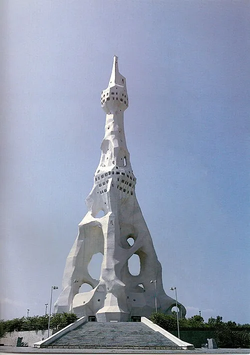
PL Peace Tower Silvio Vicente, Igreja Bela Vista, São Paulo, Brasil · Public domain


Climate of Taishi-chō
Best months for sightseeingBest months for sightseeing: May, October.
This month · November
Outside the best season
Day 17° · Night 7° · Rain 72 mm
Better nearby cities in November
- Kochi · 223 km southwest18°
- Fujinomiya · 281 km east18°
- Fuji · 286 km east20°
- Hottest month
- August (day 32°)
- Coldest month
- January (night 1°)
- Wettest month
- June (223 mm)
- Driest month
- December (37 mm)
Bars: average monthly low and high temperature. Below: precipitation. Monthly averages for 1970–2000 at about 18 km resolution, adjusted for elevation. Highlighted months are mild and relatively dry. Source: WorldClim 2.1 (CC BY 4.0).
Show values as a table
| Month | Jan | Feb | Mar | Apr | May | Jun | Jul | Aug | Sep | Oct | Nov | Dec |
|---|---|---|---|---|---|---|---|---|---|---|---|---|
| Average high (°C) | 9° | 10° | 13° | 20° | 24° | 27° | 31° | 32° | 28° | 23° | 17° | 12° |
| Average low (°C) | 1° | 1° | 3° | 9° | 14° | 18° | 23° | 23° | 19° | 13° | 7° | 3° |
| Precipitation (mm) | 44 | 58 | 100 | 136 | 146 | 223 | 167 | 113 | 191 | 119 | 72 | 37 |
How to get to Taishi-chō
The nearest airport is Osaka Itami International Airport (ITM), 35 km to the northwest as the crow flies. The nearest large city is Tondabayashi, 5 km to the west.
Airports
- Osaka Itami International Airport (ITM) Osaka 35 kmnorthwest
- Kansai International Airport (KIX) Osaka 39 kmwest
- Kobe Airport (UKB) Kobe 41 kmwest
Nearby large cities
- Tondabayashi Population: 132.9K 5 kmwest
- Habikino Population: 109.5K 7 kmnorthwest
- Kawachi-Nagano Population: 101.7K 11 kmsouthwest
- Matsubara Population: 130.9K 11 kmnorthwest
- Yao Population: 273.2K 12 kmnorthwest
Straight-line distances; road distances are longer. Airport data: OurAirports.
Day trips from Taishi-chō
Within 100 km: 30 historic and cultural sites, 42 natural sites, 17 lakes, rivers and coasts.
0–25 km14 places
- Mount Miwa Mountain 20 kmE
- Mount Amanokagu Mountain 16 kmE
- Mount Miminashi Mountain 14 kmE
- Mount Unebi Mountain 12 kmE
25–60 km53 places
- Mount Rokkō Mountain 46 kmNW
- Mount Ōdaigahara Mountain 53 kmSE
- Mount Kunimi Mountain 53 kmSE
- Mount Azami Mountain 42 kmSE
60–100 km22 places
- Awaji Island Island 77 kmW
- Kumozu River River 83 kmE
- Choshi River River 71 kmSE
- Ōnaruto Brdige Landmark 97 kmW
Straight-line distances.
Places in Taishi-chō
1 placeBar: population relative to the most populous place in this list.
Nearby attractions & nature
Everything nearby-
PL Peace Tower Landmark, Tondabayashi Shi6.4 km W
-
Mount Minami Katsuragi Mountain, Chihaya-akasaka Mura7.3 km S
-
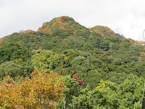 Mount Shigi Mountain, Heguri-chō11 km N
-
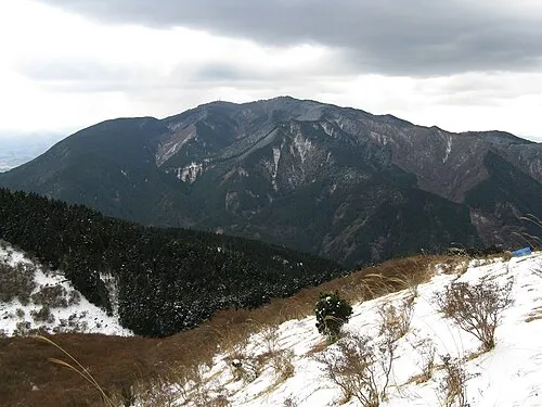 Kongō San Mountain, Gose Shi11 km S
-
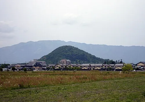 Mount Unebi Mountain, Kashihara City12 km E
-
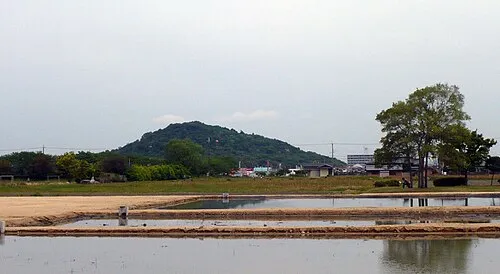 Mount Miminashi Mountain, Kashihara City14 km E
-
 Mount Amanokagu Mountain, Kashihara City16 km E
-
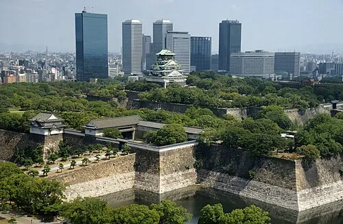 Osaka Castle Historic site, Chūō Ku22 km NW
Sources & licences
Data last updated: