Kanzakimachi-kanzaki
Local name: 神埼市
Located in Kanzaki Shi, Saga Prefecture Coordinates: 33°18′32″ N 130°22′26″ E
- Population
- 31,022
- 31K
- Elevation
- 5 m
- above sea level
- Local time
- UTC+09:00
- Asia/Tokyo · UTC+09:00
- Airports
- HSG Kyushu Saga International Airport19 km
- FUK Fukuoka Airport32 km
About Kanzakimachi-kanzaki
Kanzakimachi-kanzaki is a town. Location: Kanzaki Shi, Saga Prefecture. Population: 31,022. Elevation: 5 m.
Kanzaki (神埼市, Kanzaki-shi) is a city located in Saga Prefecture, Japan. As of 30 April 2024, the city had an estimated population of 30,329 in 12,440 households, and a population density of 240 persons per km2. The total area of the city is 125.13 km2 (48.31 sq mi).
Source: Wikipedia · CC BY-SA 4.0
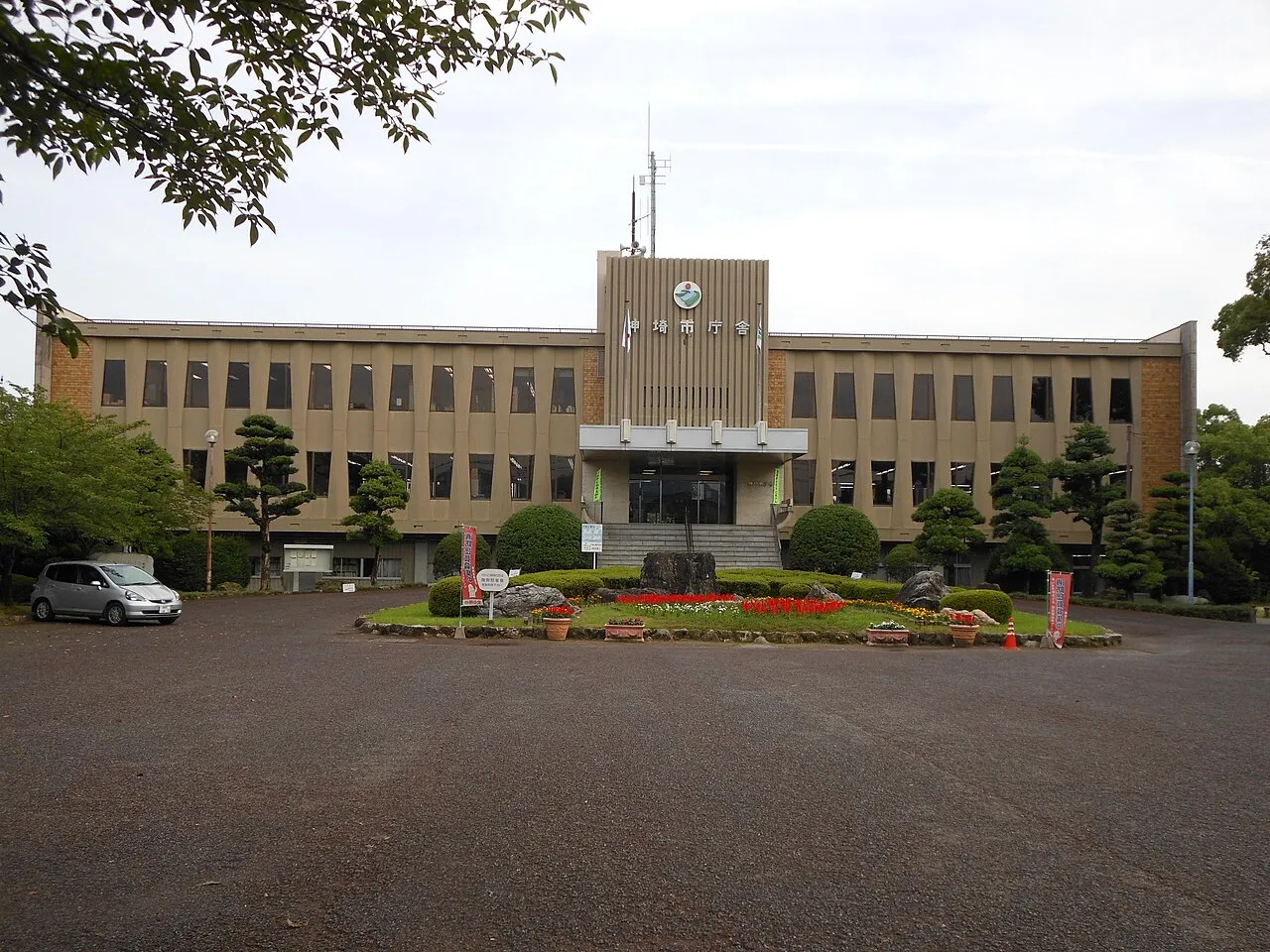
Photos of Kanzakimachi-kanzaki
-

Peka · CC BY-SA 4.0 -

Peka · CC BY-SA 4.0 -

Pekachu · CC BY-SA 4.0


Travel notes for Kanzakimachi-kanzaki
From Wikivoyage
Kanzaki (神埼市) is a city in Saga Prefecture, Japan.
Understand+
Tourist information site:
The local tourist association has a Japanese-only guide site with integrated Google Translate.
Source: Wikivoyage · CC BY-SA 4.0 · abridged
Places bordering Kanzakimachi-kanzaki
- Saga City
- Yoshinogari Chō
- Miyaki-gun
- Kurume
- Ōkawa
- Fukuoka City
Population of Kanzakimachi-kanzaki over time
| 1980 | 31,815 | |
|---|---|---|
| 1985 | 32,339 | |
| 1990 | 32,502 | |
| 1995 | 33,049 | |
| 2000 | 33,648 | |
| 2005 | 33,537 | |
| 2010 | 32,899 | |
| 2014 | 32,072 | |
| 2015 | 31,842 | |
| 2018 | 31,365 | |
| 2021 | 30,686 |
Censuses and official estimates; source: Wikidata.
Climate of Kanzakimachi-kanzaki
Best months for sightseeingBest months for sightseeing: May, October.
This month · November
Outside the best season
Day 18° · Night 8° · Rain 68 mm
Better nearby cities in November
- Beppu · 104 km east17°
- Ōita · 114 km east18°
- Nobeoka · 145 km southeast18°
- Hottest month
- August (day 32°)
- Coldest month
- January (night 1°)
- Wettest month
- June (314 mm)
- Driest month
- January (57 mm)
Bars: average monthly low and high temperature. Below: precipitation. Monthly averages for 1970–2000 at about 18 km resolution, adjusted for elevation. Highlighted months are mild and relatively dry. Source: WorldClim 2.1 (CC BY 4.0).
Show values as a table
| Month | Jan | Feb | Mar | Apr | May | Jun | Jul | Aug | Sep | Oct | Nov | Dec |
|---|---|---|---|---|---|---|---|---|---|---|---|---|
| Average high (°C) | 10° | 11° | 14° | 20° | 24° | 27° | 31° | 32° | 28° | 23° | 18° | 12° |
| Average low (°C) | 1° | 2° | 5° | 10° | 14° | 19° | 23° | 24° | 20° | 14° | 8° | 3° |
| Precipitation (mm) | 57 | 73 | 105 | 148 | 162 | 314 | 303 | 180 | 197 | 92 | 68 | 58 |
How to get to Kanzakimachi-kanzaki
The nearest airport is Kyushu Saga International Airport (HSG), 19 km to the south as the crow flies. The nearest large city is Saga, 11 km to the southwest.
Airports
- Kyushu Saga International Airport (HSG) Saga 19 kmsouth
- Fukuoka Airport (FUK) Fukuoka 32 kmnorth
- Nagasaki Airport (NGS) Nagasaki 61 kmsouthwest
Nearby large cities
- Saga Population: 233.3K 11 kmsouthwest
- Kurume Population: 303.6K 13 kmeast
- Chikushino-shi Population: 103.3K 25 kmnortheast
- Kasuga Population: 111K 25 kmnorth
- Ōnojō Population: 102.1K 27 kmnorth
Straight-line distances; road distances are longer. Airport data: OurAirports.
Day trips from Kanzakimachi-kanzaki
Within 100 km: 21 historic and cultural sites, 20 natural sites, 19 lakes, rivers and coasts.
0–25 km4 places
- Chikugo River River 19 kmS
- Mt. Abura Mountain 23 kmN
- Mount Sefuri Mountain 14 kmN
- Kyushu Historical Museum Museum 22 kmNE
25–60 km23 places
- Shimabara Castle Historic site 58 kmS
- Kyūshū Kokuritsu Hakubutsukan Museum 28 kmNE
- Shika Island Island 41 kmN
- Kakara Shima Island 58 kmNW
60–100 km33 places
- Iki Island Island 80 kmNW
- Hiko Shima Island 85 kmNE
- Hario Jima Island 61 kmW
- Mount Unzen Mountain 63 kmS
Straight-line distances.
Nearby attractions & nature
Everything nearby-
 Mount Sefuri Mountain, Sawara14 km N
-
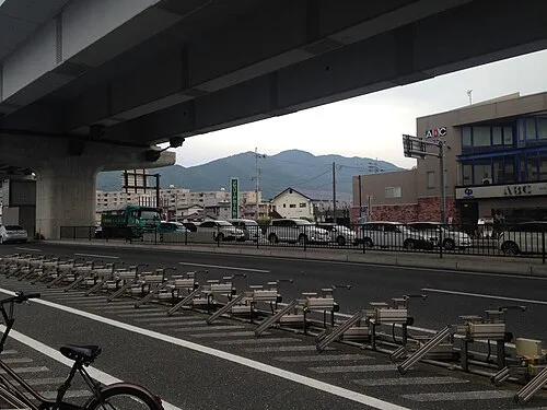 Mt. Abura Mountain, Minami23 km N
-
 Kyushu Historical Museum Museum, Ogōri-shi22 km NE
-
 Chikugo River River, Japan19 km S
Sources & licences
Data last updated: · 2 independent sources