- Local time
- UTC+09:00
- Asia/Tokyo · UTC+09:00
- Airports
- HSG Kyushu Saga International Airport5 km
- NGS Nagasaki Airport48 km
About Chikugo River
Chikugo River is a river. Location: Japan.
The Chikugo River (筑後川, Chikugo-gawa) flows through Kumamoto, Ōita, Fukuoka and Saga prefectures in Japan. With a total length of 143 kilometres (89 mi), it is the longest river on Kyūshū. It flows from Mount Aso and empties into the Ariake Sea. It is also nicknamed "Tsukushi Jirō". The upper reaches of the Class A river are important to forestry, and the middle and lower reaches are important to local agriculture, providing irrigation to some 400 square kilometres (154 mi2) of rice fields on the Tsukushi Plain.
Read more on Wikipedia Text: Wikipedia contributors · CC BY-SA 4.0 · shortened
At a glance
- Length
- 143 km
Source: Wikidata
Climate of Chikugo River
Best months for sightseeingBest months for sightseeing: May, October.
Bars: average monthly low and high temperature. Below: precipitation. Monthly averages for 1970–2000 at about 18 km resolution, adjusted for elevation. Highlighted months are mild and relatively dry. Source: WorldClim 2.1 (CC BY 4.0).
Show values as a table
| Month | Jan | Feb | Mar | Apr | May | Jun | Jul | Aug | Sep | Oct | Nov | Dec |
|---|---|---|---|---|---|---|---|---|---|---|---|---|
| Average high (°C) | 10° | 11° | 14° | 20° | 24° | 27° | 30° | 31° | 28° | 23° | 18° | 12° |
| Average low (°C) | 1° | 2° | 5° | 10° | 14° | 19° | 23° | 23° | 20° | 14° | 8° | 3° |
| Precipitation (mm) | 52 | 73 | 106 | 152 | 168 | 311 | 303 | 189 | 196 | 91 | 66 | 56 |
Airports nearest to Chikugo River
- Kyushu Saga International Airport (HSG) Saga 5 km
- Nagasaki Airport (NGS) Nagasaki 48 km
- Fukuoka Airport (FUK) Fukuoka 50 km
Straight-line distance; airports with scheduled flights only. Source: OurAirports (public domain).
Nearest towns and villages
More lakes, rivers and coasts in Japan
-
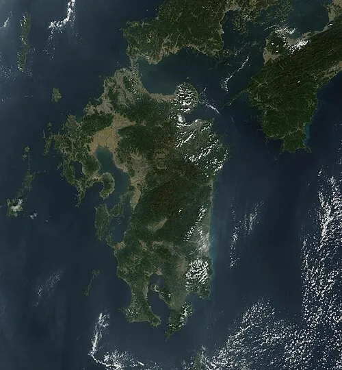 Kyūshū Island, Kumamoto99 km SE
-
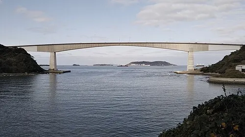 Hiko Shima Island, Shimonoseki Shi102 km NE
-
Hario Jima Island, Nagasaki55 km W
-
Kikuchi River River, Kumamoto33 km SE
-
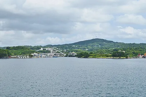 Iki Island Island, Nagasaki93 km NW
-
Shimoshima Island Island, Kumamoto93 km S
Sources & licences
Data last updated: · 2 independent sources