- Elevation
- 0 m
- above sea level
- Local time
- UTC+09:00
- Asia/Tokyo · UTC+09:00
- Airports
- IZO Izumo Enmusubi Airport3 km
- YGJ Yonago Kitaro Airport / JASDF Miho Air Base33 km
About Hii River
Hii River is a river. Location: Shimane, Japan.
The Hii River (斐伊川, Hii-kawa) is a river on the island of Honshu in Shimane Prefecture and Tottori Prefecture, Japan. With a length of 153 km (95 mi) and catchment of 2,540 km2 (980 sq mi), it is the largest river in the east of Shimane Prefecture. It flows through the cities of Izumo and Matsue and through the lakes Shinji and Nakaumi and discharges into the Sea of Japan. In antiquity the river was known as "Izumo-no-okawa" (出雲大川, "The great Izumo river").
Read more on Wikipedia Text: Wikipedia contributors · CC BY-SA 4.0 · shortened
At a glance
- Length
- 153 km
Source: Wikidata
Climate of Hii River
Best months for sightseeingBest months for sightseeing: May–June, October.
Bars: average monthly low and high temperature. Below: precipitation. Monthly averages for 1970–2000 at about 18 km resolution, adjusted for elevation. Highlighted months are mild and relatively dry. Source: WorldClim 2.1 (CC BY 4.0).
Show values as a table
| Month | Jan | Feb | Mar | Apr | May | Jun | Jul | Aug | Sep | Oct | Nov | Dec |
|---|---|---|---|---|---|---|---|---|---|---|---|---|
| Average high (°C) | 8° | 8° | 12° | 18° | 22° | 25° | 29° | 31° | 26° | 21° | 16° | 11° |
| Average low (°C) | 1° | 1° | 3° | 8° | 13° | 18° | 22° | 23° | 19° | 12° | 7° | 3° |
| Precipitation (mm) | 126 | 102 | 105 | 110 | 113 | 182 | 189 | 116 | 199 | 121 | 105 | 100 |
Airports nearest to Hii River
- Izumo Enmusubi Airport (IZO) Izumo 3 km
- Yonago Kitaro Airport / JASDF Miho Air Base (YGJ) Yonago 33 km
- Oki Global Geopark Airport (OKI) Okinoshima 92 km
Straight-line distance; airports with scheduled flights only. Source: OurAirports (public domain).
Nearest towns and villages
More lakes, rivers and coasts in Japan
-
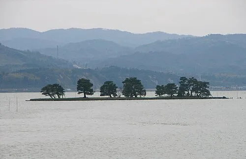 Shinji Ko Lake, Shimane7.2 km E
-
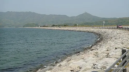 Lake Nakaumi Lake, Shimane29 km E
-
Daikon Island Island, Shimane28 km E
-
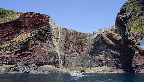 Oki Islands Island, Shimane96 km N
-
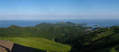 Chiburi Shima Island, Shimane66 km N
-
 Nakano Shima Island, Ama Chō74 km N
Sources & licences
Data last updated: · 2 independent sources