- Elevation
- 2 m
- above sea level
- Local time
- UTC+09:00
- Asia/Tokyo · UTC+09:00
- Airports
- MBE Monbetsu Airport11 km
- MMB Memanbetsu Airport87 km
About Shokotsu River
Shokotsu River is a river. Location: Japan.
The Shokotsu River (渚滑川, Shokotsu-gawa) is a river in Hokkaido, Japan. It is designated a Class A river by the Ministry of Land, Infrastructure, Transport and Tourism.
Read more on Wikipedia Text: Wikipedia contributors · CC BY-SA 4.0 · shortened
At a glance
- Length
- 84 km
Source: Wikidata
Climate of Shokotsu River
Best months for sightseeingBest months for sightseeing: July–September.
Bars: average monthly low and high temperature. Below: precipitation. Monthly averages for 1970–2000 at about 18 km resolution, adjusted for elevation. Highlighted months are mild and relatively dry. Source: WorldClim 2.1 (CC BY 4.0).
Show values as a table
| Month | Jan | Feb | Mar | Apr | May | Jun | Jul | Aug | Sep | Oct | Nov | Dec |
|---|---|---|---|---|---|---|---|---|---|---|---|---|
| Average high (°C) | -4° | -3° | 1° | 9° | 14° | 17° | 21° | 23° | 20° | 14° | 6° | 0° |
| Average low (°C) | -11° | -12° | -7° | 0° | 4° | 9° | 14° | 16° | 11° | 5° | -1° | -7° |
| Precipitation (mm) | 56 | 39 | 54 | 53 | 67 | 71 | 92 | 125 | 123 | 89 | 69 | 58 |
Airports nearest to Shokotsu River
- Monbetsu Airport (MBE) Monbetsu 11 km
- Memanbetsu Airport (MMB) Ōzora 87 km
- Asahikawa Airport (AKJ) Higashikagura 105 km
Straight-line distance; airports with scheduled flights only. Source: OurAirports (public domain).
Nearest towns and villages
-
 Mombetsu Town, Monbetsu Shi4 km SE
-
Okoppe Village, Monbetsu Gun19 km NW
-
Setoushi Village, Nishiokoppe Mura30 km W
-
Takinoue Village, Takinoue Chō29 km SW
-
Yūbetsu Chō Municipality, Monbetsu Gun39 km SE
-
Takinoue Chō Municipality, Monbetsu Gun39 km SW
More lakes, rivers and coasts in Japan
-
Tatsuushi River River, Hokkaido20 km S
-
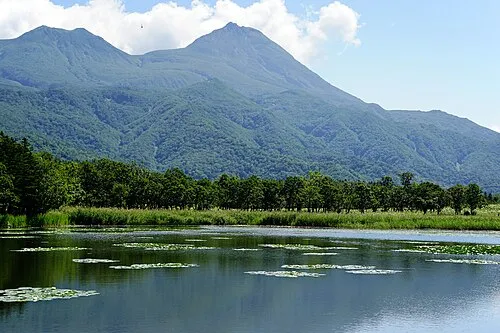 Hokkaido Island, Shintoku Chō110 km S
-
Yubetsu River River, Hokkaido29 km SE
-
 Lake Notoro Lake, Hokkaido75 km SE
-
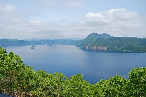 Lake Mashū Lake, Hokkaido132 km SE
-
Lake Saroma Lake, Hokkaido49 km SE
Sources & licences
Data last updated: · 2 independent sources