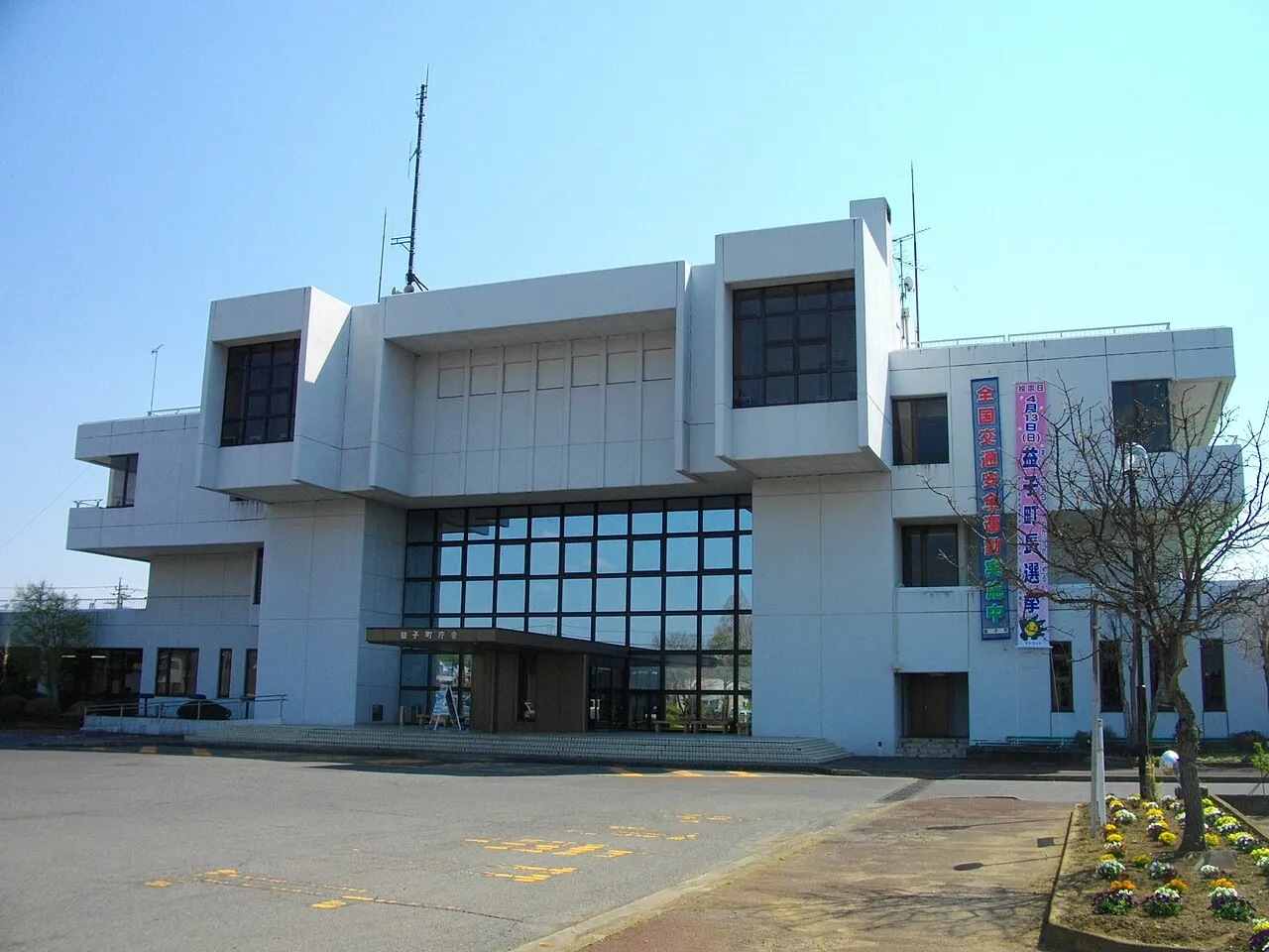
- Population
- 26,045
- 26K
- Elevation
- 79 m
- above sea level
- Local time
- UTC+09:00
- Asia/Tokyo · UTC+09:00
- Airports
- IBR Ibaraki Airport42 km
- NRT Narita International Airport82 km
About Mashiko
Mashiko is a town. Location: Mashiko Machi, Haga-gun. Population: 26,045. Elevation: 79 m. The best months to visit are May–June, September–October. The nearest airport is Ibaraki Airport (42 km). Nearby sights include Mount Yamizo and Mount Kaba.
Photos of Mashiko
-

Koda6029 · CC BY-SA 4.0 -

コヲ? · CC BY-SA 4.0 -

C2revenge · CC BY-SA 4.0 -

FukuroWaraw · CC BY-SA 4.0 -

Σ64 · CC BY 3.0


Travel notes for Mashiko
From Wikivoyage
Mashiko (益子) is a rural town in Tochigi Prefecture, Japan. Mashiko is famous for its pottery, known as Mashiko yaki (益子焼). Mashiko is the site of Saimyoji temple, one of the oldest temples in Tochigi prefecture, and the shrine of the Utsunomiya han, located in Kami-Oba (上大羽).
Understand+
Large noborigama kilns were first founded there in 1853, by immigrant potters from the neighboring pottery community Kasama in Ibaraki prefecture. Simple and rustic in style, the main glazes are a clear wood ash glaze, a white rice husk ash glaze, black and kaki (persimmon), sometimes decorated with enamel red, yellow and green. These are worlds apart from the courtly ceramics of Kyoto but yet very Japanese.
Pottery has been made since Jomon times (over 10,000 years ago) in Mashiko, but modern Mashiko yaki dates only to 1853. The style was popularized by the potter Shōji Hamada. He was designated as a Holder of Important Intangible Cultural Property (so-called Ningen Kokuhō, Living National Treasure) in 1955. Because of Hamada, Mashiko yaki has been viewed as a good example of Mingei (Folkcraft) pottery.
Tourist information site:
The local tourist association has a bilingual guide site.
Get in+
Mashiko is a convenient day trip from Tokyo, and it is easy to get there by car, train, bus, or some combination of all three.
By train:
The fastest route is to take the JR Utsunomiya Line from Ueno to Oyama, which takes 42 min by Shinkansen or 82 min by normal train. Change here for the Mito line to Shimodate (21 min), then change yet again to the private Mōka Railway line to Mashiko (41 min). By normal train, the total cost is ¥2360 and the trip takes around three hours one way with transfer time factored in.
An alternative approach not much different in time or price is to take the JR Jōban line from Ueno to Toride, then change to the private Kantetsu-Jōsō line to Shimodate.
Note that the Mōka Railway (真岡鉄道) runs steam locomotives (coded as "SL" on schedules) once a day in each direction on Saturdays. The SL fare is about double the regular fare of ¥740 between the two stations. The railway station at Mōka is shaped like a giant steam locomotive.
By bus:
Another alternative is to take the train to Utsunomiya and continue from there by Toya bus directly to Mashiko. The bus stops are in front of the main entrance to the train station. Look for bus station number 14 to Mashiko. Buses leave approximately hourly, take one hour and cost ¥1100. Remember, you don't have to be at a bus stop in the Jonai shopping area: just raise your hand and get the driver's attention and they'll stop and let you on.
Source: Wikivoyage · CC BY-SA 4.0 · abridged
Climate of Mashiko
Best months for sightseeingBest months for sightseeing: May–June, September–October.
This month · November
Outside the best season
Day 15° · Night 5° · Rain 73 mm
Better nearby cities in November
- Isehara · 138 km southwest18°
- Odawara · 159 km southwest19°
- Kofu · 164 km southwest17°
- Hottest month
- August (day 29°)
- Coldest month
- January (night -3°)
- Wettest month
- September (184 mm)
- Driest month
- January (33 mm)
Bars: average monthly low and high temperature. Below: precipitation. Monthly averages for 1970–2000 at about 18 km resolution, adjusted for elevation. Highlighted months are mild and relatively dry. Source: WorldClim 2.1 (CC BY 4.0).
Show values as a table
| Month | Jan | Feb | Mar | Apr | May | Jun | Jul | Aug | Sep | Oct | Nov | Dec |
|---|---|---|---|---|---|---|---|---|---|---|---|---|
| Average high (°C) | 8° | 8° | 11° | 17° | 21° | 23° | 27° | 29° | 25° | 20° | 15° | 10° |
| Average low (°C) | -3° | -2° | 1° | 7° | 12° | 16° | 20° | 21° | 18° | 11° | 5° | -1° |
| Precipitation (mm) | 33 | 51 | 84 | 112 | 128 | 164 | 151 | 149 | 184 | 159 | 73 | 39 |
Other places to visit in this season: May June September October
How to get to Mashiko
The nearest airport is Ibaraki Airport (IBR), 42 km to the southeast as the crow flies. The nearest large city is Chikusei, 20 km to the southwest.
Airports
- Ibaraki Airport (IBR) Omitama 42 kmsoutheast
- Narita International Airport (NRT) Narita 82 kmsouth
- Fukushima Airport (FKS) Sukagawa 89 kmnorth
Nearby large cities
- Chikusei Population: 100.8K 20 kmsouthwest
- Utsunomiya Population: 518.8K 22 kmnorthwest
- Oyama Population: 167.6K 33 kmsouthwest
- Mito Population: 270.7K 34 kmeast
- Tochigi Population: 159.1K 34 kmwest
Straight-line distances; road distances are longer. Airport data: OurAirports.
Day trips from Mashiko
Within 100 km: 33 historic and cultural sites, 18 natural sites, 20 lakes, rivers and coasts.
0–25 km2 places
- Mount Kaba Mountain 19 kmS
- Mount Yamizo Mountain 14 kmE
25–60 km5 places
- Mount_Tsukuba Mountain 27 kmS
- Kuji-gawa River 46 kmE
- Lake Kasumigaura Lake 55 kmSE
- Naka-gawa River 47 kmE
60–100 km64 places
- Rokugi En Attraction 87 kmS
- Shinjuku Gyōen Attraction 94 kmS
- Gokoku Ji Attraction 89 kmS
- Saitama Super Arena Landmark 76 kmSW
Straight-line distances.
Nearby attractions & nature
Everything nearby-
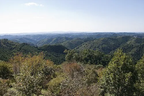 Mount Yamizo Mountain, Ibaraki14 km E
-
Mount Kaba Mountain, Ishioka Shi19 km S
Sources & licences
Data last updated: