
- Population
- 29,616
- 29.6K
- Elevation
- 269 m
- above sea level
- Local time
- UTC+09:00
- Asia/Tokyo · UTC+09:00
- Airports
- MMJ Shinshu-Matsumoto Airport86 km
- FSZ Mount Fuji Shizuoka Airport103 km
About Isawa
Isawa is a town. Location: Fuefuki Shi, Yamanashi. Population: 29,616. Elevation: 269 m.
Isawa (石和町, Isawa-chō) was a town located in Higashiyatsushiro District, Yamanashi Prefecture, Japan. As of 2003, the town had an estimated population of 27,603 and a density of 1,850.07 persons per km2. The total area was 14.92 km2. It was famous for its hot springs and for its springtime medieval festival. It was a sister city to Bad Mergentheim, Germany.
Source: Wikipedia · CC BY-SA 4.0
At a glance
- Built
- 1903
- Area
- 14.9 km²
Source: Wikidata
Climate of Isawa
Best months for sightseeingBest months for sightseeing: May, October.
This month · November
Outside the best season
Day 16° · Night 5° · Rain 63 mm
Better nearby cities in November
- Kofu · 6 km west17°
- Fujinomiya · 48 km south18°
- Fuji · 54 km south20°
- Hottest month
- August (day 31°)
- Coldest month
- January (night -3°)
- Wettest month
- September (187 mm)
- Driest month
- December (32 mm)
Bars: average monthly low and high temperature. Below: precipitation. Monthly averages for 1970–2000 at about 18 km resolution, adjusted for elevation. Highlighted months are mild and relatively dry. Source: WorldClim 2.1 (CC BY 4.0).
Show values as a table
| Month | Jan | Feb | Mar | Apr | May | Jun | Jul | Aug | Sep | Oct | Nov | Dec |
|---|---|---|---|---|---|---|---|---|---|---|---|---|
| Average high (°C) | 9° | 9° | 13° | 19° | 23° | 26° | 29° | 31° | 26° | 21° | 16° | 11° |
| Average low (°C) | -3° | -2° | 1° | 7° | 12° | 16° | 20° | 21° | 18° | 11° | 5° | -1° |
| Precipitation (mm) | 38 | 53 | 89 | 106 | 112 | 178 | 146 | 177 | 187 | 125 | 63 | 32 |
How to get to Isawa
The nearest airport is Shinshu-Matsumoto Airport (MMJ), 86 km to the northwest as the crow flies. For international flights: Mount Fuji Shizuoka Airport (FSZ) (103 km). The nearest large city is Kofu, 6 km to the west.
Airports
- Shinshu-Matsumoto Airport (MMJ) Matsumoto 86 kmnorthwest
- Mount Fuji Shizuoka Airport (FSZ) Makinohara / Shimada 103 kmsouthwest
- Tokyo Haneda International Airport (HND) Tokyo 105 kmeast
Nearby large cities
- Kofu Population: 189.6K 6 kmwest
- Fujinomiya Population: 132.5K 48 kmsouth
- Fuji Population: 245.4K 54 kmsouth
- Ōme Population: 133.5K 57 kmeast
- Hadano Population: 163.8K 62 kmsoutheast
Straight-line distances; road distances are longer. Airport data: OurAirports.
Nearby attractions & nature
Everything nearby-
Saiko Lake Lake, Fuji-yoshida Shi17 km S
-
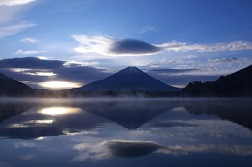 Lake Shoji Lake, Fuji-yoshida Shi18 km S
-
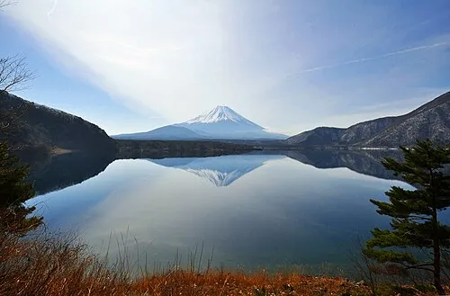 Lake Motosu Lake, Fuji-yoshida Shi21 km S
-
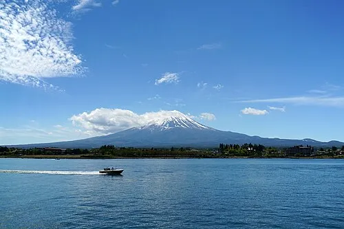 Lake Kawaguchi Lake, Japan18 km SE
-
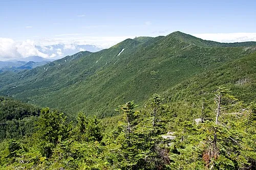 Kimpō-zan Mountain, Hokuto Shi24 km N
-
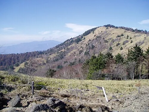 Mount Daibosatsu Mountain, Tabayama Village23 km NE
-
Fuefuki River River, Japan18 km SW
Sources & licences
Data last updated: · 2 independent sources