- Population
- 5,356
- 5.4K
- Elevation
- 233 m
- above sea level
- Local time
- UTC+00:00
- Africa/Casablanca · UTC+00:00
- Airports
- MLN Melilla Airport52 km
- NDR Nador Al Aaroui International Airport54 km
About Ras El Ma
Ras El Ma is a municipality. Location: Nador Province, Oriental. Population: 5,356. Elevation: 233 m. The best months to visit are April–June, October–November. The nearest airport is Melilla Airport (52 km). Nearby sights include Isla del Congreso and Isla del Rey.
Climate of Ras El Ma
Best months for sightseeingBest months for sightseeing: April–June, October–November.
This month · November
A good month to visit
Day 20° · Night 10° · Rain 24 mm
- Hottest month
- August (day 31°)
- Coldest month
- January (night 6°)
- Wettest month
- January (52 mm)
- Driest month
- July (0 mm)
Bars: average monthly low and high temperature. Below: precipitation. Monthly averages for 1970–2000 at about 18 km resolution, adjusted for elevation. Highlighted months are mild and relatively dry. Source: WorldClim 2.1 (CC BY 4.0).
Show values as a table
| Month | Jan | Feb | Mar | Apr | May | Jun | Jul | Aug | Sep | Oct | Nov | Dec |
|---|---|---|---|---|---|---|---|---|---|---|---|---|
| Average high (°C) | 16° | 17° | 19° | 21° | 24° | 27° | 30° | 31° | 28° | 24° | 20° | 18° |
| Average low (°C) | 6° | 7° | 9° | 10° | 13° | 16° | 18° | 19° | 17° | 14° | 10° | 7° |
| Precipitation (mm) | 52 | 39 | 35 | 51 | 31 | 6 | 0 | 2 | 21 | 28 | 24 | 43 |
Other places to visit in this season: April May June October November
How to get to Ras El Ma
The nearest airport is Melilla Airport (MLN), 52 km to the northwest as the crow flies. For international flights: Nador Al Aaroui International Airport (NDR) (54 km). The nearest large city is Al Hoceima, 137 km to the west.
Airports
- Melilla Airport (MLN) Melilla 52 kmnorthwest
- Nador Al Aaroui International Airport (NDR) Al Aaroui 54 kmwest
- Oujda Angads Airport (OUD) Ahl Angad 56 kmsoutheast
Nearby large cities
- Al Hoceima Population: 395.6K 137 kmwest
- Almería Population: 196.9K 197 kmnorth
- Málaga Population: 592.3K 256 kmnorthwest
- Granada Population: 233.5K 258 kmnorthwest
- Tétouan Population: 415.8K 272 kmwest
Straight-line distances; road distances are longer. Airport data: OurAirports.
Day trips from Ras El Ma
Within 100 km: 28 historic and cultural sites, 8 natural sites, 11 lakes, rivers and coasts.
0–25 km6 places
- Chafarinas Islands Island 13 kmN
- Isabel II Island Lighthouse Landmark 14 kmN
- Isla del Rey Island 13 kmN
- Isabel II Island Island 13 kmN
25–60 km39 places
- Playa de San Lorenzo Beach 51 kmNW
- Playa de los Cárabos Beach 51 kmNW
- Playa de la Hípica Beach 50 kmNW
- Playa de Horcas Coloradas Beach 52 kmNW
60–100 km2 places
- Jebel Hamza Mountain 71 kmW
- Cap des Trois Fourches Natural site 63 kmNW
Straight-line distances.
Nearby attractions & nature
Everything nearby-
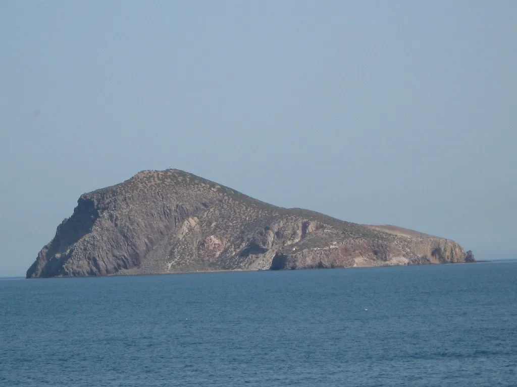 Isla del Congreso Island, Spain13 km N
-
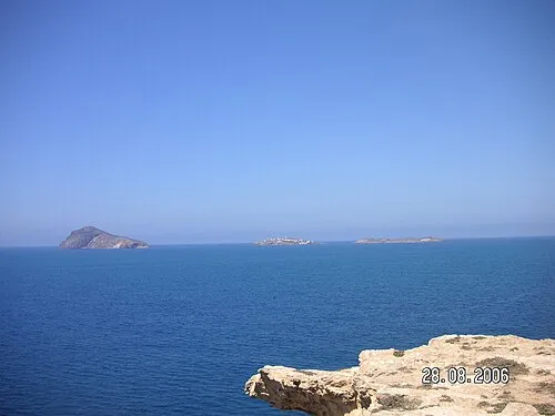 Isla del Rey Island, Spain13 km N
-
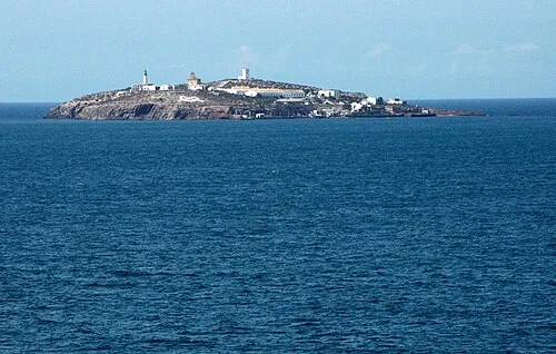 Isabel II Island Island, Spain13 km N
-
Isabel II Island Lighthouse Landmark, Melilla Municipality14 km N
-
Chafarinas Islands Island, Melilla13 km N
-
 Oued Moulouya River, Oriental12 km NE
Other cities and towns in Nador Province
-
Arekmane Municipality, Nador Province24 km W
-
Zaio Municipality, Nador Province30 km SW
-
Oulad Settout Municipality, Nador Province31 km SW
-
Bni Ansar Municipality, Nador Province47 km NW
-
 Ihaddadene Municipality, Nador Province51 km W
-
 Bni Chiker Municipality, Nador Province59 km NW
Sources & licences
Data last updated: · 2 independent sources