Louta
Located in Al-Hoceima, Tanger-Tetouan-Al Hoceima Coordinates: 35°06′26″ N 3°53′57″ W
- Population
- 4,428
- 4.4K
- Elevation
- 248 m
- above sea level
- Local time
- UTC+00:00
- Africa/Casablanca · UTC+00:00
- Airports
- AHU Cherif Al Idrissi Airport9 km
- NDR Nador Al Aaroui International Airport81 km
About Louta
Louta is a municipality. Location: Al-Hoceima, Tanger-Tetouan-Al Hoceima. Population: 4,428. Elevation: 248 m.
Louta is a small town and rural commune in Al Hoceïma Province of the Taza-Al Hoceima-Taounate region of Morocco. At the time of the 2004 census, the commune had a total population of 6,325 people living in 1,035 households.
Source: Wikipedia · CC BY-SA 4.0
Population of Louta over time
| 1994 | 5,500 | |
|---|---|---|
| 2004 | 6,325 | |
| 2014 | 4,428 | |
| 2024 | 4,408 |
Censuses and official estimates; source: Wikidata.
Climate of Louta
Best months for sightseeingBest months for sightseeing: April–May, October–November.
This month · November
A good month to visit
Day 20° · Night 11° · Rain 29 mm
- Hottest month
- August (day 31°)
- Coldest month
- January (night 7°)
- Wettest month
- December (53 mm)
- Driest month
- July (1 mm)
Bars: average monthly low and high temperature. Below: precipitation. Monthly averages for 1970–2000 at about 18 km resolution, adjusted for elevation. Highlighted months are mild and relatively dry. Source: WorldClim 2.1 (CC BY 4.0).
Show values as a table
| Month | Jan | Feb | Mar | Apr | May | Jun | Jul | Aug | Sep | Oct | Nov | Dec |
|---|---|---|---|---|---|---|---|---|---|---|---|---|
| Average high (°C) | 16° | 17° | 19° | 21° | 24° | 28° | 31° | 31° | 28° | 23° | 20° | 17° |
| Average low (°C) | 7° | 8° | 9° | 11° | 13° | 17° | 19° | 20° | 18° | 14° | 11° | 8° |
| Precipitation (mm) | 50 | 50 | 52 | 51 | 33 | 9 | 1 | 4 | 12 | 21 | 29 | 53 |
Other places to visit in this season: April May October November
How to get to Louta
The nearest airport is Cherif Al Idrissi Airport (AHU), 9 km to the northeast as the crow flies. For international flights: Nador Al Aaroui International Airport (NDR) (81 km). The nearest large city is Al Hoceima, 16 km to the north.
Airports
- Cherif Al Idrissi Airport (AHU) Al Hoceima 9 kmnortheast
- Nador Al Aaroui International Airport (NDR) Al Aaroui 81 kmeast
- Melilla Airport (MLN) Melilla 88 kmeast
Nearby large cities
- Al Hoceima Population: 395.6K 16 kmnorth
- Tétouan Population: 415.8K 143 kmwest
- Marbella Population: 156.3K 180 kmnorthwest
- Algeciras Population: 121.4K 181 kmnorthwest
- Ksar El Kebir Population: 138.3K 183 kmwest
Straight-line distances; road distances are longer. Airport data: OurAirports.
Day trips from Louta
Within 100 km: 28 historic and cultural sites, 11 natural sites, 11 lakes, rivers and coasts.
0–25 km7 places
- Isla de Mar Island 12 kmN
- Peñón de Alhucemas Island 12 kmN
- Alhucemas Lighthouse Landmark 12 kmN
- Isla de Tierra Island 12 kmN
25–60 km1 place
- Peñón de Vélez de la Gomera Island 37 kmW
60–100 km42 places
- Koudiet Tirbîrhîne Mountain 64 kmSW
- Playa de San Lorenzo Beach 90 kmE
- Playa de los Cárabos Beach 90 kmE
- Playa de la Hípica Beach 90 kmE
Straight-line distances.
Nearby attractions & nature
Everything nearby-
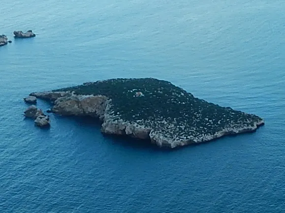 Isla de Tierra Island, Spain12 km N
-
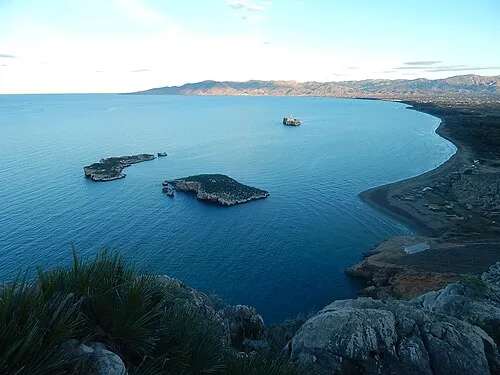 Alhucemas Islands Island, Spain12 km N
-
Alhucemas Lighthouse Landmark, Spain12 km N
-
Peñón de Alhucemas Island, Spain12 km N
-
Isla de Mar Island, Spain12 km N
-
 Al Hoceima National Park Natural site, Al-Hoceima22 km W
-
 Rif Mountain, Tanger-Tetouan-Al Hoceima15 km SW
Other cities and towns in Al-Hoceima
-
 Al Hoceima City, Al-Hoceima16 km N
-
Al Hoceima Municipality, Al-Hoceima15 km N
-
Tifarouine Municipality, Al-Hoceima9.4 km S
-
Imrabten Municipality, Al-Hoceima10 km SW
-
Nekkour Municipality, Al-Hoceima11 km S
-
Ait Kamra Municipality, Al-Hoceima11 km W
Sources & licences
Data last updated: · 2 independent sources