M'Diq-Fnideq
Located in Tanger-Tetouan-Al Hoceima, Morocco Coordinates: 35°51′27″ N 5°21′31″ W

- Population
- 209,897
- 209.9K
- Elevation
- 48 m
- above sea level
- Local time
- UTC+00:00
- Africa/Casablanca · UTC+00:00
- Places inside
- 1
- listed under M'Diq-Fnideq
- Airports
- TTU Sania Ramel Airport29 km
- GIB Gibraltar Airport33 km
About M'Diq-Fnideq
M'Diq-Fnideq is a district. Location: Tanger-Tetouan-Al Hoceima, Morocco. Population: 209,897. The best months to visit are April–June, September–October. The nearest airport is Sania Ramel Airport (29 km). Nearby sights include Playa del Tarajal and Loma el Auyal.
Photos of M'Diq-Fnideq
-
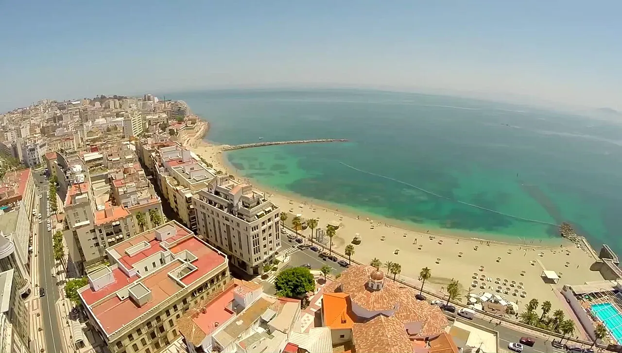
Playa de la Ribera JJ Producciones · CC BY 3.0 -
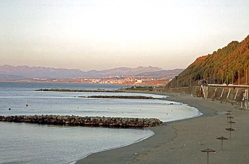
Playa del Chorrillo Dennis G. Jarvis · CC BY-SA 2.0 -
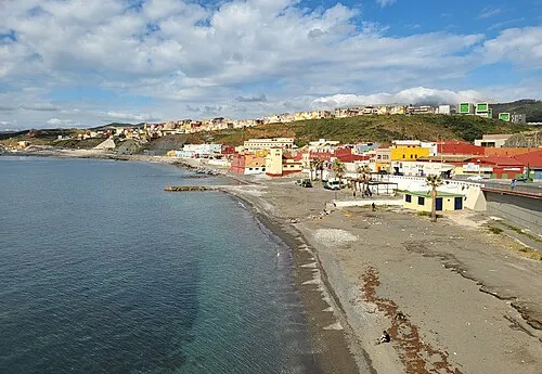
Playa de Tramaguera Xemenendura · CC BY-SA 4.0 -
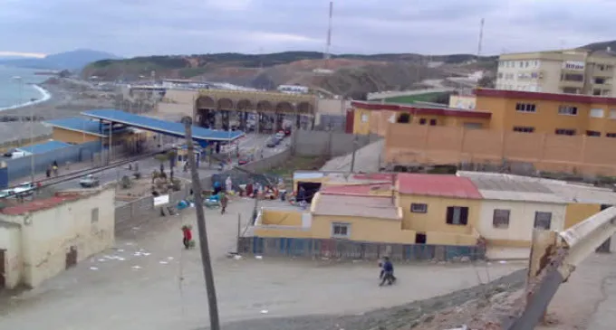
Playa del Tarajal lamarea.com · CC BY-SA 3.0 -
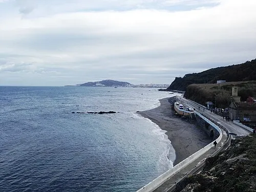
Playa de Calamocarro Thunderbolt u2 · CC BY-SA 4.0


Climate of M'Diq-Fnideq
Best months for sightseeingBest months for sightseeing: April–June, September–October.
This month · November
A wet month
Day 20° · Night 13° · Rain 108 mm
Better nearby cities in November
- Ksar El Kebir · 107 km southwest21°
- Al Hoceima · 145 km southeast20°
- Salé Al Jadida · 242 km southwest21°
- Hottest month
- August (day 29°)
- Coldest month
- January (night 9°)
- Wettest month
- December (138 mm)
- Driest month
- July (1 mm)
Bars: average monthly low and high temperature. Below: precipitation. Monthly averages for 1970–2000 at about 18 km resolution, adjusted for elevation. Highlighted months are mild and relatively dry. Source: WorldClim 2.1 (CC BY 4.0).
Show values as a table
| Month | Jan | Feb | Mar | Apr | May | Jun | Jul | Aug | Sep | Oct | Nov | Dec |
|---|---|---|---|---|---|---|---|---|---|---|---|---|
| Average high (°C) | 16° | 16° | 18° | 20° | 22° | 26° | 29° | 29° | 27° | 23° | 20° | 17° |
| Average low (°C) | 9° | 10° | 11° | 12° | 14° | 18° | 20° | 20° | 19° | 16° | 13° | 11° |
| Precipitation (mm) | 135 | 115 | 105 | 58 | 34 | 7 | 1 | 3 | 16 | 62 | 108 | 138 |
Other places to visit in this season: April May June September October
How to get to M'Diq-Fnideq
The nearest airport is Sania Ramel Airport (TTU), 29 km to the south as the crow flies. The nearest large city is Tétouan, 31 km to the south.
Airports
- Sania Ramel Airport (TTU) Tétouan 29 kmsouth
- Gibraltar Airport (GIB) Gibraltar 33 kmnorth
- Tangier Ibn Battuta Airport (TNG) Tangier 53 kmwest
Nearby large cities
- Tétouan Population: 415.8K 31 kmsouth
- Algeciras Population: 121.4K 32 kmnorth
- Marbella Population: 156.3K 84 kmnortheast
- Ksar El Kebir Population: 138.3K 107 kmsouthwest
- Cadiz Population: 117K 112 kmnorthwest
Straight-line distances; road distances are longer. Airport data: OurAirports.
Day trips from M'Diq-Fnideq
Within 100 km: 177 historic and cultural sites, 141 natural sites, 217 lakes, rivers and coasts.
0–25 km79 places
- Isla de las Palomas Island 24 kmN
- Isla Perejil Island 8 kmNW
- El Islote Island 6 kmN
- Embalse del Renegado Lake 4 kmN
25–60 km155 places
- Jebel Zem Zem Mountain 30 kmSW
- Baie De Tanger Natural site 39 kmW
- Playa de Río Guadiaro Beach 48 kmN
- Cerro del Moral Mountain 42 kmN
60–100 km301 places
- Playa de Zahora Beach 73 kmNW
- Islote de Sancti Petri Island 97 kmNW
- Lagunas de Montellano Lake 93 kmNW
- Laguna de Jeli Lake 92 kmNW
Straight-line distances.
Places in M'Diq-Fnideq
1 place-
M'Diq
Population: 36.6K
Nearby attractions & nature
Everything nearby-
Playa del Tarajal Beach, Ceuta2.1 km NE
-
Loma el Auyal Mountain, Ceuta1.5 km NE
-
Cerro de Mendizábal Mountain, Ceuta2 km N
-
Playa de Tramaguera Beach, Ceuta2.7 km NE
-
Barranco el Cuibas River, Ceuta1.7 km N
-
Torre de Mendizábal Landmark, Ceuta2.2 km N
Other regions in Tanger-Tetouan-Al Hoceima
-
 Tetouan District, Tanger-Tetouan-Al Hoceima33 km SW
-
 Fahs-Anjra District, Tanger-Tetouan-Al Hoceima32 km SW
-
 Tanger-Assilah District, Tanger-Tetouan-Al Hoceima57 km SW
-
 Larache Province District, Tanger-Tetouan-Al Hoceima88 km SW
-
 Chefchaouen Province District, Tanger-Tetouan-Al Hoceima98 km S
-
 Al-Hoceima District, Tanger-Tetouan-Al Hoceima139 km SE
Sources & licences
Data last updated: