Fnidek
Local name: الفنيدق
Located in Tetouan, Tanger-Tetouan-Al Hoceima Coordinates: 35°50′57″ N 5°21′27″ W

- Population
- 84,558
- 84.6K
- Elevation
- 21 m
- above sea level
- Local time
- UTC+00:00
- Africa/Casablanca · UTC+00:00
- Airports
- TTU Sania Ramel Airport28 km
- GIB Gibraltar Airport34 km
About Fnidek
Fnidek is a town. Location: Tetouan, Tanger-Tetouan-Al Hoceima. Population: 84,558. Elevation: 21 m.
Fnideq (Arabic: الفنيدق) is a town in northern Morocco, on the Mediterranean coast of M'diq-Fnideq Prefecture, 31 kilometres (19 mi) north of the city of Tétouan. The town is also known under the Spanish name Castillejos. It is the closest Moroccan urban commune to the Spanish exclave of Ceuta, although the rural commune of Belyounech is closer. During the Hispano-Moroccan War of 1859, it was the location of the decisive Battle of Castillejos.
Source: Wikipedia · CC BY-SA 4.0
Photos of Fnidek
-
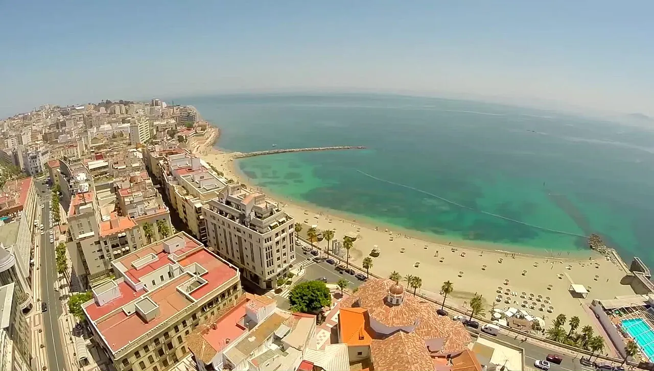
Playa de la Ribera JJ Producciones · CC BY 3.0 -
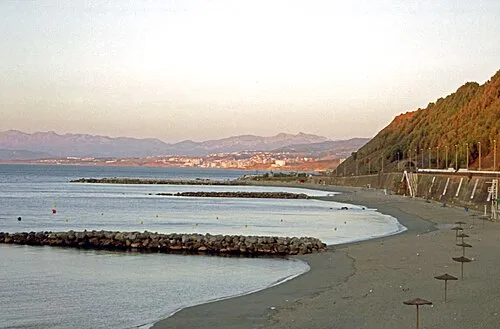
Playa del Chorrillo Dennis G. Jarvis · CC BY-SA 2.0 -
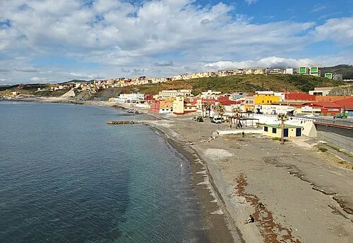
Playa de Tramaguera Xemenendura · CC BY-SA 4.0 -
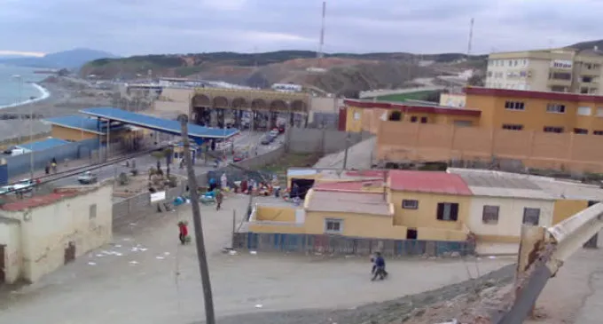
Playa del Tarajal lamarea.com · CC BY-SA 3.0 -
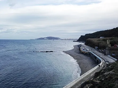
Playa de Calamocarro Thunderbolt u2 · CC BY-SA 4.0


Population of Fnidek over time
| 1994 | 34,486 | |
|---|---|---|
| 2004 | 53,559 | |
| 2014 | 77,436 | |
| 2024 | 77,250 |
Censuses and official estimates; source: Wikidata.
Climate of Fnidek
Best months for sightseeingBest months for sightseeing: April–June, September–October.
This month · November
A wet month
Day 20° · Night 13° · Rain 108 mm
Better nearby cities in November
- Ksar El Kebir · 107 km southwest21°
- Al Hoceima · 145 km southeast20°
- Salé Al Jadida · 241 km southwest21°
- Hottest month
- August (day 29°)
- Coldest month
- January (night 9°)
- Wettest month
- December (138 mm)
- Driest month
- July (1 mm)
Bars: average monthly low and high temperature. Below: precipitation. Monthly averages for 1970–2000 at about 18 km resolution, adjusted for elevation. Highlighted months are mild and relatively dry. Source: WorldClim 2.1 (CC BY 4.0).
Show values as a table
| Month | Jan | Feb | Mar | Apr | May | Jun | Jul | Aug | Sep | Oct | Nov | Dec |
|---|---|---|---|---|---|---|---|---|---|---|---|---|
| Average high (°C) | 16° | 16° | 18° | 20° | 22° | 26° | 29° | 29° | 27° | 23° | 20° | 17° |
| Average low (°C) | 9° | 10° | 11° | 13° | 15° | 18° | 20° | 21° | 19° | 16° | 13° | 11° |
| Precipitation (mm) | 135 | 115 | 105 | 58 | 34 | 7 | 1 | 3 | 16 | 62 | 108 | 138 |
Other places to visit in this season: April May June September October
How to get to Fnidek
The nearest airport is Sania Ramel Airport (TTU), 28 km to the south as the crow flies. The nearest large city is Tétouan, 30 km to the south.
Airports
- Sania Ramel Airport (TTU) Tétouan 28 kmsouth
- Gibraltar Airport (GIB) Gibraltar 34 kmnorth
- Tangier Ibn Battuta Airport (TNG) Tangier 53 kmwest
Nearby large cities
- Tétouan Population: 415.8K 30 kmsouth
- Algeciras Population: 121.4K 33 kmnorth
- Marbella Population: 156.3K 85 kmnortheast
- Ksar El Kebir Population: 138.3K 106 kmsouthwest
- Cadiz Population: 117K 113 kmnorthwest
Straight-line distances; road distances are longer. Airport data: OurAirports.
Day trips from Fnidek
Within 100 km: 163 historic and cultural sites, 139 natural sites, 214 lakes, rivers and coasts.
0–25 km76 places
- Isla Perejil Island 9 kmNW
- El Islote Island 7 kmN
- Embalse del Renegado Lake 5 kmN
- Embalse del Infierno Lake 5 kmN
25–60 km156 places
- Jebel Zem Zem Mountain 30 kmSW
- Baie De Tanger Natural site 39 kmW
- Playa de Río Guadiaro Beach 49 kmN
- Cerro del Moral Mountain 43 kmN
60–100 km284 places
- Playa de Zahora Beach 73 kmNW
- Islote de Sancti Petri Island 97 kmNW
- Lagunas de Montellano Lake 93 kmNW
- Laguna de Jeli Lake 93 kmNW
Straight-line distances.
Fnidek and similar cities
Side by side with cities of similar size in the same country: population, elevation and climate.
| Measure | Fnidek | Tan-Tan | Ouarzazate | El Kelaa des Srarhna |
|---|---|---|---|---|
| Population | 84.6K | 79.9K | 77.6K | 104K |
| Elevation | 21 m | 45 m | 1,113 m | 471 m |
| Summer day (hottest month) | 29° | 30° | 38° | 35° |
| Winter night (coldest month) | 9° | 10° | 2° | 5° |
| Annual rainfall | 782 mm | 79 mm | 170 mm | 280 mm |
| Best months | Apr–Jun, Sep–Oct | Nov–May | Feb–Apr, Oct–Nov | Mar–May, Oct–Nov |
| Distance | — | 984 km | 565 km | 462 km |
Climate values are 1970–2000 monthly averages; straight-line distance.
Nearby attractions & nature
Everything nearby-
Playa del Tarajal Beach, Ceuta2.8 km NE
-
Loma el Auyal Mountain, Ceuta2.4 km N
-
Playa de Tramaguera Beach, Ceuta3.5 km NE
-
Cerro de Mendizábal Mountain, Ceuta2.9 km N
-
Barranco el Cuibas River, Ceuta2.7 km N
-
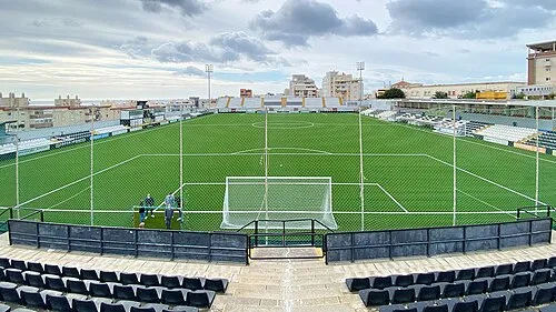 Estadio Alfonso Murube Landmark, Ceuta4.8 km NE
-
Arroyo de las Bombas River, Ceuta2.7 km NE
-
Torre de Mendizábal Landmark, Ceuta3.1 km N
Other cities and towns in Tetouan


Sources & licences
Data last updated: · 2 independent sources