Sobibór Extermination Camp
Local name: Das Vernichtungslager Sobibor
Located in Włodawa, Włodawa County Coordinates: 51°26′49″ N 23°35′41″ E
- Local time
- UTC+01:00
- Europe/Warsaw · UTC+01:00
- Elevation
- 175 m
- above sea level
- Airports
- LUZ Lublin Airport66 km
- BQT Brest International Airport76 km
About Sobibór Extermination Camp
Sobibór Extermination Camp is a historic site. Location: Włodawa, Włodawa County.
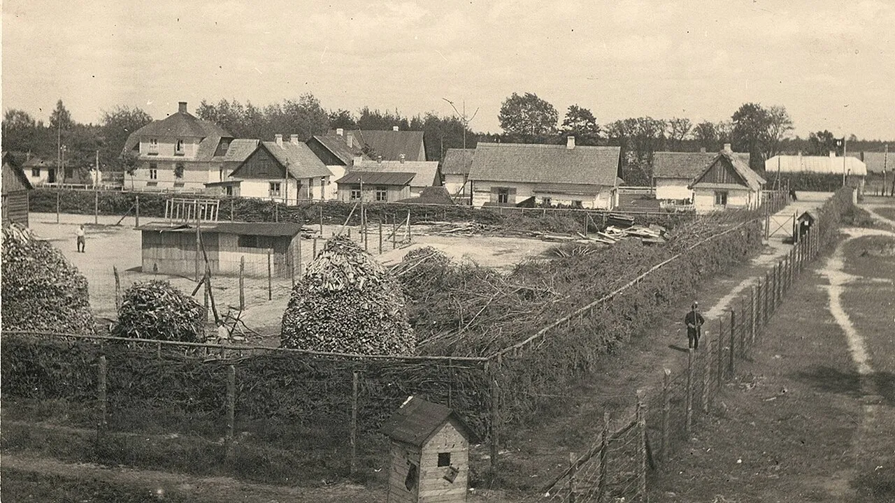
Sobibor ( SOH-bi-bor; Polish: Sobibór [sɔˈbibur]; German: [ˈzoːbibɔʁ]) was an extermination camp built and operated by Nazi Germany as part of Operation Reinhard. It was located in the forest near the village of Żłobek Duży in the General Government region of German-occupied Poland. As an extermination camp rather than a concentration camp, Sobibor existed for the sole purpose of murdering Jews. The vast majority of prisoners were gassed within hours of arrival.
Source: Wikipedia · CC BY-SA 4.0
At a glance
- Opened
- 1942
Source: Wikidata
Photos of Sobibór Extermination Camp
-

Dr. med. Detlef Bihn · CC BY-SA 4.0 -

Hajog · CC BY-SA 4.0 -

Hajog · CC BY-SA 4.0 -

duma.gov.ru · CC BY 4.0 -

Emmanuel DYAN from Paris, France · CC BY 2.0


Climate of Sobibór Extermination Camp
Best months for sightseeingBest months for sightseeing: June–August.
This month · November
A cold month
Day 5° · Night -1° · Rain 35 mm
- Hottest month
- July (day 23°)
- Coldest month
- January (night -6°)
- Wettest month
- July (78 mm)
- Driest month
- February (23 mm)
Bars: average monthly low and high temperature. Below: precipitation. Monthly averages for 1970–2000 at about 18 km resolution, adjusted for elevation. Highlighted months are mild and relatively dry. Source: WorldClim 2.1 (CC BY 4.0).
Show values as a table
| Month | Jan | Feb | Mar | Apr | May | Jun | Jul | Aug | Sep | Oct | Nov | Dec |
|---|---|---|---|---|---|---|---|---|---|---|---|---|
| Average high (°C) | -1° | 1° | 6° | 13° | 19° | 22° | 23° | 23° | 17° | 12° | 5° | 1° |
| Average low (°C) | -6° | -5° | -2° | 3° | 8° | 11° | 12° | 12° | 8° | 4° | -1° | -4° |
| Precipitation (mm) | 26 | 23 | 27 | 39 | 54 | 70 | 78 | 58 | 55 | 38 | 35 | 33 |
How to get to Sobibór Extermination Camp
The nearest airport is Lublin Airport (LUZ), 66 km to the west as the crow flies. The nearest large city is Košice, 347 km to the southwest.
Airports
- Lublin Airport (LUZ) Lublin 66 kmwest
- Brest International Airport (BQT) Brest 76 kmnorth
- Warsaw Radom Airport (RDO) Radom 166 kmwest
Nearby large cities
- Košice Population: 225K 347 kmsouthwest
- Vilnius Population: 542.4K 378 kmnorth
- Kaunas Population: 289.4K 385 kmnorth
Straight-line distances; road distances are longer. Airport data: OurAirports.
Day trips from Sobibór Extermination Camp
Within 100 km: 41 historic and cultural sites, 1 natural site.
0–25 km1 place
- Włodawa Ghetto Historic site 12 kmN
25–60 km17 places
- Wisznice Ghetto Historic site 47 kmNW
- Sławatycze Ghetto Historic site 35 kmN
- Piszczac Ghetto Historic site 60 kmN
- Ostrów Ghetto Historic site 52 kmW
60–100 km24 places
- Adamów Ghetto Historic site 97 kmW
- Radzyń Ghetto Historic site 77 kmNW
- Komarów Ghetto Historic site 93 kmS
- Zamość Ghetto Historic site 85 kmS
Straight-line distances.
Nearest towns and villages
-
Sobibór Village, Włodawa4.5 km NE
-
Zbereże Village, Gmina Wola Uhruska7.9 km SE
-
Włodawa Municipality, Włodawa County11 km N
-
Gmina Wola Uhruska Municipality, Włodawa County11 km S
Sources & licences
Data last updated: · 2 independent sources