- Population
- 17,075
- 17.1K
- Elevation
- 113 m
- above sea level
- Local time
- UTC+01:00
- Europe/Warsaw · UTC+01:00
- Airports
- RDO Warsaw Radom Airport32 km
- WAW Warsaw Chopin Airport76 km
About Kozienice
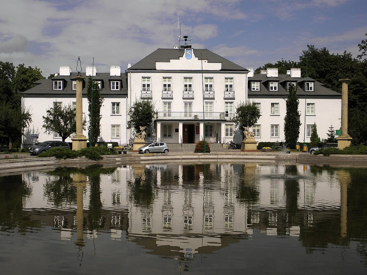
Kozienice is a town. Location: Gmina Kozienice, Kozienice County. Population: 17,075. Elevation: 113 m.
Kozienice (Polish pronunciation: [kɔʑɛˈɲit͡sɛ] ; Yiddish: קאזשניץ Kozhnits) is a town in eastern Poland with 21,500 inhabitants (1995). Located four miles from the Vistula, it is the capital of Kozienice County. Even though Kozienice is part of Lesser Poland, it is situated in the Masovian Voivodeship (since 1999); previously, it was in Radom Voivodeship (1975–1998) and in Kielce Voivodeship (1919–1939, 1945–1975).
Source: Wikipedia · CC BY-SA 4.0
Photos of Kozienice
-

AdPZ1960 · CC BY-SA 4.0 -

Zywul · CC BY-SA 4.0 -

MOs810 · CC BY-SA 4.0 -

MOs810 · CC BY-SA 4.0 -

434841c1 · CC0


Climate of Kozienice
Best months for sightseeingBest months for sightseeing: May–August.
This month · November
A cold month
Day 6° · Night 1° · Rain 34 mm
- Hottest month
- July (day 24°)
- Coldest month
- January (night -5°)
- Wettest month
- July (71 mm)
- Driest month
- February (22 mm)
Bars: average monthly low and high temperature. Below: precipitation. Monthly averages for 1970–2000 at about 18 km resolution, adjusted for elevation. Highlighted months are mild and relatively dry. Source: WorldClim 2.1 (CC BY 4.0).
Show values as a table
| Month | Jan | Feb | Mar | Apr | May | Jun | Jul | Aug | Sep | Oct | Nov | Dec |
|---|---|---|---|---|---|---|---|---|---|---|---|---|
| Average high (°C) | 0° | 2° | 7° | 13° | 20° | 22° | 24° | 24° | 18° | 12° | 6° | 2° |
| Average low (°C) | -5° | -4° | -1° | 4° | 9° | 12° | 13° | 13° | 9° | 4° | 1° | -3° |
| Precipitation (mm) | 24 | 22 | 27 | 34 | 51 | 66 | 71 | 60 | 50 | 37 | 34 | 32 |
How to get to Kozienice
The nearest airport is Warsaw Radom Airport (RDO), 32 km to the southwest as the crow flies. For international flights: Warsaw Chopin Airport (WAW) (76 km). The nearest large city is Košice, 320 km to the south.
Airports
- Warsaw Radom Airport (RDO) Radom 32 kmsouthwest
- Warsaw Chopin Airport (WAW) Warsaw 76 kmnorthwest
- Lublin Airport (LUZ) Lublin 90 kmsoutheast
Nearby large cities
- Košice Population: 225K 320 kmsouth
- Miskolc Population: 154.5K 391 kmsouth
Straight-line distances; road distances are longer. Airport data: OurAirports.
Day trips from Kozienice
Within 100 km: 111 historic and cultural sites, 17 natural sites.
0–25 km8 places
- Maciejowice Ghetto Historic site 13 kmN
- Magnuszew Ghetto Historic site 23 kmNW
- Sobolew Ghetto Historic site 19 kmNE
- Ryczywół Ghetto Historic site 14 kmNW
25–60 km36 places
- Markuszów Ghetto Historic site 55 kmSE
- Michów Ghetto Historic site 52 kmE
- Sobienie-Jeziory Ghetto Historic site 42 kmN
- Solec nad Wisłą Ghetto Historic site 52 kmS
60–100 km84 places
- Góra Miejska Mountain 84 kmSW
- Pasmo Masłowskie Mountain 93 kmSW
- Łysogóry Mountain 88 kmSW
- Wysokówka Mountain 98 kmSW
Straight-line distances.
Nearby attractions & nature
Everything nearby-
Kozienice Ghetto Historic site, Gmina Kozienice1.3 km E
-
Ryczywół Ghetto Historic site, Gmina Kozienice14 km NW
-
Garbatka Ghetto Historic site, Gmina Garbatka-Letnisko13 km SE
-
Maciejowice Ghetto Historic site, Gmina Maciejowice13 km N
-
Sobolew Ghetto Historic site, Gmina Sobolew19 km NE
-
Magnuszew Ghetto Historic site, Gmina Magnuszew23 km NW
-
Gniewoszów Ghetto Historic site, Gmina Gniewoszów22 km SE
-
Łaskarzew Ghetto Historic site, Łaskarzew24 km N
Sources & licences
Data last updated: · 2 independent sources