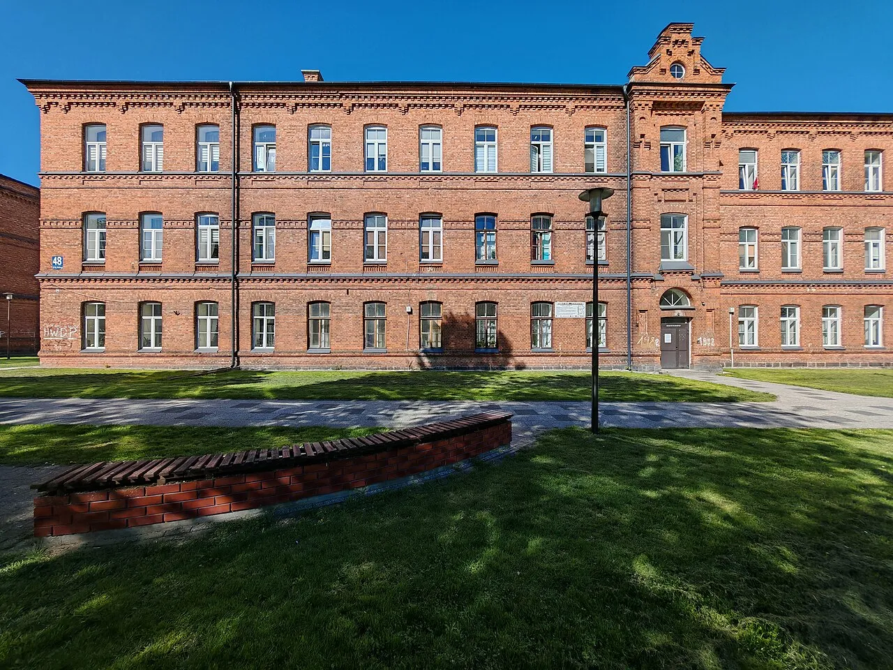
- Population
- 22,857
- 22.9K
- Elevation
- 125 m
- above sea level
- Local time
- UTC+01:00
- Europe/Warsaw · UTC+01:00
- Airports
- SZY Olsztyn-Mazury Airport103 km
- WMI Warsaw Modlin Airport123 km
About Zambrów
Zambrów is a town. Location: Zambrów, Zambrów County. Population: 22,857. Elevation: 125 m.
Zambrów [ˈzambruf] is a town in northeastern Poland with 21,166 inhabitants (2020). It is the capital of Zambrów County in the Podlaskie Voivodeship. It is situated on the Jabłonka River. Founded in the Middle Ages, Zambrów is a former royal town of Poland, which prospered as a center of trade and brewing. Before World War II, it was the location of a Polish military school, and until the mid-20th century, it was a garrison town of the Polish Army.
Source: Wikipedia · CC BY-SA 4.0
Photos of Zambrów
-

Współczesny Sokrates · CC0 -

Pawełdzienis · CC BY 4.0 -

Pawełdzienis · CC BY-SA 4.0


Climate of Zambrów
Best months for sightseeingBest months for sightseeing: May–August.
This month · November
A cold month
Day 5° · Night -1° · Rain 36 mm
- Hottest month
- July (day 23°)
- Coldest month
- January (night -6°)
- Wettest month
- July (73 mm)
- Driest month
- February (22 mm)
Bars: average monthly low and high temperature. Below: precipitation. Monthly averages for 1970–2000 at about 18 km resolution, adjusted for elevation. Highlighted months are mild and relatively dry. Source: WorldClim 2.1 (CC BY 4.0).
Show values as a table
| Month | Jan | Feb | Mar | Apr | May | Jun | Jul | Aug | Sep | Oct | Nov | Dec |
|---|---|---|---|---|---|---|---|---|---|---|---|---|
| Average high (°C) | -1° | 0° | 5° | 13° | 19° | 22° | 23° | 23° | 18° | 12° | 5° | 1° |
| Average low (°C) | -6° | -6° | -2° | 3° | 8° | 11° | 12° | 12° | 8° | 4° | -1° | -4° |
| Precipitation (mm) | 27 | 22 | 27 | 33 | 49 | 68 | 73 | 61 | 50 | 39 | 36 | 35 |
How to get to Zambrów
The nearest airport is Olsztyn-Mazury Airport (SZY), 103 km to the northwest as the crow flies. For international flights: Warsaw Modlin Airport (WMI) (123 km). The nearest large city is Kaunas, 240 km to the northeast.
Airports
- Olsztyn-Mazury Airport (SZY) Szymany 103 kmnorthwest
- Warsaw Modlin Airport (WMI) Nowy Dwór Mazowiecki 123 kmsouthwest
- Warsaw Chopin Airport (WAW) Warsaw 126 kmsouthwest
Nearby large cities
- Kaunas Population: 289.4K 240 kmnortheast
- Vilnius Population: 542.4K 275 kmnortheast
- Klaipėda Population: 172.3K 311 kmnorth
Straight-line distances; road distances are longer. Airport data: OurAirports.
Day trips from Zambrów
Within 100 km: 50 historic and cultural sites, 7 natural sites.
0–25 km5 places
- Debowe Góry Mountain 15 kmNW
- Wysokie Mazowieckie Ghetto Historic site 20 kmSE
- Zambrów Ghetto Historic site 1 kmSE
- Czyżewo Ghetto Historic site 21 kmS
25–60 km10 places
- Treblinka Extermination Camp Historic site 41 kmS
- Brańsk Ghetto Historic site 50 kmSE
- Ciechanowiec Ghetto Historic site 40 kmSE
- Kosów Ghetto Historic site 45 kmS
60–100 km42 places
- Siedlce Ghetto Historic site 91 kmS
- Łosice Ghetto Historic site 91 kmS
- Mordy Ghetto Historic site 88 kmS
- Sarnaki Ghetto Historic site 86 kmSE
Straight-line distances.
Nearby attractions & nature
Everything nearby-
Zambrów Ghetto Historic site, Zambrów0.5 km SE
-
Debowe Góry Mountain, Podlasie Voivodship15 km NW
-
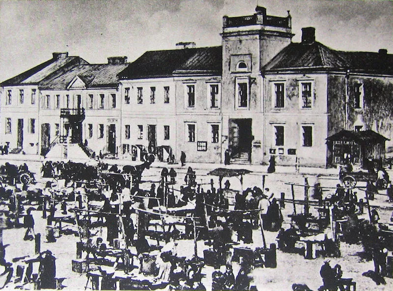 Łomża Ghetto Historic site, Łomża24 km NW
-
Czyżewo Ghetto Historic site, Czyżew21 km S
-
Wysokie Mazowieckie Ghetto Historic site, Wysokie Mazowieckie20 km SE
Sources & licences
Data last updated: · 2 independent sources