- Population
- 13,769
- 13.8K
- Elevation
- 169 m
- above sea level
- Local time
- UTC+01:00
- Europe/Warsaw · UTC+01:00
- Airports
- KGD Khrabrovo Airport128 km
- SZY Olsztyn-Mazury Airport128 km
About Gołdap
Gołdap is a town. Location: Gmina Gołdap, Gołdap County. Population: 13,769. Elevation: 169 m. The best months to visit are May–August. The nearest airport is Khrabrovo Airport (128 km). Nearby sights include Audyniskie Góra and Szeska Góra.
Climate of Gołdap
Best months for sightseeingBest months for sightseeing: May–August.
This month · November
A cold month
Day 4° · Night -1° · Rain 51 mm
- Hottest month
- July (day 22°)
- Coldest month
- January (night -6°)
- Wettest month
- July (81 mm)
- Driest month
- February (28 mm)
Bars: average monthly low and high temperature. Below: precipitation. Monthly averages for 1970–2000 at about 18 km resolution, adjusted for elevation. Highlighted months are mild and relatively dry. Source: WorldClim 2.1 (CC BY 4.0).
Show values as a table
| Month | Jan | Feb | Mar | Apr | May | Jun | Jul | Aug | Sep | Oct | Nov | Dec |
|---|---|---|---|---|---|---|---|---|---|---|---|---|
| Average high (°C) | -2° | -1° | 4° | 11° | 18° | 20° | 22° | 22° | 16° | 11° | 4° | 0° |
| Average low (°C) | -6° | -6° | -3° | 2° | 7° | 10° | 12° | 11° | 8° | 4° | -1° | -4° |
| Precipitation (mm) | 37 | 28 | 35 | 37 | 53 | 73 | 81 | 70 | 57 | 51 | 51 | 45 |
How to get to Gołdap
The nearest airport is Khrabrovo Airport (KGD), 128 km to the northwest as the crow flies. The nearest large city is Kaunas, 123 km to the northeast.
Airports
- Khrabrovo Airport (KGD) Kaliningrad 128 kmnorthwest
- Olsztyn-Mazury Airport (SZY) Szymany 128 kmsouthwest
- Kaunas International Airport (KUN) Kaunas 136 kmnortheast
Nearby large cities
- Kaunas Population: 289.4K 123 kmnortheast
- Klaipėda Population: 172.3K 173 kmnorthwest
- Vilnius Population: 542.4K 197 kmeast
- Riga Population: 742.6K 315 kmnorth
Straight-line distances; road distances are longer. Airport data: OurAirports.
Day trips from Gołdap
Within 100 km: 8 historic and cultural sites, 8 natural sites, 10 lakes, rivers and coasts.
0–25 km3 places
- Audyniskie Góra Mountain 11 kmW
- Szeska Góra Mountain 14 kmS
- Piłaki Mountain 24 kmSW
25–60 km6 places
- Vištyčio ežeras Lake 31 kmNE
- Lepona River 50 kmNE
- Paproteckie Góry Mountain 55 kmSW
- Góra Leszczynowa Mountain 33 kmE
60–100 km17 places
- Góra Jelonka Mountain 73 kmS
- Augustów Ghetto Historic site 68 kmSE
- Dąbrowa Ghetto Historic site 99 kmSE
- Grajewo Ghetto Historic site 74 kmS
Straight-line distances.
Nearby attractions & nature
Everything nearby-
Audyniskie Góra Mountain, Gmina Banie Mazurskie11 km W
-
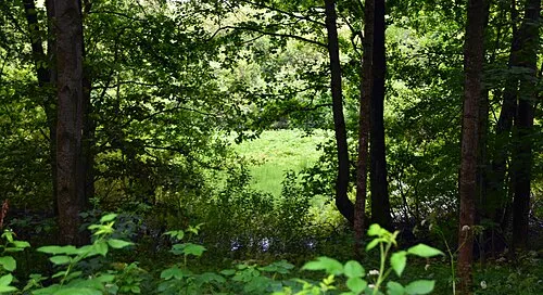 Szeska Góra Mountain, Kowale Oleckie14 km S
-
Piłaki Mountain, Warmian-Masurian Voivodeship24 km SW
Sources & licences
Data last updated: