Fonte do Bastardo
Located in Praia da Vitória Municipality, Azores Coordinates: 38°41′39″ N 27°05′24″ W
- Population
- 1,278
- 1.3K
- Elevation
- 203 m
- above sea level
- Local time
- UTC−01:00
- Atlantic/Azores · UTC−01:00
- Places inside
- 1
- listed under Fonte do Bastardo
- Airports
- TER Lajes Airport7 km
- GRW Graciosa Airport93 km
About Fonte do Bastardo
Fonte do Bastardo is a municipality. Location: Praia da Vitória Municipality, Azores. Population: 1,278. Elevation: 203 m. The best months to visit are May–July, October. The nearest airport is Lajes Airport (7 km). Nearby sights include Serra do Cume and Forte de São Fernando.
Photos of Fonte do Bastardo
-
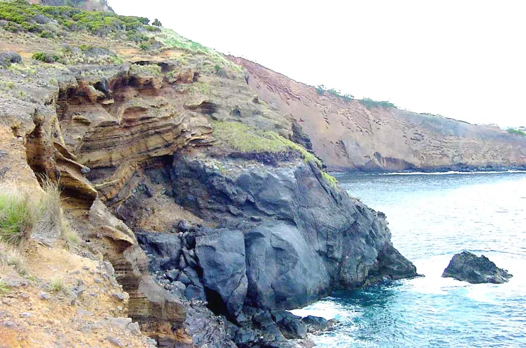
Contendas José Luís Ávila Silveira/Pedro Noronha e Costa 18:46, 18 July 2007 · Public domain -
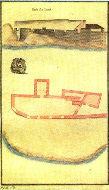
Forte da Greta Unknown author Unknown author · Public domain -
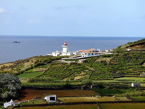
Ponta das Contendas Lighthouse Carlos Luis M C da Cruz · Public domain


Climate of Fonte do Bastardo
Best months for sightseeingBest months for sightseeing: May–July, October.
This month · November
A wet month
Day 21° · Night 15° · Rain 133 mm
- Hottest month
- August (day 27°)
- Coldest month
- February (night 13°)
- Wettest month
- December (140 mm)
- Driest month
- July (41 mm)
Bars: average monthly low and high temperature. Below: precipitation. Monthly averages for 1970–2000 at about 18 km resolution, adjusted for elevation. Highlighted months are mild and relatively dry. Source: WorldClim 2.1 (CC BY 4.0).
Show values as a table
| Month | Jan | Feb | Mar | Apr | May | Jun | Jul | Aug | Sep | Oct | Nov | Dec |
|---|---|---|---|---|---|---|---|---|---|---|---|---|
| Average high (°C) | 18° | 18° | 18° | 19° | 21° | 23° | 26° | 27° | 26° | 23° | 21° | 19° |
| Average low (°C) | 13° | 13° | 13° | 14° | 15° | 17° | 19° | 20° | 19° | 17° | 15° | 14° |
| Precipitation (mm) | 138 | 111 | 100 | 78 | 70 | 51 | 41 | 61 | 98 | 120 | 133 | 140 |
How to get to Fonte do Bastardo
The nearest airport is Lajes Airport (TER), 7 km to the north as the crow flies.
Airports
- Lajes Airport (TER) Praia da Vitória 7 kmnorth
- Graciosa Airport (GRW) Santa Cruz da Graciosa 93 kmnorthwest
- São Jorge Airport (SJZ) Velas 95 kmwest
Straight-line distances; road distances are longer. Airport data: OurAirports.
Day trips from Fonte do Bastardo
Within 100 km: 4 historic and cultural sites, 39 natural sites.
0–25 km11 places
- Pico Rachado Mountain 21 kmW
- Pico Alto Mountain 13 kmNW
- Contendas Mountain 5 kmS
- Pico do Malhão Mountain 7 kmW
60–100 km32 places
- Serra das Fontes Mountain 88 kmNW
- Serra da Dormida Mountain 89 kmNW
- Facho Mountain 89 kmNW
- Pico do Carvão Mountain 87 kmW
Straight-line distances.
Places in Fonte do Bastardo
1 placeBar: population relative to the most populous place in this list.
Nearby attractions & nature
Everything nearby-
Serra do Cume Mountain, Azores2.4 km W
-
Forte de São Fernando Historic site, Porto Martins3 km SE
-
Contendas Mountain, Vila de São Sebastião4.9 km S
-
Ponta das Contendas Lighthouse Landmark, Vila de São Sebastião5.6 km S
-
Forte da Greta Historic site, Vila de São Sebastião5.7 km S
-
Pico do Malhão Mountain, Porto Judeu6.7 km W
-
Serra do Morião Mountain, Azores9.6 km W
-
Pico Agudo Mountain, Quatro Ribeiras12 km W
Other cities and towns in Praia da Vitória Municipality
-
Fontinhas Municipality, Praia da Vitória Municipality5.5 km NW
-
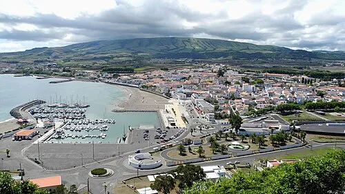 Praia da Vitória Town, Praia da Vitória (Santa Cruz)4.8 km NE
-
Lajes Municipality, Praia da Vitória Municipality8.1 km N
-
São Brás Municipality, Praia da Vitória Municipality8.1 km NW
-
 Quatro Ribeiras Municipality, Praia da Vitória Municipality14 km NW
-
Agualva Municipality, Praia da Vitória Municipality10 km NW
Sources & licences
Data last updated: