Armação de Pêra
Located in Silves Municipality, Faro District Coordinates: 37°06′57″ N 8°21′53″ W
- Population
- 6,003
- 6K
- Elevation
- 51 m
- above sea level
- Local time
- UTC+00:00
- Europe/Lisbon · UTC+00:00
- Places inside
- 1
- listed under Armação de Pêra
- Airports
- PRM Portimão Airport20 km
- FAO Faro - Gago Coutinho International Airport37 km
About Armação de Pêra
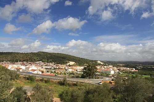
Armação de Pêra is a municipality. Location: Silves Municipality, Faro District. Population: 6,003. Elevation: 51 m. The best months to visit are April–June, September–October. The nearest airport is Portimão Airport (20 km). Nearby sights include Fort of Nossa Senhora da Rocha and Praia da Marinha.
Climate of Armação de Pêra
Best months for sightseeingBest months for sightseeing: April–June, September–October.
This month · November
Outside the best season
Day 19° · Night 11° · Rain 80 mm
- Hottest month
- July (day 28°)
- Coldest month
- January (night 8°)
- Wettest month
- December (98 mm)
- Driest month
- July (1 mm)
Bars: average monthly low and high temperature. Below: precipitation. Monthly averages for 1970–2000 at about 18 km resolution, adjusted for elevation. Highlighted months are mild and relatively dry. Source: WorldClim 2.1 (CC BY 4.0).
Show values as a table
| Month | Jan | Feb | Mar | Apr | May | Jun | Jul | Aug | Sep | Oct | Nov | Dec |
|---|---|---|---|---|---|---|---|---|---|---|---|---|
| Average high (°C) | 16° | 16° | 18° | 20° | 22° | 26° | 28° | 28° | 26° | 23° | 19° | 17° |
| Average low (°C) | 8° | 8° | 10° | 11° | 13° | 16° | 17° | 18° | 17° | 14° | 11° | 9° |
| Precipitation (mm) | 75 | 61 | 44 | 44 | 26 | 11 | 1 | 3 | 17 | 56 | 80 | 98 |
Other places to visit in this season: April May June September October
How to get to Armação de Pêra
The nearest airport is Portimão Airport (PRM), 20 km to the west as the crow flies. For international flights: Faro - Gago Coutinho International Airport (FAO) (37 km). The nearest large city is Huelva, 128 km to the east.
Airports
- Portimão Airport (PRM) Portimão 20 kmwest
- Faro - Gago Coutinho International Airport (FAO) Faro 37 kmeast
- Lisbon Humberto Delgado Airport (LIS) Lisbon 197 kmnorth
Nearby large cities
- Huelva Population: 144.3K 128 kmeast
- Setúbal Population: 118.2K 163 kmnorth
- Lisbon Population: 517.8K 191 kmnorth
- Cadiz Population: 117K 196 kmeast
- Jerez de la Frontera Population: 212.9K 204 kmeast
Straight-line distances; road distances are longer. Airport data: OurAirports.
Day trips from Armação de Pêra
Within 100 km: 62 historic and cultural sites, 32 natural sites, 27 lakes, rivers and coasts.
0–25 km10 places
- Praia da Marinha Beach 5 kmSW
- Praia do Evaristo Beach 7 kmSE
- Cabo Carvoeiro Natural site 7 kmSW
- Roman ruins of Cerro da Vila Historic site 22 kmE
25–60 km32 places
- Serro de Monte Figo Mountain 46 kmE
- Cerro da Vegueira Mountain 28 kmNE
- Serra do Espinhaço de Cão Mountain 38 kmNW
- Cabeça Gorda Mountain 27 kmN
60–100 km79 places
- Playa Isla Cristina Beach 93 kmE
- Teatro Municipal Horacio Noguera Attraction 93 kmE
- Playa Giralda Beach 95 kmE
- Playa de Caiman Beach 92 kmE
Straight-line distances.
Places in Armação de Pêra
1 placeBar: population relative to the most populous place in this list.
Nearby attractions & nature
Everything nearby-
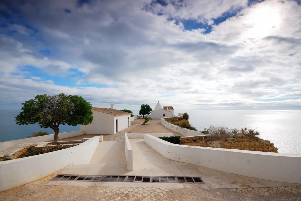 Fort of Nossa Senhora da Rocha Historic site, Faro District2.9 km SW
-
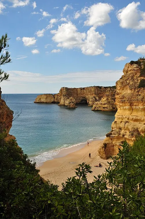 Praia da Marinha Beach, União das freguesias de Lagoa e Carvoeiro5.1 km SW
-
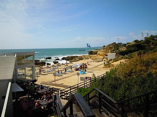 Praia do Evaristo Beach, Albufeira e Olhos de Água7.2 km SE
-
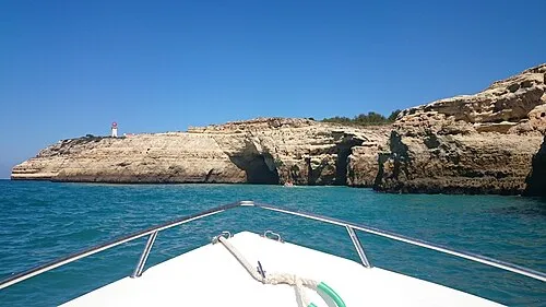 Cabo Carvoeiro Natural site, União das freguesias de Lagoa e Carvoeiro7.2 km SW
-
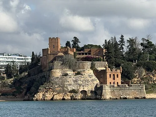 Fort of São João do Arade Historic site, Ferragudo14 km W
-
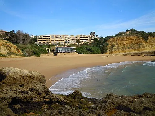 Praia dos Aveiros Beach, Albufeira e Olhos de Água12 km E
-
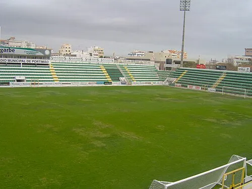 Estádio Municipal de Portimão Landmark, Portimão16 km W
-
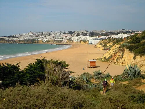 Praia dos Alemães Beach, Faro District12 km E
Other cities and towns in Silves Municipality
-
Algoz Municipality, Silves Municipality9.4 km NE
-
Tunes Municipality, Silves Municipality11 km NE
-
Silves Municipality, Silves Municipality14 km NW
-
Tunes Town, Tunes11 km NE
-
São Bartolomeu de Messines Municipality, Silves Municipality20 km N
-
 São Bartolomeu de Messines Town, São Bartolomeu de Messines17 km NE
Sources & licences
Data last updated: