Milharado
Located in Mafra Municipality, Lisbon District Coordinates: 38°56′35″ N 9°13′14″ W
- Population
- 7,645
- 7.6K
- Elevation
- 196 m
- above sea level
- Local time
- UTC+00:00
- Europe/Lisbon · UTC+00:00
- Places inside
- 1
- listed under Milharado
- Airports
- LIS Lisbon Humberto Delgado Airport19 km
- CAT Cascais Airport27 km
About Milharado
Milharado is a municipality. Location: Mafra Municipality, Lisbon District. Population: 7,645. Elevation: 196 m. The best months to visit are June–September. The nearest airport is Lisbon Humberto Delgado Airport (19 km). Nearby sights include Atalaia and Três Cabeços.
Climate of Milharado
Best months for sightseeingBest months for sightseeing: June–September.
This month · November
A wet month
Day 17° · Night 11° · Rain 105 mm
- Hottest month
- August (day 26°)
- Coldest month
- January (night 7°)
- Wettest month
- December (115 mm)
- Driest month
- July (7 mm)
Bars: average monthly low and high temperature. Below: precipitation. Monthly averages for 1970–2000 at about 18 km resolution, adjusted for elevation. Highlighted months are mild and relatively dry. Source: WorldClim 2.1 (CC BY 4.0).
Show values as a table
| Month | Jan | Feb | Mar | Apr | May | Jun | Jul | Aug | Sep | Oct | Nov | Dec |
|---|---|---|---|---|---|---|---|---|---|---|---|---|
| Average high (°C) | 14° | 15° | 17° | 17° | 20° | 23° | 25° | 26° | 24° | 21° | 17° | 14° |
| Average low (°C) | 7° | 8° | 9° | 10° | 12° | 15° | 16° | 16° | 16° | 13° | 11° | 9° |
| Precipitation (mm) | 105 | 87 | 53 | 65 | 59 | 22 | 7 | 8 | 29 | 82 | 105 | 115 |
Other places to visit in this season: June July August September
How to get to Milharado
The nearest airport is Lisbon Humberto Delgado Airport (LIS), 19 km to the south as the crow flies. The nearest large city is Lisbon, 25 km to the south.
Airports
- Lisbon Humberto Delgado Airport (LIS) Lisbon 19 kmsouth
- Cascais Airport (CAT) Cascais 27 kmsouthwest
- Portimão Airport (PRM) Portimão 207 kmsouth
Nearby large cities
- Lisbon Population: 517.8K 25 kmsouth
- Setúbal Population: 118.2K 55 kmsoutheast
- Badajoz Population: 150.5K 195 kmeast
- Porto Population: 252.7K 250 kmnorth
- Huelva Population: 144.3K 273 kmsoutheast
Straight-line distances; road distances are longer. Airport data: OurAirports.
Places in Milharado
1 place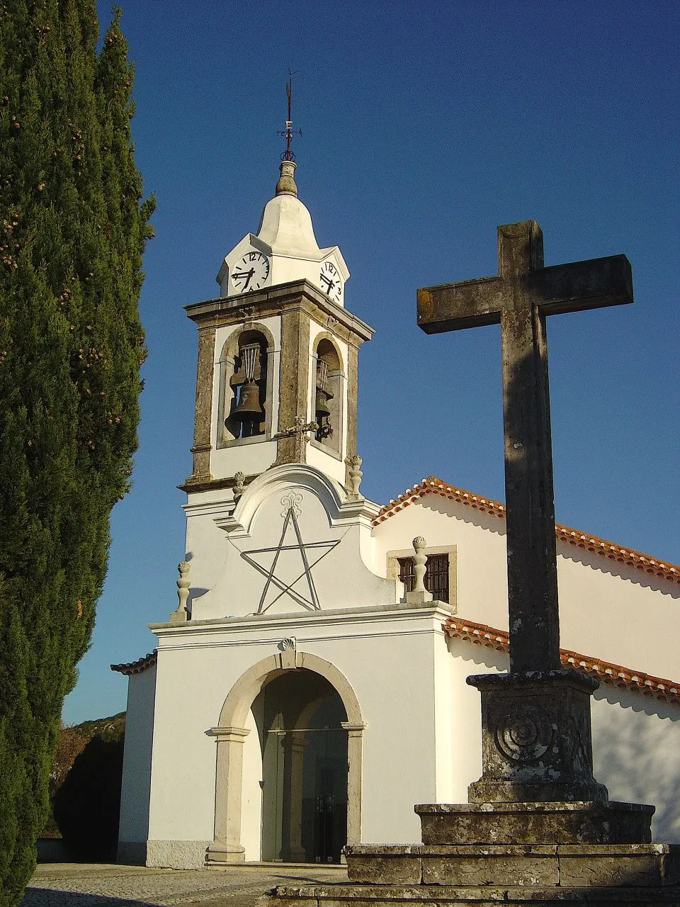
Milharado
Population: 5.9K
Nearby attractions & nature
Everything nearby-
Atalaia Mountain, União das freguesias de Enxara do Bispo, Gradil e Vila Franca do Rosário2.9 km N
-
Três Cabeços Mountain, União das freguesias de Malveira e São Miguel de Alcainça3.6 km SW
-
Montemuro Mountain, União das freguesias de Venda do Pinheiro e Santo Estêvão das Galés5.5 km S
-
Serra do Funchal Mountain, União das freguesias de Malveira e São Miguel de Alcainça5.7 km SW
-
Cabeço de Alcainça Mountain, União das freguesias de Malveira e São Miguel de Alcainça6.9 km SW
-
Cabeço da Jarmeleira Mountain, União das freguesias de Igreja Nova e Cheleiros7.6 km SW
-
Alto da Toupeira Mountain, Lousa7.7 km S
-
Monfirre Mountain, Almargem do Bispo8.4 km S
Sources & licences
Data last updated: