Cabo da Roca
Located in Colares, Sintra Municipality Coordinates: 38°46′51″ N 9°30′02″ W
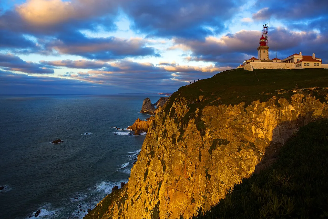
- Elevation
- 140 m
- above sea level
- Local time
- UTC+00:00
- Europe/Lisbon · UTC+00:00
- Airports
- CAT Cascais Airport14 km
- LIS Lisbon Humberto Delgado Airport32 km
About Cabo da Roca
Cabo da Roca is a natural site. Location: Colares, Sintra Municipality.
Cabo da Roca (Portuguese: [ˈkaβu dɐ ˈʁɔkɐ]) or Cape Roca is a cape which forms the westernmost point of the Sintra Mountain Range, of mainland Portugal, of continental Europe, and of the Eurasian landmass. It is located in the municipality of Sintra, near Azóia, to the west of Lisbon. Notably, the point includes a lighthouse that started operation in 1772.
Source: Wikipedia · CC BY-SA 4.0
Photos of Cabo da Roca
-

United Kingdom Hydrographic Office · Public domain -

Ray Swi-hymn · CC BY-SA 2.0 -

Ray Swi-hymn · CC BY-SA 2.0


Climate of Cabo da Roca
Best months for sightseeingBest months for sightseeing: June–September.
This month · November
A wet month
Day 17° · Night 11° · Rain 103 mm
- Hottest month
- August (day 25°)
- Coldest month
- January (night 8°)
- Wettest month
- December (112 mm)
- Driest month
- July (8 mm)
Bars: average monthly low and high temperature. Below: precipitation. Monthly averages for 1970–2000 at about 18 km resolution, adjusted for elevation. Highlighted months are mild and relatively dry. Source: WorldClim 2.1 (CC BY 4.0).
Show values as a table
| Month | Jan | Feb | Mar | Apr | May | Jun | Jul | Aug | Sep | Oct | Nov | Dec |
|---|---|---|---|---|---|---|---|---|---|---|---|---|
| Average high (°C) | 14° | 15° | 17° | 18° | 19° | 22° | 24° | 25° | 24° | 21° | 17° | 15° |
| Average low (°C) | 8° | 9° | 10° | 11° | 13° | 15° | 17° | 17° | 16° | 14° | 11° | 9° |
| Precipitation (mm) | 100 | 84 | 51 | 60 | 55 | 22 | 8 | 9 | 29 | 78 | 103 | 112 |
Other places to visit in this season: June July August September
How to get to Cabo da Roca
The nearest airport is Cascais Airport (CAT), 14 km to the southeast as the crow flies. For international flights: Lisbon Humberto Delgado Airport (LIS) (32 km). The nearest large city is Lisbon, 31 km to the east.
Airports
- Cascais Airport (CAT) Cascais 14 kmsoutheast
- Lisbon Humberto Delgado Airport (LIS) Lisbon 32 kmeast
- Portimão Airport (PRM) Portimão 198 kmsoutheast
Nearby large cities
- Lisbon Population: 517.8K 31 kmeast
- Setúbal Population: 118.2K 60 kmsoutheast
- Badajoz Population: 150.5K 220 kmeast
- Porto Population: 252.7K 274 kmnorth
- Huelva Population: 144.3K 281 kmsoutheast
Straight-line distances; road distances are longer. Airport data: OurAirports.
Day trips from Cabo da Roca
Within 100 km: 42 historic and cultural sites, 121 natural sites, 8 lakes, rivers and coasts.
0–25 km34 places
- Roman villa of Alto da Cidreira Historic site 9 kmSE
- Pena Mountain 10 kmE
- Cabeço do Soiza Mountain 4 kmE
- Serra das Sardinhas Mountain 24 kmE
25–60 km89 places
- Albarquel Beach Beach 59 kmSE
- Galapinhos Beach Beach 57 kmSE
- Outão Beach Beach 59 kmSE
- Aiana Mountain 44 kmSE
60–100 km48 places
- Serrinha Mountain 91 kmE
- Vale de Maçanedo Natural site 84 kmE
- Vale do Brejo Natural site 93 kmE
- Vale da Azeda Natural site 79 kmE
Straight-line distances.
Nearest towns and villages
-
Cape Roca Village, Colares0.3 km E
-
Azoia Village, Colares2.2 km E
-
Ulgueira Village, Colares2.2 km E
-
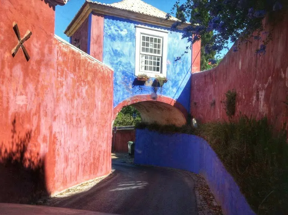 Colares Town, Colares5.1 km NE
-
Figueira do Guincho Village, Alcabideche4.5 km SE
-
Alcabideche Municipality, Cascais Municipality8.1 km SE
Nearby attractions & nature
Everything nearby-
Cabeço do Soiza Mountain, Colares3.8 km E
-
Picotos Mountain, Colares4.1 km E
-
Monge Mountain, Colares5.1 km E
-
Alto do Mato Mountain, Alcabideche6.7 km SE
-
Cruz Alta Mountain, União das freguesias de Sintra (Santa Maria e São Miguel, São Martinho e São Pedro de Penaferrim)8.7 km E
-
Cruz Alta Mountain, União das freguesias de Sintra (Santa Maria e São Miguel, São Martinho e São Pedro de Penaferrim)9.5 km E
-
Monte da Lua Mountain, União das freguesias de Sintra (Santa Maria e São Miguel, São Martinho e São Pedro de Penaferrim)9.5 km E
-
Pena Mountain, União das freguesias de Sintra (Santa Maria e São Miguel, São Martinho e São Pedro de Penaferrim)9.6 km E
Sources & licences
Data last updated: · 2 independent sources