Amorim
Located in Póvoa de Varzim Municipality, Porto District Coordinates: 41°24′30″ N 8°44′54″ W
- Population
- 2,784
- 2.8K
- Elevation
- 30 m
- above sea level
- Local time
- UTC+00:00
- Europe/Lisbon · UTC+00:00
- Places inside
- 2
- listed under Amorim
- Airports
- OPO Francisco de Sá Carneiro Airport19 km
- VRL Vila Real Airport87 km
About Amorim
Amorim is a municipality. Location: Póvoa de Varzim Municipality, Porto District. Population: 2,784. Elevation: 30 m. The best months to visit are June–September. The nearest airport is Francisco de Sá Carneiro Airport (19 km). Nearby sights include Monte S. Félix and Serra de Rates.
Photos of Amorim
-
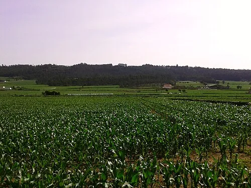
Serra de Rates PedroPVZ · CC BY-SA 3.0

Climate of Amorim
Best months for sightseeingBest months for sightseeing: June–September.
This month · November
A wet month
Day 16° · Night 8° · Rain 166 mm
- Hottest month
- July (day 24°)
- Coldest month
- January (night 6°)
- Wettest month
- December (209 mm)
- Driest month
- July (22 mm)
Bars: average monthly low and high temperature. Below: precipitation. Monthly averages for 1970–2000 at about 18 km resolution, adjusted for elevation. Highlighted months are mild and relatively dry. Source: WorldClim 2.1 (CC BY 4.0).
Show values as a table
| Month | Jan | Feb | Mar | Apr | May | Jun | Jul | Aug | Sep | Oct | Nov | Dec |
|---|---|---|---|---|---|---|---|---|---|---|---|---|
| Average high (°C) | 14° | 14° | 16° | 17° | 19° | 22° | 24° | 24° | 23° | 20° | 16° | 14° |
| Average low (°C) | 6° | 6° | 7° | 9° | 11° | 13° | 14° | 14° | 13° | 11° | 8° | 7° |
| Precipitation (mm) | 201 | 173 | 115 | 113 | 101 | 57 | 22 | 25 | 77 | 155 | 166 | 209 |
Other places to visit in this season: June July August September
How to get to Amorim
The nearest airport is Francisco de Sá Carneiro Airport (OPO), 19 km to the south as the crow flies. The nearest large city is Porto, 31 km to the south.
Airports
- Francisco de Sá Carneiro Airport (OPO) Porto 19 kmsouth
- Vila Real Airport (VRL) Vila Real 87 kmeast
- Vigo Airport (VGO) Vigo 92 kmnorth
Nearby large cities
- Porto Population: 252.7K 31 kmsouth
- Braga Population: 193.3K 31 kmnortheast
- Vigo Population: 293.6K 92 kmnorth
- Ourense Population: 105.2K 127 kmnortheast
- A Coruña Population: 250.4K 220 kmnorth
Straight-line distances; road distances are longer. Airport data: OurAirports.
Day trips from Amorim
Within 100 km: 88 historic and cultural sites, 153 natural sites, 131 lakes, rivers and coasts.
0–25 km10 places
- Praia de Ofir Beach 13 kmN
- Monte Gentil Mountain 17 kmSE
- Santo Antoninho Mountain 24 kmE
- Serra de Rates Mountain 5 kmE
25–60 km69 places
- Illa Ariño da Pasaxe Island 53 kmN
- Monte de Santa Trega Mountain 54 kmN
- Río Carvallo River 57 kmN
- Rio Minho River 53 kmN
60–100 km293 places
- Islas Cíes Island 90 kmN
- Playa de San Martín Beach 89 kmN
- Playa de Roda Beach 91 kmN
- Praia dos Muíños Beach 85 kmN
Straight-line distances.
Places in Amorim
2 placesBar: population relative to the most populous place in this list.
Nearby attractions & nature
Everything nearby-
Monte S. Félix Mountain, Laundos4.1 km NE
-
Serra de Rates Mountain, Rates5.1 km E
-
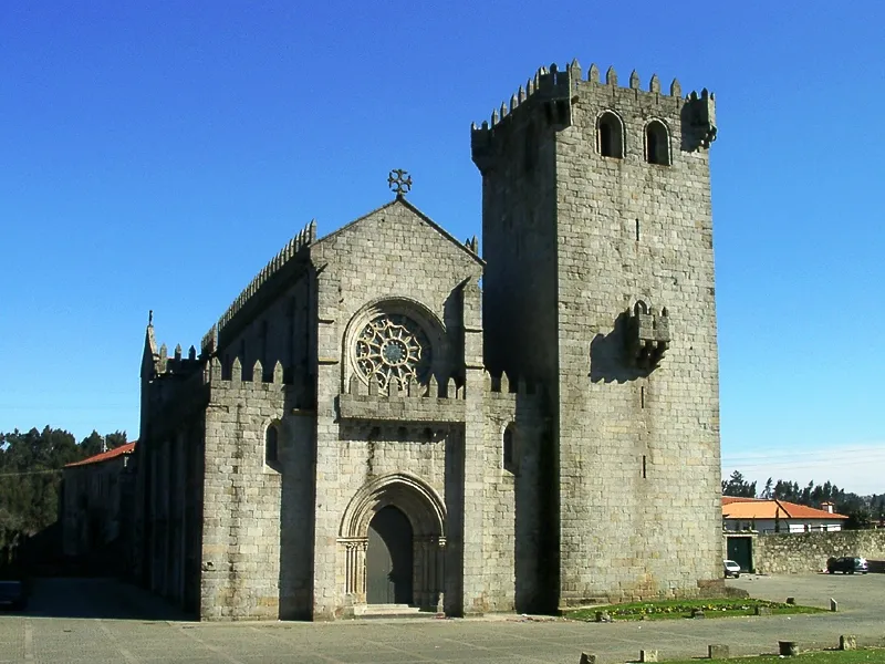 Mosteiro de Leça do Balio Attraction, Leça do Balio24 km SE
-
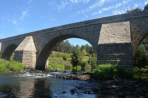 Ponte de Lagoncinha Landmark, Lousado20 km E
-
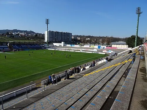 Estádio Municipal 22 de Junho Landmark, União das freguesias de Vila Nova de Famalicão e Calendário19 km E
-
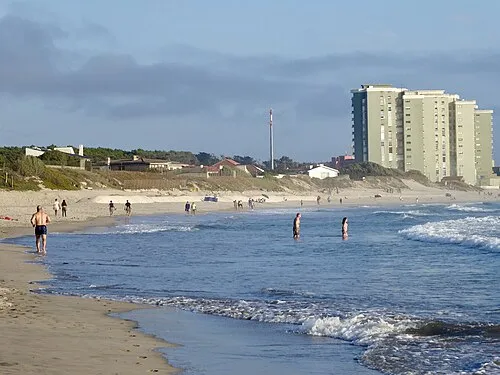 Praia de Ofir Beach, Fão13 km N
-
Serra do Bougado Mountain, União das freguesias de Bougado (São Martinho e Santiago)16 km SE
-
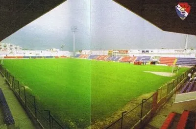 Estádio Adelino Ribeiro Novo Landmark, Arcozelo18 km NE
Other cities and towns in Póvoa de Varzim Municipality
-
Argivai Municipality, Póvoa de Varzim Municipality3.8 km S
-
Estela Municipality, Póvoa de Varzim Municipality4.9 km N
-
Laundos Municipality, Póvoa de Varzim Municipality4 km NE
-
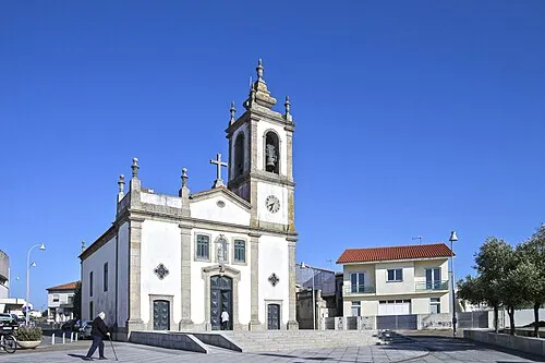 Aver-o-Mar Town, A Ver-O-Mar2.6 km W
-
Rates Municipality, Póvoa de Varzim Municipality6.2 km E
-
Balazar Municipality, Póvoa de Varzim Municipality10 km E
Sources & licences
Data last updated: