Vilar do Paraíso
Located in Vila Nova de Gaia Municipality, Porto District Coordinates: 41°05′54″ N 8°37′06″ W
- Population
- 13,878
- 13.9K
- Elevation
- 93 m
- above sea level
- Local time
- UTC+00:00
- Europe/Lisbon · UTC+00:00
- Places inside
- 2
- listed under Vilar do Paraíso
- Airports
- OPO Francisco de Sá Carneiro Airport17 km
- VSE Aerodromo Goncalves Lobato (Viseu Airport)74 km
About Vilar do Paraíso
Vilar do Paraíso is a municipality. Location: Vila Nova de Gaia Municipality, Porto District. Population: 13,878. Elevation: 93 m. The best months to visit are June–September. The nearest airport is Francisco de Sá Carneiro Airport (17 km). Nearby sights include Monte da Virgem and Palácio da Bolsa.
Photos of Vilar do Paraíso
-
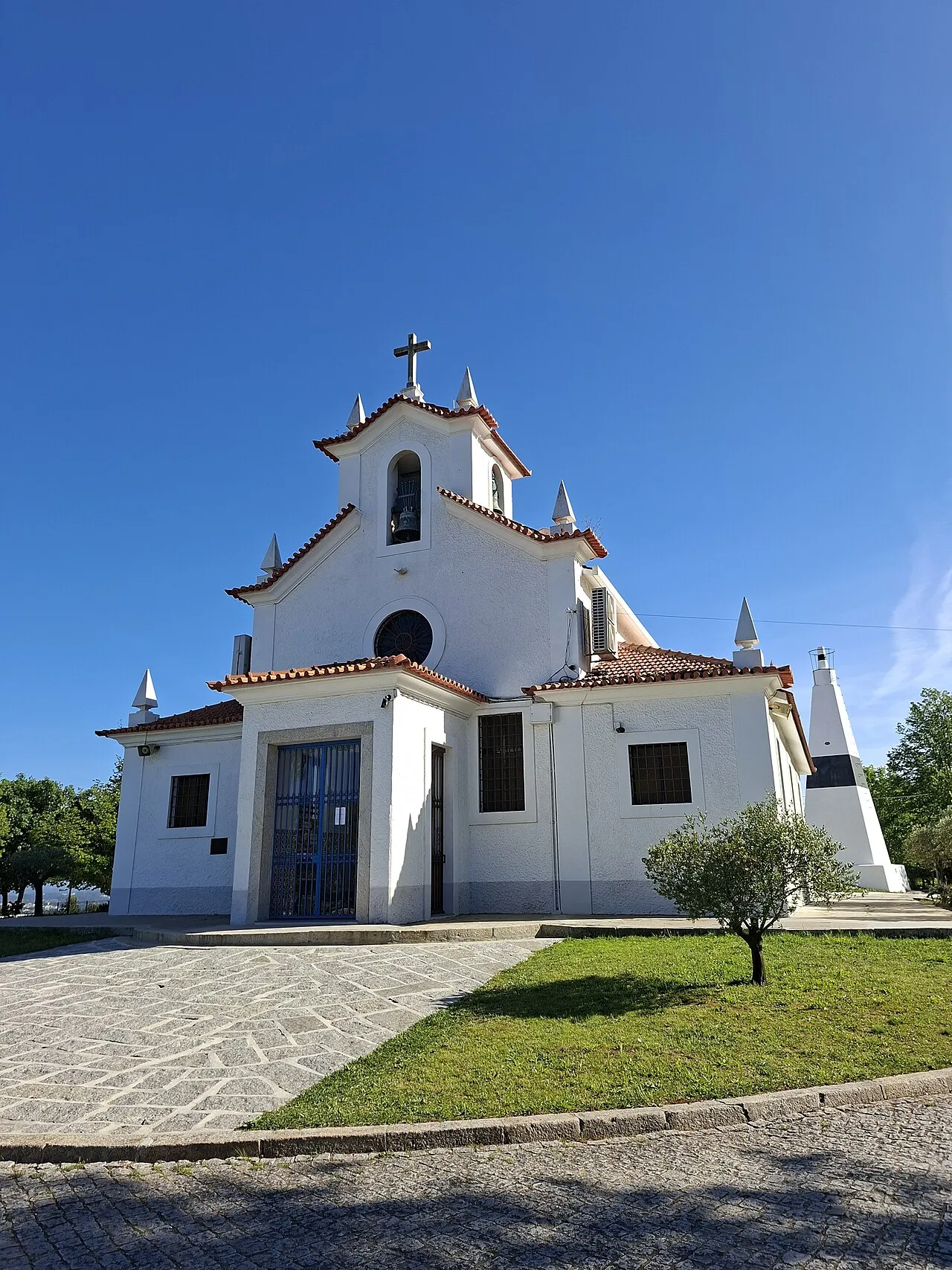
Monte da Virgem Rui T. Pinto · CC0 -
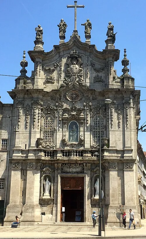
Igreja do Carmo Xcia0069 · CC BY-SA 4.0 -
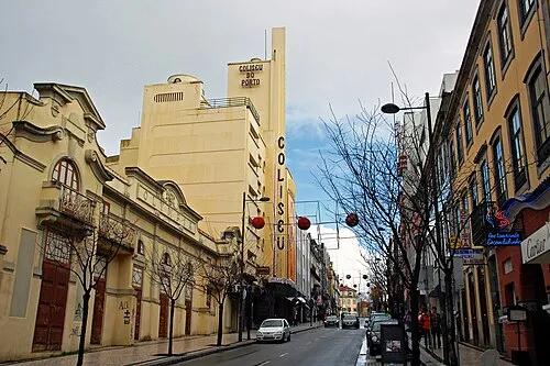
Coliseu do Porto António Amen · CC BY-SA 3.0 -
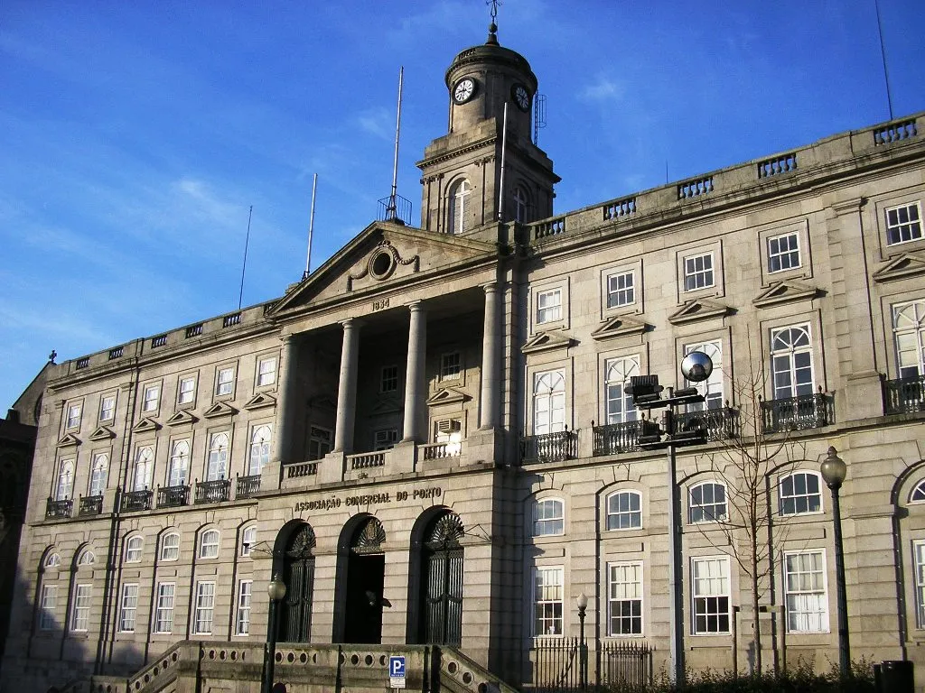
Palácio da Bolsa Manuel de Sousa · Public domain -
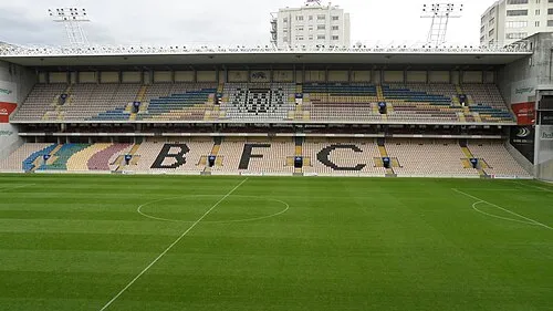
Estádio do Bessa Víctor Eclipsado · CC BY-SA 4.0


Climate of Vilar do Paraíso
Best months for sightseeingBest months for sightseeing: June–September.
This month · November
A wet month
Day 17° · Night 8° · Rain 137 mm
- Hottest month
- August (day 25°)
- Coldest month
- January (night 5°)
- Wettest month
- January (177 mm)
- Driest month
- July (16 mm)
Bars: average monthly low and high temperature. Below: precipitation. Monthly averages for 1970–2000 at about 18 km resolution, adjusted for elevation. Highlighted months are mild and relatively dry. Source: WorldClim 2.1 (CC BY 4.0).
Show values as a table
| Month | Jan | Feb | Mar | Apr | May | Jun | Jul | Aug | Sep | Oct | Nov | Dec |
|---|---|---|---|---|---|---|---|---|---|---|---|---|
| Average high (°C) | 13° | 15° | 17° | 18° | 19° | 22° | 24° | 25° | 23° | 20° | 17° | 14° |
| Average low (°C) | 5° | 6° | 7° | 9° | 11° | 14° | 15° | 15° | 14° | 11° | 8° | 7° |
| Precipitation (mm) | 177 | 160 | 125 | 100 | 88 | 52 | 16 | 19 | 57 | 128 | 137 | 172 |
Other places to visit in this season: June July August September
How to get to Vilar do Paraíso
The nearest airport is Francisco de Sá Carneiro Airport (OPO), 17 km to the north as the crow flies. The nearest large city is Porto, 6 km to the north.
Airports
- Francisco de Sá Carneiro Airport (OPO) Porto 17 kmnorth
- Aerodromo Goncalves Lobato (Viseu Airport) (VSE) Viseu 74 kmsoutheast
- Vila Real Airport (VRL) Vila Real 78 kmeast
Nearby large cities
- Porto Population: 252.7K 6 kmnorth
- Braga Population: 193.3K 53 kmnorth
- Vigo Population: 293.6K 126 kmnorth
- Ourense Population: 105.2K 151 kmnortheast
- Salamanca Population: 144.8K 249 kmeast
Straight-line distances; road distances are longer. Airport data: OurAirports.
Day trips from Vilar do Paraíso
Within 100 km: 32 historic and cultural sites, 108 natural sites, 15 lakes, rivers and coasts.
0–25 km19 places
- Monte Gentil Mountain 21 kmN
- Serra de São Domingos Mountain 24 kmE
- Serra de Santo Antoninho Mountain 19 kmE
- Serra da Parada Mountain 21 kmSE
25–60 km47 places
- Praia de Ofir Beach 49 kmN
- Monte de Lijó Mountain 58 kmNE
- Serra de Luzim Mountain 30 kmE
- Serra da Infesta Mountain 59 kmNE
60–100 km89 places
- Illa Ariño da Pasaxe Island 89 kmN
- Monte de Santa Trega Mountain 90 kmN
- Serra de Santa Eufemia Mountain 93 kmNE
- Serra do Argallo Mountain 99 kmN
Straight-line distances.
Places in Vilar do Paraíso
2 placesBar: population relative to the most populous place in this list.
Nearby attractions & nature
Everything nearby-
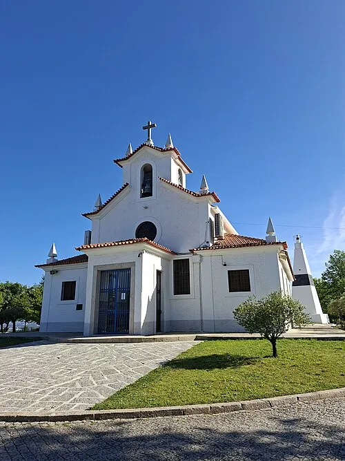 Monte da Virgem Mountain, Oliveira do Douro2.8 km E
-
Palácio da Bolsa Historic site, União das freguesias de Cedofeita, Santo Ildefonso, Sé, Miragaia, São Nicolau e Vitória4.8 km N
-
Igreja do Carmo Attraction, União das freguesias de Cedofeita, Santo Ildefonso, Sé, Miragaia, São Nicolau e Vitória5.5 km N
-
Coliseu do Porto Attraction, União das freguesias de Cedofeita, Santo Ildefonso, Sé, Miragaia, São Nicolau e Vitória5.5 km N
-
Estádio do Bessa Landmark, Ramalde7.4 km N
-
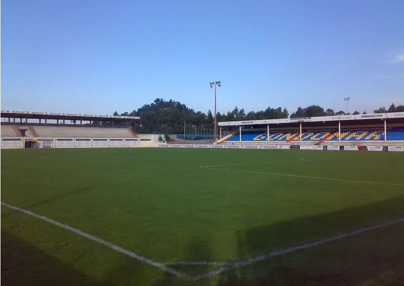 Estádio de São Miguel Landmark, União das freguesias de Gondomar (São Cosme), Valbom e Jovim7.7 km NE
-
Monte Crasto Mountain, União das freguesias de Gondomar (São Cosme), Valbom e Jovim8.4 km NE
-
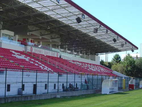 Estádio do Mar Landmark, Senhora da Hora10 km NW
Sources & licences
Data last updated: