Afyonkarahisar Province
Local name: Afyonkarahisar ili
Located in Turkey Coordinates: 38°45′00″ N 30°40′00″ E
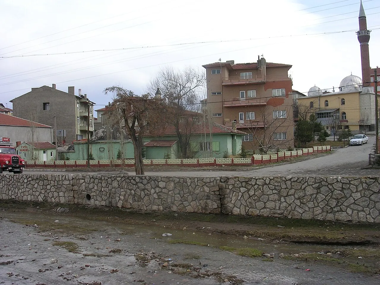
- Population
- 747,555
- 747.6K
- Elevation
- 1,060 m
- above sea level
- Local time
- UTC+03:00
- Europe/Istanbul · UTC+03:00
- Places inside
- 139
- listed under Afyonkarahisar Province
- Airports
- KZR Zafer Airport61 km
- ISE Süleyman Demirel International Airport103 km
About Afyonkarahisar Province
Afyonkarahisar Province is a region. Location: Turkey. Population: 747,555.
Afyonkarahisar Province (Turkish: Afyonkarahisar ili), often shortened to Afyon Province, is a province in western Turkey. Its area is 14,016 km2, and its population is 747,555 (2022). The provincial capital is Afyonkarahisar. Adjacent provinces are Kütahya to the northwest, Uşak to the west, Denizli to the southwest, Burdur to the south, Isparta to the southeast, Konya to the east, and Eskişehir to the north.
Source: Wikipedia · CC BY-SA 4.0
Places bordering Afyonkarahisar Province
Population of Afyonkarahisar Province over time
| 2015 | 709,015 | |
|---|---|---|
| 2018 | 725,568 | |
| 2021 | 685,031 |
Censuses and official estimates; source: Wikidata.
Climate of Afyonkarahisar Province
Best months for sightseeingBest months for sightseeing: May–June, September–October.
This month · November
A cold month
Day 12° · Night 1° · Rain 37 mm
Better nearby cities in November
- Aydin · 266 km west19°
- Alanya · 272 km southeast21°
- Silifke · 391 km southeast21°
- Hottest month
- July (day 29°)
- Coldest month
- January (night -4°)
- Wettest month
- December (62 mm)
- Driest month
- August (12 mm)
Bars: average monthly low and high temperature. Below: precipitation. Monthly averages for 1970–2000 at about 18 km resolution, adjusted for elevation. Highlighted months are mild and relatively dry. Source: WorldClim 2.1 (CC BY 4.0).
Show values as a table
| Month | Jan | Feb | Mar | Apr | May | Jun | Jul | Aug | Sep | Oct | Nov | Dec |
|---|---|---|---|---|---|---|---|---|---|---|---|---|
| Average high (°C) | 4° | 6° | 11° | 16° | 21° | 26° | 29° | 29° | 25° | 19° | 12° | 6° |
| Average low (°C) | -4° | -3° | -1° | 4° | 8° | 12° | 14° | 14° | 10° | 5° | 1° | -2° |
| Precipitation (mm) | 50 | 48 | 49 | 50 | 55 | 39 | 16 | 12 | 16 | 38 | 37 | 62 |
Other places to visit in this season: May June September October
How to get to Afyonkarahisar Province
The nearest airport is Zafer Airport (KZR), 61 km to the northwest as the crow flies. For international flights: Hasan Polatkan Airport (AOE) (119 km). The nearest large city is Afyonkarahisar, 11 km to the west.
Airports
- Zafer Airport (KZR) Altıntaş 61 kmnorthwest
- Süleyman Demirel International Airport (ISE) Isparta 103 kmsouth
- Hasan Polatkan Airport (AOE) Eskişehir 119 kmnorth
Nearby large cities
- Afyonkarahisar Population: 251.8K 11 kmwest
- Kütahya Population: 185K 95 kmnorthwest
- Uşak Population: 369.4K 110 kmwest
- Isparta Population: 172.3K 110 kmsouth
- Eskişehir Population: 921.6K 115 kmnorth
Straight-line distances; road distances are longer. Airport data: OurAirports.
Places in Afyonkarahisar Province
139 places- 1 Afyonkarahisar 328.3K
- 2 Sandıklı İlçesi 57.2K
- 3 Sandıklı Bucağı 54.4K
- 4 Dinar İlçesi 48.7K
- 5 Bolvadin İlçesi 45.7K
- 6 Sinanpaşa 41.9K
- 7 Emirdağ İlçesi 39.4K
- 8 Şuhut İlçesi 38.1K
- 9 Çay İlçesi 33.4K
- 10 İhsaniye İlçesi 28.8K
- 11 İscehisar District 24.4K
- 12 Sultandağı İlçesi 16.5K
- 13 Çobanlar İlçesi 14.1K
- 14 Dazkırı İlçesi 11.2K
- 15 Başmakçı İlçesi 10.5K
- 16 Hocalar İlçesi 10.5K
- 17 Bayat İlçesi 8.3K
- 18 Evciler İlçesi 7.8K
- 19 Kızılören İlçesi 2.6K
Bar: population relative to the most populous place in this list.
Cities & villages8
- Aydınlar · Village
- Başmakçı Bucağı · Municipality
- Bayat Bucağı · Municipality
- Bolvadin Bucağı · Municipality
- Çay Bucağı · Municipality
- Çobanlar Bucağı · Municipality
- Davulga Bucağı · Municipality
- Dazkırı Bucağı · Municipality
Mountains & nature10
- Acısu Çeşmesi · Natural site
- Akar Çeşmesi · Natural site
- Akçeşme · Natural site
- Alapınar Çeşmesi · Natural site
- Baraklı Çeşme · Natural site
- Bayat Boğazı · Natural site
- Begirağalı Çeşmesi · Natural site
- Bostanlık Çeşmesi · Natural site
- Çaltan Boğazı · Natural site
- Derbent Boğazı · Natural site
Lakes, rivers & coasts23
- Akar Çay · River
- Aksu Dere · River
- Alışır Deresi · River
- Avdan Deresi · River
- Avşar Deresi · River
- Avşar Deresi · River
- Bahçe Deresi · River
- Başören Deresi · River
- Bel Deresi · River
- Binin Deresi · River
- Böğürtlen Deresi · River
- Çalboğazı Deresi · River
- Çamlık Deresi · River
- Çay Deresi · River
- Çayiçi Deresi · River
- Çayırbaşı Deresi · River
- Çayırlar Deresi · River
- Çayırlık Deresi · River
- Çayırözü Deresi · River
- Çukurkuyu Deresi · River
- Değirmen Dere · River
- Değirmen Dere · River
- Değirmen Deresi · River
Largest cities and towns
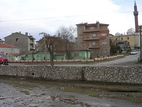
Nature and heritage in Afyonkarahisar Province
Sources & licences
Data last updated: · 2 independent sources