Emirdağ İlçesi
Located in Afyonkarahisar Province, Turkey Coordinates: 39°01′41″ N 31°09′17″ E
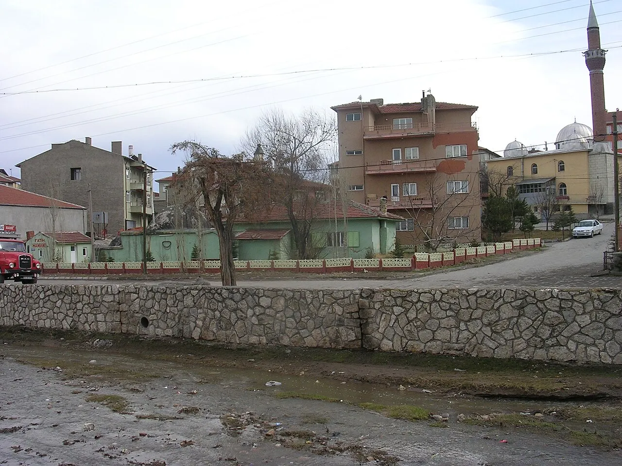
- Population
- 39,391
- 39.4K
- Elevation
- 978 m
- above sea level
- Local time
- UTC+03:00
- Europe/Istanbul · UTC+03:00
- Places inside
- 128
- listed under Emirdağ İlçesi
- Airports
- KZR Zafer Airport89 km
- AOE Hasan Polatkan Airport103 km
About Emirdağ İlçesi
Emirdağ İlçesi is a district. Location: Afyonkarahisar Province, Turkey. Population: 39,391. The best months to visit are May–June, September–October. The nearest airport is Zafer Airport (89 km). Nearby sights include Çayırlar Deresi and Çayırlık Deresi.
Climate of Emirdağ İlçesi
Best months for sightseeingBest months for sightseeing: May–June, September–October.
This month · November
A cold month
Day 12° · Night 2° · Rain 32 mm
Better nearby cities in November
- Alanya · 286 km south21°
- Aydin · 317 km southwest19°
- Silifke · 383 km southeast21°
- Hottest month
- July (day 29°)
- Coldest month
- January (night -3°)
- Wettest month
- May (56 mm)
- Driest month
- August (12 mm)
Bars: average monthly low and high temperature. Below: precipitation. Monthly averages for 1970–2000 at about 18 km resolution, adjusted for elevation. Highlighted months are mild and relatively dry. Source: WorldClim 2.1 (CC BY 4.0).
Show values as a table
| Month | Jan | Feb | Mar | Apr | May | Jun | Jul | Aug | Sep | Oct | Nov | Dec |
|---|---|---|---|---|---|---|---|---|---|---|---|---|
| Average high (°C) | 4° | 6° | 11° | 16° | 21° | 25° | 29° | 29° | 25° | 19° | 12° | 6° |
| Average low (°C) | -3° | -2° | 1° | 5° | 9° | 12° | 15° | 14° | 11° | 7° | 2° | -1° |
| Precipitation (mm) | 41 | 39 | 43 | 48 | 56 | 41 | 16 | 12 | 15 | 35 | 32 | 50 |
Other places to visit in this season: May June September October
How to get to Emirdağ İlçesi
The nearest airport is Zafer Airport (KZR), 89 km to the west as the crow flies. For international flights: Hasan Polatkan Airport (AOE) (103 km). The nearest large city is Afyonkarahisar, 61 km to the southwest.
Airports
- Zafer Airport (KZR) Altıntaş 89 kmwest
- Hasan Polatkan Airport (AOE) Eskişehir 103 kmnorthwest
- Süleyman Demirel International Airport (ISE) Isparta 147 kmsouthwest
Nearby large cities
- Afyonkarahisar Population: 251.8K 61 kmsouthwest
- Eskişehir Population: 921.6K 99 kmnorthwest
- Kütahya Population: 185K 110 kmnorthwest
- Isparta Population: 172.3K 150 kmsouth
- Uşak Population: 369.4K 157 kmwest
Straight-line distances; road distances are longer. Airport data: OurAirports.
Day trips from Emirdağ İlçesi
Within 100 km: 19 historic and cultural sites, 296 natural sites, 146 lakes, rivers and coasts.
0–25 km29 places
- Koca Göl Lake 16 kmE
- Dedeli Tepe Mountain 13 kmSW
- Eğerlidağı Tepesi Mountain 25 kmW
- Emirdede Tepe Mountain 15 kmSE
25–60 km112 places
- Lake Eber Lake 42 kmS
- Prymnessos Lake 47 kmSW
- Karkız Gölü Lake 37 kmN
- Yediler Tepesi Mountain 56 kmNE
60–100 km320 places
- Sarısunger Göleti Lake 90 kmNW
- Lake Çavuşçu Lake 99 kmSE
- Beylikahır Gölü Lake 74 kmN
- Lake Akşehir Lake 62 kmSE
Straight-line distances.
Places in Emirdağ İlçesi
128 places- 1 Emirdağ 20.1K
- 2 Yüreğil 1.5K
- 3 Adayazı 938
- 4 Çaykışla 693
- 5 Karacalar 667
- 6 Bademli 642
- 7 Başkonak 581
- 8 Güveççi 569
- 9 Davulga 557
- 10 Örenköy 515
- 11 Yenikapı 459
- 12 Tezköy 452
- 13 Yeniköy 447
- 14 Güneysaray 445
- 15 Çatallı 386
- 16 İkizce 379
- 17 Türkmen 321
- 18 Suvermez 319
- 19 Türkmenakören 315
- 20 Eşrefli 310
- 21 Tabaklar 309
- 22 Elhan 305
- 23 Demircili 286
- 24 Hamzahacılı 276
- 25 Ablak 253
- 26 Dereköy 227
- 27 Veysel 208
- 28 Sığracık 201
- 29 Aşağıkurudere 191
- 30 Gözeli 184
- 31 Karakuyu 182
- 32 Ağılcık 163
- 33 Özkan 162
- 34 Aşağıaliçomak 148
- 35 Karaağaç 145
- 36 Büyüktuğluk 140
- 37 Salihler 134
- 38 Bağlıca 133
- 39 Daydalı 131
- 40 Emirinköyü 126
- 41 Karayatak 126
- 42 Yarıkkaya 115
- 43 Balcam 112
- 44 Kırkpınar 107
- 45 İncik 106
- 46 Gedikevi 99
- 47 Avdan 92
- 48 Kılıçlar 90
- 49 Kuruca 89
- 50 Dağılgan 85
- 51 Yavuz 85
- 52 Eskiakören 78
- 53 Soğukkuyu 78
- 54 Gelincik 74
- 55 Yarımca 71
- 56 Beyören 71
- 57 Camili 68
- 58 Umraniye 67
- 59 Yusufağa 64
- 60 Beyköy 60
Bar: population relative to the most populous place in this list.
Nearby attractions & nature
Everything nearby-
Çayırlar Deresi River, Afyonkarahisar Province5.8 km SW
-
Çayırlık Deresi River, Afyonkarahisar Province9.3 km NE
-
Kuru Dere River, Afyonkarahisar Province10 km SW
-
Bayat Boğazı Natural site, Afyonkarahisar Province12 km W
-
Emir Dağları Mountain, Afyonkarahisar Province23 km S
-
Çukurkuyu Deresi River, Afyonkarahisar Province14 km W
Sources & licences
Data last updated: