Eştefli Tepe
Located in Eskil İlçesi, Aksaray Province Coordinates: 38°11′41″ N 33°30′20″ E
- Elevation
- 973 m
- above sea level
- Local time
- UTC+03:00
- Europe/Istanbul · UTC+03:00
- Airports
- KYA Konya Airport86 km
- NAV Nevşehir Kapadokya Airport110 km
About Eştefli Tepe
Eştefli Tepe is a mountain. Location: Eskil İlçesi, Aksaray Province. Elevation: 973 m. The best months to visit are May–June, September–October. The nearest airport is Konya Airport (86 km). Nearby sights include Beş Pınar and Karaağaç Tepesi.
Climate of Eştefli Tepe
Best months for sightseeingBest months for sightseeing: May–June, September–October.
This month · November
Outside the best season
Day 13° · Night 0° · Rain 46 mm
Better nearby cities in November
- Mersin · 183 km southeast22°
- Tarsus · 187 km southeast22°
- Silifke · 206 km south21°
- Hottest month
- July (day 31°)
- Coldest month
- January (night -5°)
- Wettest month
- December (64 mm)
- Driest month
- August (3 mm)
Bars: average monthly low and high temperature. Below: precipitation. Monthly averages for 1970–2000 at about 18 km resolution, adjusted for elevation. Highlighted months are mild and relatively dry. Source: WorldClim 2.1 (CC BY 4.0).
Show values as a table
| Month | Jan | Feb | Mar | Apr | May | Jun | Jul | Aug | Sep | Oct | Nov | Dec |
|---|---|---|---|---|---|---|---|---|---|---|---|---|
| Average high (°C) | 4° | 7° | 12° | 17° | 22° | 27° | 31° | 30° | 26° | 20° | 13° | 7° |
| Average low (°C) | -5° | -3° | 0° | 4° | 7° | 10° | 14° | 13° | 8° | 4° | 0° | -3° |
| Precipitation (mm) | 60 | 50 | 53 | 53 | 42 | 18 | 4 | 3 | 6 | 25 | 46 | 64 |
Other places to visit in this season: May June September October
How to get to Eştefli Tepe
The nearest airport is Konya Airport (KYA), 86 km to the west as the crow flies. The nearest large city is Aksaray, 50 km to the northeast.
Airports
- Konya Airport (KYA) Konya 86 kmwest
- Nevşehir Kapadokya Airport (NAV) Nevşehir 110 kmnortheast
- Kayseri Erkilet International Airport (ASR) Kayseri 185 kmeast
Nearby large cities
- Aksaray Population: 327.6K 50 kmnortheast
- Heraclea Population: 156.3K 89 kmsoutheast
- Konya Population: 1.4M 97 kmwest
- Karaman Population: 175.4K 115 kmsouth
- Kırşehir Population: 150.7K 120 kmnortheast
Straight-line distances; road distances are longer. Airport data: OurAirports.
Day trips from Eştefli Tepe
Within 100 km: 4 historic and cultural sites, 160 natural sites, 82 lakes, rivers and coasts.
0–25 km11 places
- Akgöl Lake 15 kmNW
- Kocataş Tepesi Mountain 19 kmSW
- Bal Tepe Mountain 13 kmS
- Memberhöyüğü Tepesi Mountain 21 kmSE
25–60 km70 places
- Lake Tuz Lake 59 kmN
- Tersakan Gölü Lake 58 kmNW
- Musalar Gölü Lake 59 kmW
- Acıgöl Lake 45 kmNW
60–100 km165 places
- Köpek Gölü Lake 79 kmNW
- Lake Bolluk Lake 63 kmNW
- Akyay Gölü Lake 83 kmW
- Acıgöl Lake 85 kmE
Straight-line distances.
Nearest towns and villages
-
Güneşli Village, Eskil İlçesi5.5 km S
-
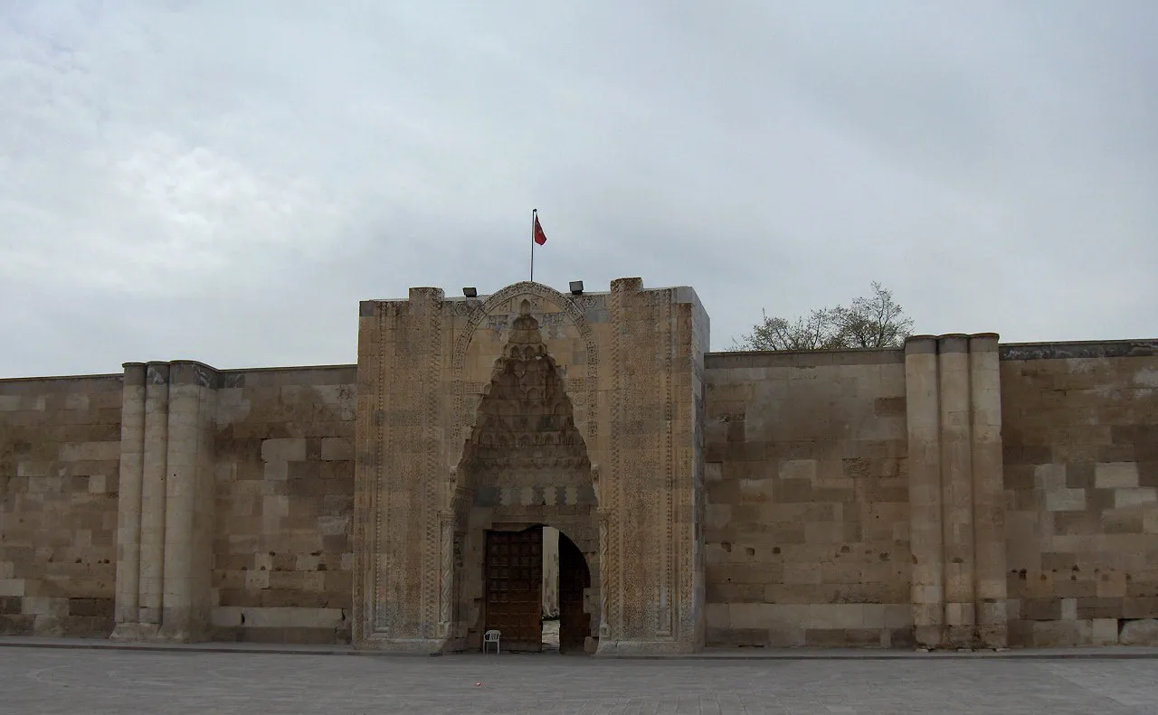 Sultanhanı City, Sultanhanı7 km NE
-
Çalakköyü Yaylası Village, Eskil İlçesi3.4 km S
-
Eşmekaya Village, Eskil İlçesi8.7 km NW
-
İhracıya Yaylası Village, Eskil İlçesi5 km S
-
Tepeköy Yaylası Village, Sultanhanı4.8 km E
Nearby attractions & nature
Everything nearby-
Beş Pınar Natural site, Aksaray Province3.6 km S
-
Karaağaç Tepesi Mountain, Eskil İlçesi17 km NW
-
Bal Tepe Mountain, Eskil İlçesi13 km S
-
Memberhöyüğü Tepesi Mountain, Emirgazi İlçesi21 km SE
-
Kocataş Tepesi Mountain, Konya Province19 km SW
-
Akgöl Lake, Aksaray Province15 km NW
-
Karatalkuyusu Deresi River, Aksaray Province16 km W
-
Koca Dere River, Aksaray Province18 km SE
Sources & licences
Data last updated: