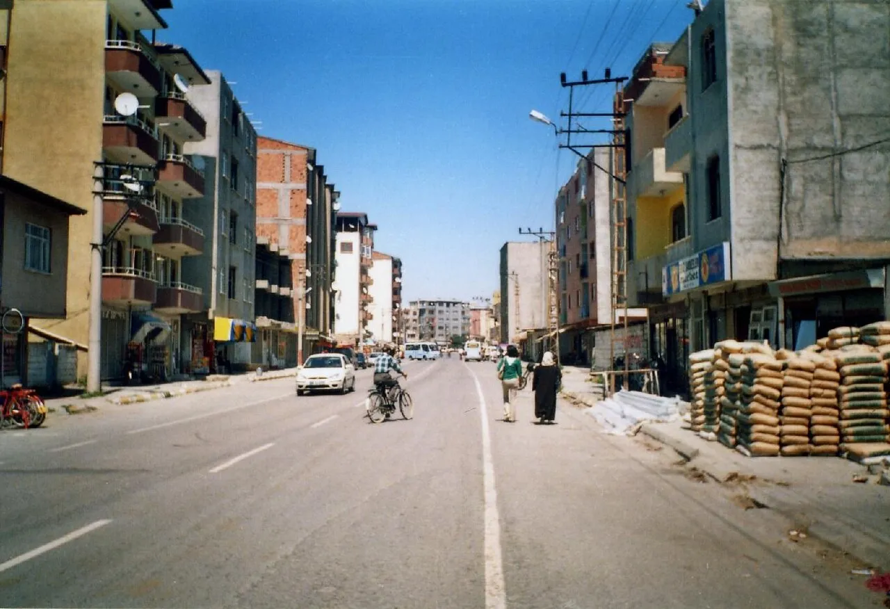
- Population
- 152,455
- 152.5K
- Elevation
- 900 m
- above sea level
- Local time
- UTC+03:00
- Europe/Istanbul · UTC+03:00
- Places inside
- 75
- listed under Iğdır İlçesi
- Airports
- IGD Iğdır Airport18 km
- EVN Zvartnots International Airport45 km
About Iğdır İlçesi
Iğdır İlçesi is a district. Location: Iğdır Province, Turkey. Population: 152,455. The best months to visit are May, September–October. The nearest airport is Iğdır Airport (18 km). Nearby sights include Genuti and Erhacı Gölü.
Climate of Iğdır İlçesi
Best months for sightseeingBest months for sightseeing: May, September–October.
This month · November
A cold month
Day 11° · Night 1° · Rain 18 mm
Better nearby cities in November
- Silopi · 321 km southwest20°
- Cizre · 324 km southwest20°
- Hottest month
- July (day 32°)
- Coldest month
- January (night -8°)
- Wettest month
- May (47 mm)
- Driest month
- August (10 mm)
Bars: average monthly low and high temperature. Below: precipitation. Monthly averages for 1970–2000 at about 18 km resolution, adjusted for elevation. Highlighted months are mild and relatively dry. Source: WorldClim 2.1 (CC BY 4.0).
Show values as a table
| Month | Jan | Feb | Mar | Apr | May | Jun | Jul | Aug | Sep | Oct | Nov | Dec |
|---|---|---|---|---|---|---|---|---|---|---|---|---|
| Average high (°C) | 1° | 4° | 10° | 18° | 22° | 28° | 32° | 32° | 27° | 20° | 11° | 4° |
| Average low (°C) | -8° | -5° | 0° | 6° | 10° | 14° | 17° | 17° | 12° | 6° | 1° | -4° |
| Precipitation (mm) | 17 | 21 | 23 | 35 | 47 | 32 | 13 | 10 | 10 | 27 | 18 | 15 |
How to get to Iğdır İlçesi
The nearest airport is Iğdır Airport (IGD), 18 km to the northwest as the crow flies. For international flights: Zvartnots International Airport (EVN) (45 km). The nearest large city is Iğdır, 7 km to the north.
Airports
- Iğdır Airport (IGD) Iğdır 18 kmnorthwest
- Zvartnots International Airport (EVN) Yerevan 45 kmnortheast
- Ağrı Airport (AJI) Ağrı 88 kmwest
Nearby large cities
- Iğdır Population: 101.7K 7 kmnorth
- Ağrı Population: 124.5K 86 kmwest
- Van Population: 525K 161 kmsouth
- Rustavi Population: 128.2K 205 kmnortheast
- Tbilisi Population: 1M 214 kmnorth
Straight-line distances; road distances are longer. Airport data: OurAirports.
Day trips from Iğdır İlçesi
Within 100 km: 58 historic and cultural sites, 164 natural sites, 125 lakes, rivers and coasts.
0–25 km23 places
- Saz Gölü Lake 22 kmS
- Erhacı Gölü Lake 9 kmNE
- Sıçanlı Dağ Mountain 18 kmSW
- Pamukdağı Tepe Mountain 12 kmSE
25–60 km98 places
- Gölyüzü Gölü Lake 30 kmS
- Lake Balık Lake 40 kmW
- Abbasgöl Lake 34 kmW
- Ziyaret Tepe Mountain 55 kmW
60–100 km226 places
- Ani Historic site 81 kmNW
- Turna Gölü Lake 98 kmNW
- Deniz Gölü Lake 100 kmW
- Çalı Gölü Lake 98 kmNW
Straight-line distances.
Places in Iğdır İlçesi
75 places- 1 Iğdır 101.7K
- 2 Halfeli Municipality 8.4K
- 3 Aşağıerhacı 4.4K
- 4 Melekli 3.5K
- 5 Suveren 3.4K
- 6 Enginalan 3.1K
- 7 Küllük 3K
- 8 Karakuyu 2.9K
- 9 Hoşhaber Municipality 2.7K
- 10 Panik 2.4K
- 11 Yunus Emre Mahallesi 2.2K
- 12 Said Nursi Mahallesi 2.1K
- 13 Yüzbaşılar 1.9K
- 14 Bahçelievler Mahallesi 1.5K
- 15 Özvatan Mahallesi 1.5K
- 16 Mehmet Akif Ersoy Mahallesi 1.3K
- 17 Karabağ Mahallesi 1.3K
- 18 Turgut Özal Mahallesi 1.1K
- 19 Hoca İbrahim Güneş Mahallesi 993
- 20 Yeni Mahallesi 900
- 21 Namık Kemal Mahallesi 888
- 22 Gülpınar 872
- 23 Tacirli 862
- 24 Faruktoka Mahallesi 839
- 25 Bayraktutan 749
- 26 Yaycı 743
- 27 Yukarı Çarıkçı 712
- 28 Çakırtaş 556
- 29 Obaköy 526
- 30 Harmandöven 438
- 31 Hakmehmet 425
- 32 Zor 405
- 33 Alibeyköy 399
- 34 Akyumak 373
- 35 Aşağı Çarıkçı 365
- 36 Kazancı 345
- 37 Kadıkışlak 310
- 38 Çalpala 306
- 39 Kasımcan 283
- 40 Sıçanlı 280
- 41 Taşlıca 263
- 42 Güngörmez 251
- 43 Kuzugüden 241
- 44 Kavaktepe 217
- 45 Elmagöl 184
- 46 Mezraa 164
- 47 Pınarbaşı 159
- 48 Sarıçoban 144
- 49 Çilli 143
- 50 Necefali 141
- 51 Asma 138
- 52 Nişankaya 121
- 53 Ağaver 104
- 54 Bendemurat 102
- 55 Karagüney 86
- 56 Oruşmuş 32
Bar: population relative to the most populous place in this list.
Cities & villages2
Mountains & nature2
- Aracık Dağı · Mountain
- Arpa Tepe · Mountain
Nearby attractions & nature
Everything nearby-
Genuti Mountain, Iğdır Province6.2 km E
-
Erhacı Gölü Lake, Iğdır Province9.1 km NE
-
Zorköy Deresi River, Karabük Province7.5 km W
-
Kanber Deresi River, Iğdır Province9.4 km NW
-
Zor Dağ Mountain, Doğubayazıt District17 km SW
-
Oyuklu Dağ Mountain, Tuzluca İlçesi22 km W
Sources & licences
Data last updated: