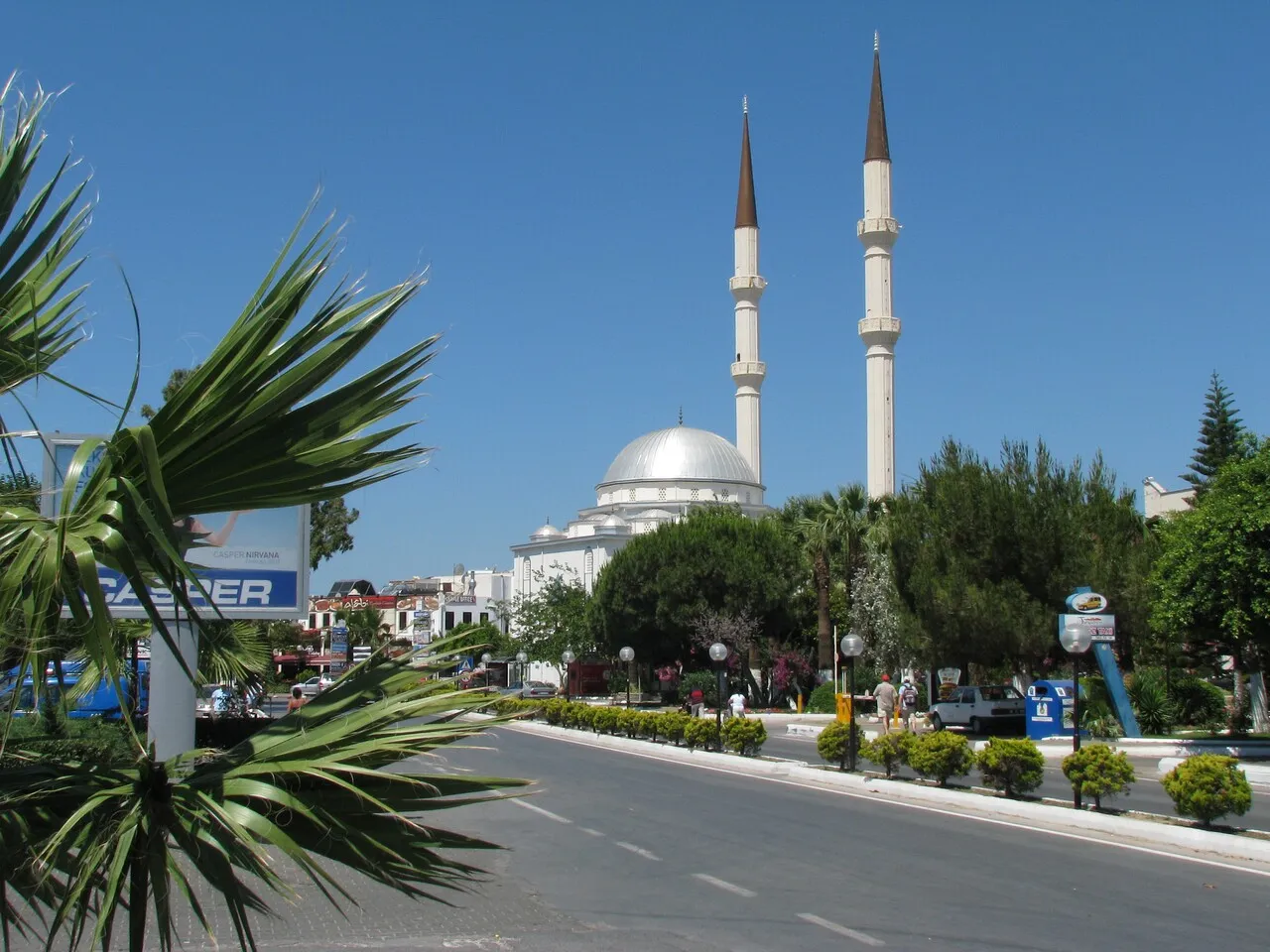
- Population
- 1,048,185
- 1M
- Elevation
- 854 m
- above sea level
- Local time
- UTC+03:00
- Europe/Istanbul · UTC+03:00
- Places inside
- 334
- listed under Muğla Province
- Airports
- BJV Milas Bodrum International Airport61 km
- DLM Dalaman International Airport69 km
About Muğla Province
Muğla Province is a region. Location: Turkey. Population: 1,048,185.
Muğla Province (Turkish: Muğla ili, pronounced [muːɫa iˈli]) is a province and metropolitan municipality of Turkey, at the country's southwestern corner, on the Aegean Sea. Its area is 12,654 km2, and its population is 1,048,185 (2022). Its seat is the city of Muğla, about 20 km (12 mi) inland, while some of Turkey's largest holiday resorts, such as Bodrum, Ölüdeniz, Marmaris and Fethiye, lie on the coast.
Source: Wikipedia · CC BY-SA 4.0
Photos of Muğla Province
-
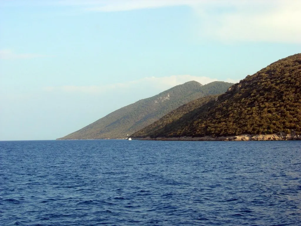
Kara Ada Island Alessandro57 · Public domain -
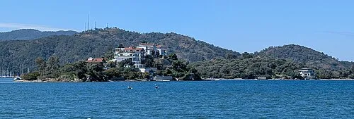
Cavaliere Island Vano111ru · CC BY-SA 4.0 -
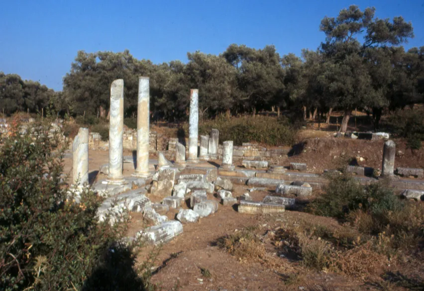
Iasos MM · CC BY-SA 3.0 -
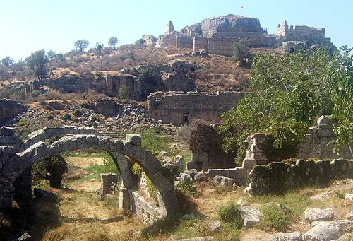
Tlos Toksave · CC BY-SA 3.0


Places bordering Muğla Province
- Antalya Province
- Aydın Province
- Burdur Province
- Denizli Province
Climate of Muğla Province
Best months for sightseeingBest months for sightseeing: May, September–October.
This month · November
A wet month
Day 15° · Night 6° · Rain 106 mm
Better nearby cities in November
- Aydin · 82 km northwest19°
- Alanya · 333 km east21°
- Hottest month
- July (day 31°)
- Coldest month
- January (night 2°)
- Wettest month
- December (177 mm)
- Driest month
- August (10 mm)
Bars: average monthly low and high temperature. Below: precipitation. Monthly averages for 1970–2000 at about 18 km resolution, adjusted for elevation. Highlighted months are mild and relatively dry. Source: WorldClim 2.1 (CC BY 4.0).
Show values as a table
| Month | Jan | Feb | Mar | Apr | May | Jun | Jul | Aug | Sep | Oct | Nov | Dec |
|---|---|---|---|---|---|---|---|---|---|---|---|---|
| Average high (°C) | 9° | 10° | 13° | 18° | 23° | 28° | 31° | 31° | 28° | 22° | 15° | 11° |
| Average low (°C) | 2° | 2° | 4° | 7° | 11° | 15° | 18° | 18° | 14° | 10° | 6° | 3° |
| Precipitation (mm) | 161 | 136 | 97 | 60 | 49 | 25 | 11 | 10 | 15 | 54 | 106 | 177 |
How to get to Muğla Province
The nearest airport is Milas Bodrum International Airport (BJV), 61 km to the west as the crow flies. The nearest large city is Nazilli, 76 km to the north.
Airports
- Milas Bodrum International Airport (BJV) Bodrum 61 kmwest
- Dalaman International Airport (DLM) Dalaman 69 kmsoutheast
- Rhodes International Airport "Diagoras" (RHO) Rhodes 95 kmsouth
Nearby large cities
- Nazilli Population: 119.4K 76 kmnorth
- Aydin Population: 163K 82 kmnorthwest
- Merkezefendi Population: 280.3K 88 kmnortheast
- Denizli Population: 313.2K 88 kmnortheast
- Salihli Population: 119.3K 140 kmnorth
Straight-line distances; road distances are longer. Airport data: OurAirports.
Places in Muğla Province
334 places- 1 Fethiye 177.7K
- 2 Bodrum 140.7K
- 3 Milas 129.1K
- 4 Menteşe 124.8K
- 5 Marmaris 97.8K
- 6 Seydikemer 59.7K
- 7 Ortaca Bucağı 52.9K
- 8 Yatağan 45.3K
- 9 Dalaman Bucağı 44.4K
- 10 Ortaca İlçesi 44.2K
- 11 Dalaman 35.4K
- 12 Köyceğiz İlçesi 33.8K
- 13 Ula İlçesi 23.4K
- 14 Datça İlçesi 18K
- 15 Kavaklıdere 10.9K
Bar: population relative to the most populous place in this list.
Cities & villages5
- Asın · Village
- Aydınlar · Village
- Ayvacık · Village
- Bodrum Bucağı · Municipality
- Bozburun · Municipality
Mountains & nature15
- Adatepebükü · Natural site
- Ağaçbaşı Limanı · Natural site
- Aşlama Çeşmesi · Natural site
- Belceğiz Körfezi · Natural site
- Belen Pınar · Natural site
- Beşparmak Dağları · Mountain
- Boncuk Dağları · Mountain
- Bozburun Yarımadası · Natural site
- Budrum Bay · Natural site
- Bulgaz Koyu · Natural site
- Büyük Koy · Natural site
- Çal Dağı · Mountain
- Çaltaca Koyu · Natural site
- Çam Limanı · Natural site
- Çam Tepe · Mountain
Lakes, rivers & coasts25
- Akçalı Adası · Island
- Akçay · River
- Akyol Deresi · River
- Alağün Adası · Island
- Anani Adası · Island
- Arap Adası · Island
- Aygır Deresi · River
- Balaban Adası · Island
- Baldıranlı Dere · River
- Bardakçı Plajı · Beach
- Başpınar Deresi · River
- Bedir Adası · Island
- Belara Deresi · River
- Bencik Deresi · River
- Bent Deresi · River
- Bördübet Deresi · River
- Bozasar Deresi · River
- Büyük Adası · Island
- Büyükhurma Deresi · River
- Büyükkiremit Adası · Island
- Çal Deresi · River
- Çatal Ada · Island
- Çatal Adaları · Island
- Çatal Adası · Island
- Çatal Adası · Island
Largest cities and towns
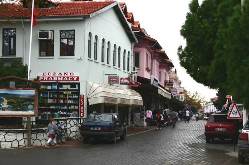


Nature and heritage in Muğla Province
Sources & licences
Data last updated: · 2 independent sources