- Elevation
- 231 m
- above sea level
- Local time
- UTC+03:00
- Europe/Istanbul · UTC+03:00
- Airports
- OGU Ordu–Giresun Airport29 km
- SZF Samsun-Çarşamba Airport102 km
About Güzelyurt
Güzelyurt is a village. Location: Perşembe İlçesi, Ordu. Elevation: 231 m. The best months to visit are June–September. The nearest airport is Ordu–Giresun Airport (29 km). Nearby sights include Sakarat Tepe and Ele Deresi.
Climate of Güzelyurt
Best months for sightseeingBest months for sightseeing: June–September.
This month · November
A wet month
Day 14° · Night 7° · Rain 108 mm
- Hottest month
- August (day 24°)
- Coldest month
- January (night 1°)
- Wettest month
- October (111 mm)
- Driest month
- July (56 mm)
Bars: average monthly low and high temperature. Below: precipitation. Monthly averages for 1970–2000 at about 18 km resolution, adjusted for elevation. Highlighted months are mild and relatively dry. Source: WorldClim 2.1 (CC BY 4.0).
Show values as a table
| Month | Jan | Feb | Mar | Apr | May | Jun | Jul | Aug | Sep | Oct | Nov | Dec |
|---|---|---|---|---|---|---|---|---|---|---|---|---|
| Average high (°C) | 8° | 8° | 10° | 14° | 17° | 21° | 24° | 24° | 22° | 18° | 14° | 10° |
| Average low (°C) | 1° | 2° | 3° | 7° | 11° | 14° | 17° | 17° | 15° | 11° | 7° | 4° |
| Precipitation (mm) | 87 | 71 | 70 | 73 | 61 | 68 | 56 | 58 | 70 | 111 | 108 | 109 |
Other places to visit in this season: June July August September
How to get to Güzelyurt
The nearest airport is Ordu–Giresun Airport (OGU), 29 km to the east as the crow flies. The nearest large city is Ordu, 13 km to the east.
Airports
- Ordu–Giresun Airport (OGU) Ordu 29 kmeast
- Samsun-Çarşamba Airport (SZF) Samsun 102 kmwest
- Tokat Airport (TJK) Tokat 137 kmsouthwest
Nearby large cities
- Ordu Population: 229.2K 13 kmeast
- Giresun Population: 125.7K 55 kmeast
- Samsun Population: 394K 122 kmwest
- Tokat Province Population: 129.7K 127 kmsouthwest
- Sivas Population: 264K 153 kmsouthwest
Straight-line distances; road distances are longer. Airport data: OurAirports.
Day trips from Güzelyurt
Within 100 km: 7 historic and cultural sites, 128 natural sites, 122 lakes, rivers and coasts.
0–25 km23 places
- Yoruzkaya Tepe Mountain 25 kmE
- Tahnalcık Dağı Mountain 25 kmSW
- Sakarat Tepe Mountain 4 kmNW
- Mercan Tepesi Mountain 12 kmNW
25–60 km87 places
- Giresun Adası Island 59 kmE
- Yürücek Tepe Mountain 57 kmSE
- Turnalık Tepe Mountain 53 kmSW
- Seyit Tepesi Mountain 47 kmSE
60–100 km147 places
- Simenlik Göl Lake 75 kmNW
- Kargalı Göl Lake 87 kmNW
- Dumanlı Göl Lake 88 kmNW
- Akarcık Gölü Lake 95 kmNW
Straight-line distances.
Nearby attractions & nature
Everything nearby-
Sakarat Tepe Mountain, Perşembe İlçesi4.5 km NW
-
Ele Deresi River, Sivas Province5.9 km E
-
Gaçalı Dere River, Ordu6 km NE
-
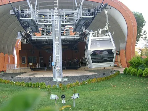 Boz Tepe Mountain, Altınordu10 km E
-
Mercan Tepesi Mountain, Perşembe İlçesi12 km NW
-
Kavranbeli Deresi River, Ordu8.2 km SW
Sources & licences
Data last updated: