- Elevation
- 1,349 m
- above sea level
- Local time
- UTC+03:00
- Europe/Istanbul · UTC+03:00
- Airports
- OGU Ordu–Giresun Airport53 km
- VAS Sivas Nuri Demirağ Airport111 km
About Yeşilce Bucağı
Yeşilce Bucağı is a municipality. Location: Ordu, Turkey. Elevation: 1,349 m. The best months to visit are July–September. The nearest airport is Ordu–Giresun Airport (53 km). Nearby sights include Orta Tepe and Kabak Tepesi.
Climate of Yeşilce Bucağı
Best months for sightseeingBest months for sightseeing: July–September.
This month · November
A cold month
Day 10° · Night 0° · Rain 65 mm
Better nearby cities in November
- Suruç · 400 km south20°
- Hottest month
- August (day 23°)
- Coldest month
- January (night -6°)
- Wettest month
- May (79 mm)
- Driest month
- August (22 mm)
Bars: average monthly low and high temperature. Below: precipitation. Monthly averages for 1970–2000 at about 18 km resolution, adjusted for elevation. Highlighted months are mild and relatively dry. Source: WorldClim 2.1 (CC BY 4.0).
Show values as a table
| Month | Jan | Feb | Mar | Apr | May | Jun | Jul | Aug | Sep | Oct | Nov | Dec |
|---|---|---|---|---|---|---|---|---|---|---|---|---|
| Average high (°C) | 2° | 3° | 6° | 13° | 17° | 20° | 23° | 23° | 21° | 16° | 10° | 4° |
| Average low (°C) | -6° | -5° | -2° | 2° | 6° | 8° | 11° | 11° | 8° | 4° | 0° | -4° |
| Precipitation (mm) | 56 | 50 | 58 | 78 | 79 | 60 | 24 | 22 | 37 | 59 | 65 | 67 |
How to get to Yeşilce Bucağı
The nearest airport is Ordu–Giresun Airport (OGU), 53 km to the northeast as the crow flies. The nearest large city is Ordu, 49 km to the north.
Airports
- Ordu–Giresun Airport (OGU) Ordu 53 kmnortheast
- Sivas Nuri Demirağ Airport (VAS) Sivas 111 kmsouthwest
- Tokat Airport (TJK) Tokat 122 kmwest
Nearby large cities
- Ordu Population: 229.2K 49 kmnorth
- Giresun Population: 125.7K 65 kmnortheast
- Tokat Province Population: 129.7K 109 kmwest
- Sivas Population: 264K 111 kmsouthwest
- Turhal Population: 110.9K 147 kmwest
Straight-line distances; road distances are longer. Airport data: OurAirports.
Day trips from Yeşilce Bucağı
Within 100 km: 12 historic and cultural sites, 200 natural sites, 194 lakes, rivers and coasts.
0–25 km22 places
- Seyit Tepesi Mountain 22 kmNE
- Kara Tepe Mountain 18 kmN
- Kabak Tepesi Mountain 5 kmN
- İğdir Dağı Mountain 20 kmS
25–60 km145 places
- Büyük Göl Lake 34 kmSW
- Zünnav Gölü Lake 46 kmW
- Yürücek Tepe Mountain 37 kmE
- Yoruzkaya Tepe Mountain 47 kmN
60–100 km239 places
- Giresun Adası Island 69 kmNE
- Kuru Göl Lake 90 kmS
- Tötürge Gölü Lake 75 kmS
- Büyük Göl Lake 83 kmSW
Straight-line distances.
Nearby attractions & nature
Everything nearby-
Orta Tepe Mountain, Mesudiye İlçesi4.6 km NW
-
Kabak Tepesi Mountain, Mesudiye İlçesi4.8 km N
-
Giresun Dağları Mountain, Ordu17 km E
-
Meşe Irmağı River, Ordu10 km SW
-
Armutkolu Çayı River, Ordu12 km E
-
Ordunos Deresi River, Ordu11 km SW
-
Şeyh Deresi River, Mesudiye İlçesi10 km N
-
Şeyh Deresi River, Ordu14 km N
Other cities and towns in Ordu
-
Mesudiye City, Mesudiye İlçesi9.8 km S
-
Topçam Bucağı Municipality, Ordu9.4 km N
-
Mesudiye Bucağı Municipality, Ordu9.8 km S
-
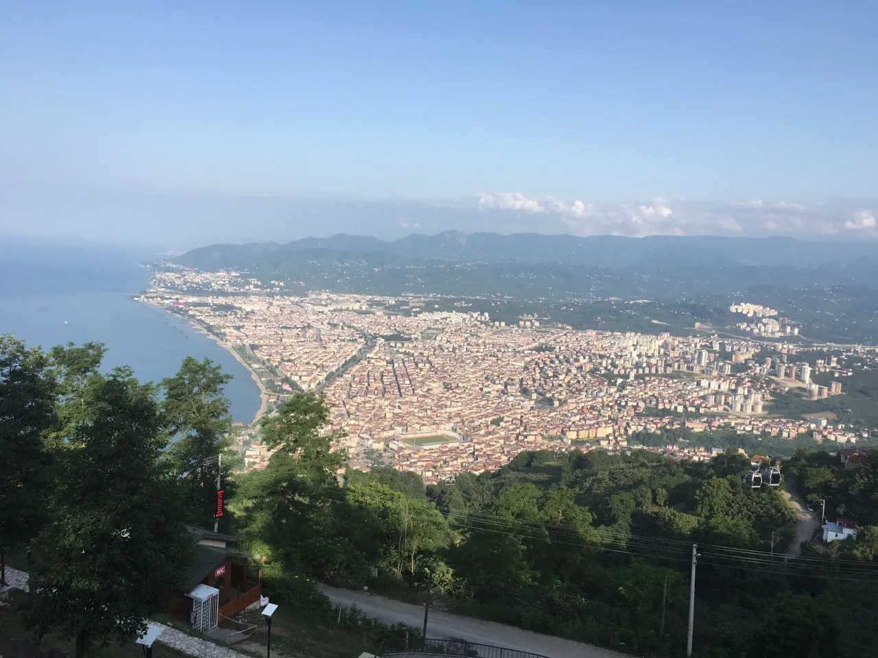 Ordu City, Altınordu49 km N
-
Kabataş City, Kabataş İlçesi38 km NW
-
Çatalpınar City, Çatalpınar İlçesi48 km NW
Sources & licences
Data last updated: