- Elevation
- 2,563 m
- above sea level
- Local time
- UTC+03:00
- Europe/Istanbul · UTC+03:00
- Airports
- IGD Iğdır Airport85 km
- AJI Ağrı Airport94 km
About Kurt Tepesi
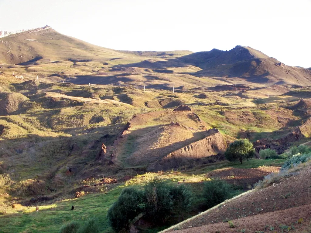
Kurt Tepesi is a mountain. Location: Çaldıran İlçesi, Van Province. Elevation: 2,563 m. The best months to visit are July–September. The nearest airport is Iğdır Airport (85 km). Nearby sights include Aytepe and Kazlıgöl.
Climate of Kurt Tepesi
Best months for sightseeingBest months for sightseeing: July–September.
This month · November
A cold month
Day 4° · Night -5° · Rain 41 mm
Better nearby cities in November
- Silopi · 255 km southwest20°
- Cizre · 260 km southwest20°
- Kızıltepe · 371 km southwest19°
- Hottest month
- August (day 24°)
- Coldest month
- January (night -15°)
- Wettest month
- May (72 mm)
- Driest month
- September (18 mm)
Bars: average monthly low and high temperature. Below: precipitation. Monthly averages for 1970–2000 at about 18 km resolution, adjusted for elevation. Highlighted months are mild and relatively dry. Source: WorldClim 2.1 (CC BY 4.0).
Show values as a table
| Month | Jan | Feb | Mar | Apr | May | Jun | Jul | Aug | Sep | Oct | Nov | Dec |
|---|---|---|---|---|---|---|---|---|---|---|---|---|
| Average high (°C) | -6° | -5° | -1° | 7° | 13° | 18° | 24° | 24° | 20° | 12° | 4° | -3° |
| Average low (°C) | -15° | -14° | -9° | -3° | 1° | 5° | 9° | 9° | 5° | -1° | -5° | -11° |
| Precipitation (mm) | 31 | 36 | 42 | 64 | 72 | 46 | 23 | 19 | 18 | 53 | 41 | 36 |
How to get to Kurt Tepesi
The nearest airport is Iğdır Airport (IGD), 85 km to the north as the crow flies. The nearest large city is Iğdır, 79 km to the north.
Airports
- Iğdır Airport (IGD) Iğdır 85 kmnorth
- Ağrı Airport (AJI) Ağrı 94 kmnorthwest
- Van Ferit Melen Airport (VAN) Van 99 kmsouthwest
Nearby large cities
- Iğdır Population: 101.7K 79 kmnorth
- Van Population: 525K 94 kmsouthwest
- Ağrı Population: 124.5K 97 kmnorthwest
- Siirt Population: 114K 226 kmsouthwest
- Erzurum Population: 767.8K 243 kmwest
Straight-line distances; road distances are longer. Airport data: OurAirports.
Day trips from Kurt Tepesi
Within 100 km: 10 historic and cultural sites, 230 natural sites, 176 lakes, rivers and coasts.
0–25 km28 places
- Kazlıgöl Lake 5 kmNE
- Aytepe Mountain 6 kmNE
- Küçük Tendürük Tepesi Mountain 17 kmN
- Köse Dağı Mountain 14 kmSW
25–60 km137 places
- Süphan Gölü Lake 29 kmS
- Saz Gölü Lake 52 kmN
- Hasantimur Gölü Lake 50 kmSE
- Gölyüzü Gölü Lake 46 kmN
60–100 km251 places
- Yaylagöz Pınar Natural site 77 kmS
- Lim Island Island 65 kmSW
- Turna Gölü Lake 88 kmS
- Lake Arin Lake 95 kmSW
Straight-line distances.
Nearest towns and villages
-
Çaldıran City, Çaldıran İlçesi8.8 km SW
-
Yukarı Mutlu Village, Çaldıran İlçesi3.2 km S
-
Yekekümbet Village, Çaldıran İlçesi3.3 km W
-
Soğuksu Village, Çaldıran İlçesi8.1 km NE
-
Aşağımutlu Village, Çaldıran İlçesi4.1 km S
-
Kılavuz Village, Çaldıran İlçesi4.4 km SW
Nearby attractions & nature
Everything nearby-
Aytepe Mountain, Çaldıran İlçesi6 km NE
-
Kazlıgöl Lake, Iğdır Province4.8 km NE
-
Aşıkıran Tepe Mountain, Çaldıran İlçesi6.4 km SE
-
Yanıktaş Deresi River, Van Province5.8 km S
-
Abdalağa Deresi River, Van Province6.7 km SW
-
Yağlı Dere River, Van Province7 km S
-
Ziyaret Tepesi Mountain, Çaldıran İlçesi11 km S
-
 Tendürek Dağı Mountain, Doğubayazıt District18 km NW
Sources & licences
Data last updated: