Brasov
Local name: Brașov
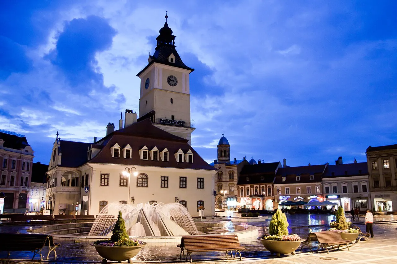
Located in Municipiul Braşov, Brașov County Coordinates: 45°38′55″ N 25°36′22″ E
- Population
- 253,200
- 253.2K
- Elevation
- 573 m
- above sea level
- Local time
- UTC+02:00
- Europe/Bucharest · UTC+02:00
- Airports
- GHV Brașov-Ghimbav International Airport9 km
- SBZ Sibiu International Airport119 km
About Brasov
Brasov is a city. Location: Municipiul Braşov, Brașov County. Population: 253,200. Elevation: 573 m. The best months to visit are June–September. The nearest airport is Brașov-Ghimbav International Airport (9 km). Nearby sights include Ciocheanu and Cristianul Mare.
Climate of Brasov
Best months for sightseeingBest months for sightseeing: June–September.
This month · November
A cold month
Day 7° · Night -1° · Rain 33 mm
- Hottest month
- July (day 23°)
- Coldest month
- January (night -6°)
- Wettest month
- June (97 mm)
- Driest month
- February (28 mm)
Bars: average monthly low and high temperature. Below: precipitation. Monthly averages for 1970–2000 at about 18 km resolution, adjusted for elevation. Highlighted months are mild and relatively dry. Source: WorldClim 2.1 (CC BY 4.0).
Show values as a table
| Month | Jan | Feb | Mar | Apr | May | Jun | Jul | Aug | Sep | Oct | Nov | Dec |
|---|---|---|---|---|---|---|---|---|---|---|---|---|
| Average high (°C) | 2° | 3° | 7° | 13° | 18° | 21° | 23° | 23° | 19° | 14° | 7° | 3° |
| Average low (°C) | -6° | -6° | -2° | 3° | 8° | 11° | 13° | 12° | 8° | 3° | -1° | -5° |
| Precipitation (mm) | 29 | 28 | 32 | 53 | 78 | 97 | 94 | 77 | 48 | 36 | 33 | 31 |
Other places to visit in this season: June July August September
How to get to Brasov
The nearest airport is Brașov-Ghimbav International Airport (GHV), 9 km to the northwest as the crow flies. The nearest large city is Ploieşti, 84 km to the southeast.
Airports
- Brașov-Ghimbav International Airport (GHV) Brașov (Ghimbav) 9 kmnorthwest
- Sibiu International Airport (SBZ) Sibiu 119 kmwest
- Bucharest Henri Coandă International Airport (OTP) Otopeni 126 kmsouth
Nearby large cities
- Ploieşti Population: 180.5K 84 kmsoutheast
- Piteşti Population: 141.3K 106 kmsouthwest
- Buzău Population: 103.5K 111 kmsoutheast
- Sibiu Population: 134.3K 115 kmwest
- Târgu Mureş Population: 212.8K 128 kmnorthwest
Straight-line distances; road distances are longer. Airport data: OurAirports.
Day trips from Brasov
Within 100 km: 1 historic or cultural site, 706 natural sites, 1 lake, river or coast.
0–25 km64 places
- Masiv Postăvarul Mountain 8 kmSW
- Piatra Mare Mountain 11 kmS
- Cristianul Mare Mountain 10 kmSW
- Magura Codlei Mountain 17 kmNW
25–60 km435 places
- Coltii Blajeni Mountain 54 kmSW
- Dobolii de Sus Mountain 38 kmE
- Horezu Mountain 28 kmNW
- Bodos Mountain 26 kmN
60–100 km209 places
- Valea Râmnicului Natural site 83 kmE
- Valea Rea Natural site 65 kmSE
- Valea Purcăreanca Natural site 95 kmSW
- Valea Plavia Natural site 85 kmSE
Straight-line distances.
Brasov and similar cities
Side by side with cities of similar size in the same country: population, elevation and climate.
| Measure | Brasov | Timișoara | Craiova | Cluj-Napoca |
|---|---|---|---|---|
| Population | 253.2K | 250.8K | 234.1K | 286.6K |
| Elevation | 573 m | 96 m | 105 m | 352 m |
| Summer day (hottest month) | 23° | 28° | 29° | 24° |
| Winter night (coldest month) | -6° | -4° | -4° | -6° |
| Annual rainfall | 636 mm | 589 mm | 580 mm | 617 mm |
| Best months | Jun–Sep | May–Jun, Sep | May, Sep | May–Sep |
| Distance | — | 341 km | 205 km | 199 km |
Climate values are 1970–2000 monthly averages; straight-line distance.
Nearby attractions & nature
Everything nearby-
Ciocheanu Mountain, Municipiul Sãcele8.3 km SE
-
Cristianul Mare Mountain, Municipiul Braşov10 km SW
-
Bechia Mountain, Municipiul Sãcele9 km SE
-
Ascutit Mountain, Municipiul Sãcele9.3 km SE
-
Piatra Mare Mountain, Municipiul Braşov11 km S
-
Carbunarea Mountain, Municipiul Sãcele9.4 km SE
-
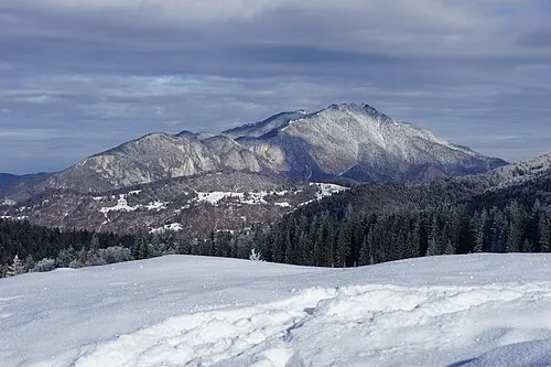 Masiv Postăvarul Mountain, Romania8.5 km SW
-
Bradet Mountain, Municipiul Sãcele9.6 km SE
Sources & licences
Data last updated: · 2 independent sources