Sfantu Gheorghe
Local name: Sfântu Gheorghe
Located in Municipiul Sfântu Gheorghe, Covasna County Coordinates: 45°52′00″ N 25°47′00″ E
- Population
- 50,080
- 50.1K
- Elevation
- 552 m
- above sea level
- Local time
- UTC+02:00
- Europe/Bucharest · UTC+02:00
- Airports
- GHV Brașov-Ghimbav International Airport27 km
- BCM Bacău George Enescu International Airport113 km
About Sfantu Gheorghe
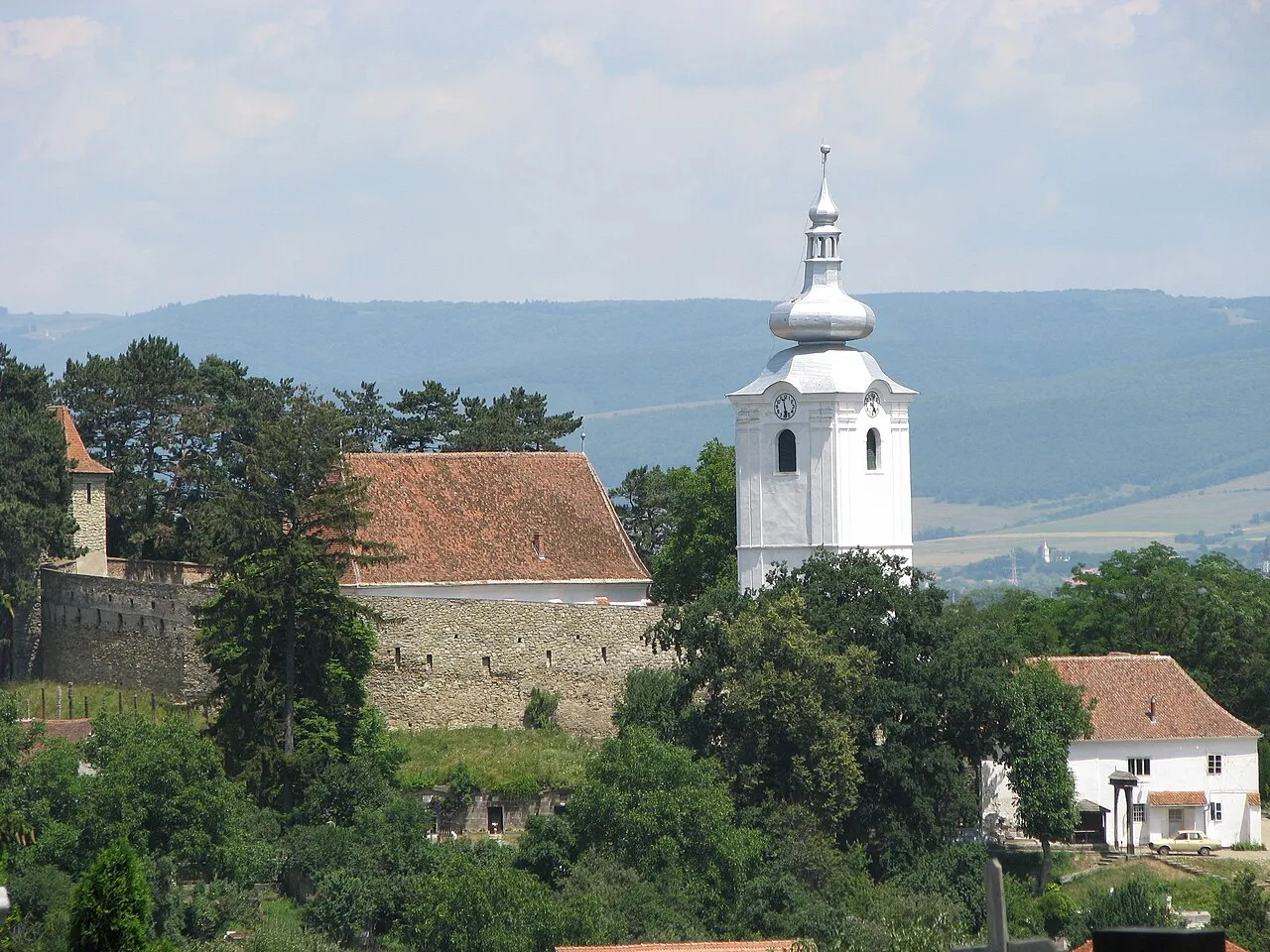
Sfantu Gheorghe is a city. Location: Municipiul Sfântu Gheorghe, Covasna County. Population: 50,080. Elevation: 552 m. The best months to visit are June–September. The nearest airport is Brașov-Ghimbav International Airport (27 km). Nearby sights include Bodos and Pilisca.
At a glance
- Built
- 1332
Source: Wikidata
Climate of Sfantu Gheorghe
Best months for sightseeingBest months for sightseeing: June–September.
This month · November
A cold month
Day 7° · Night -3° · Rain 28 mm
- Hottest month
- July (day 23°)
- Coldest month
- January (night -8°)
- Wettest month
- June (90 mm)
- Driest month
- February (24 mm)
Bars: average monthly low and high temperature. Below: precipitation. Monthly averages for 1970–2000 at about 18 km resolution, adjusted for elevation. Highlighted months are mild and relatively dry. Source: WorldClim 2.1 (CC BY 4.0).
Show values as a table
| Month | Jan | Feb | Mar | Apr | May | Jun | Jul | Aug | Sep | Oct | Nov | Dec |
|---|---|---|---|---|---|---|---|---|---|---|---|---|
| Average high (°C) | 1° | 2° | 7° | 13° | 18° | 22° | 23° | 23° | 19° | 14° | 7° | 1° |
| Average low (°C) | -8° | -8° | -3° | 2° | 7° | 10° | 12° | 11° | 7° | 2° | -3° | -7° |
| Precipitation (mm) | 25 | 24 | 28 | 49 | 72 | 90 | 87 | 70 | 45 | 35 | 28 | 30 |
Other places to visit in this season: June July August September
How to get to Sfantu Gheorghe
The nearest airport is Brașov-Ghimbav International Airport (GHV), 27 km to the southwest as the crow flies. The nearest large city is Brasov, 28 km to the southwest.
Airports
- Brașov-Ghimbav International Airport (GHV) Brașov (Ghimbav) 27 kmsouthwest
- Bacău George Enescu International Airport (BCM) Bacău 113 kmnortheast
- Târgu Mureş Transilvania International Airport (TGM) Recea 125 kmnorthwest
Nearby large cities
- Brasov Population: 253.2K 28 kmsouthwest
- Ploieşti Population: 180.5K 104 kmsouth
- Buzău Population: 103.5K 114 kmsoutheast
- Bacau Population: 136.1K 117 kmnortheast
- Târgu Mureş Population: 212.8K 121 kmnorthwest
Straight-line distances; road distances are longer. Airport data: OurAirports.
Day trips from Sfantu Gheorghe
Within 100 km: 641 natural sites, 1 lake, river or coast.
0–25 km56 places
- Dobolii de Sus Mountain 25 kmSE
- Bodos Mountain 6 kmW
- Cetatii Mountain 19 kmSW
- Pilisca Mountain 20 kmSE
25–60 km246 places
- Masiv Postăvarul Mountain 36 kmSW
- Horezu Mountain 29 kmW
- Baiul Mic Mountain 54 kmS
- Steiasa Mica Mountain 56 kmS
60–100 km340 places
- Coltii Blajeni Mountain 81 kmSW
- Valea Râmnicului Natural site 76 kmSE
- Valea Rea Natural site 70 kmSE
- Valea Plavia Natural site 100 kmS
Straight-line distances.
Sfantu Gheorghe and similar cities
Side by side with cities of similar size in the same country: population, elevation and climate.
| Measure | Sfantu Gheorghe | Zalău | Mediaş | Giurgiu |
|---|---|---|---|---|
| Population | 50.1K | 52.4K | 53K | 54.6K |
| Elevation | 552 m | 261 m | 301 m | 27 m |
| Summer day (hottest month) | 23° | 26° | 25° | 30° |
| Winter night (coldest month) | -8° | -5° | -7° | -5° |
| Annual rainfall | 583 mm | 672 mm | 603 mm | 566 mm |
| Best months | Jun–Sep | May–Sep | May–Sep | Apr–May, Sep–Oct |
| Distance | — | 257 km | 116 km | 220 km |
Climate values are 1970–2000 monthly averages; straight-line distance.
Nearby attractions & nature
Everything nearby-
Bodos Mountain, Municipiul Sfântu Gheorghe6 km W
-
Pilisca Mountain, Comuna Arcuş5.2 km NW
-
Sica Mountain, Comuna Arcuş5.6 km NW
-
Mosighet Mountain, Comuna Vâlcele6.3 km W
-
Gurgău Mountain, Municipiul Sfântu Gheorghe7.9 km NW
-
Hetea Mountain, Comuna Vâlcele8.4 km SW
-
Pusna Mare Mountain, Comuna Vâlcele8.4 km SW
-
Bavad Mountain, Comuna Belin9.2 km W
Sources & licences
Data last updated: · 2 independent sources