- Population
- 80
- 80
- Elevation
- 543 m
- above sea level
- Local time
- UTC+01:00
- Europe/Bratislava · UTC+01:00
- Airports
- KSC Košice International Airport96 km
- RZE Rzeszów-Jasionka Airport119 km
About Runina
Runina is a village. Location: Snina District, Prešov Region. Population: 80. Elevation: 543 m.
Runina (Hungarian: Juhászlak, Rusyn: Руніна) is a village and municipality in Snina District in the Prešov Region of north-eastern Slovakia. The first written reference of the village dates back to 1569. The municipality lies at an altitude of 550 metres and covers an area of 22.198 km2. According to the 2013 census it had a population of 75 inhabitants. The village situated in the buffer zone of the Poloniny National Park offers easy access to most of the National Park's hiking trails.
Source: Wikipedia · CC BY-SA 4.0
Photos of Runina
-
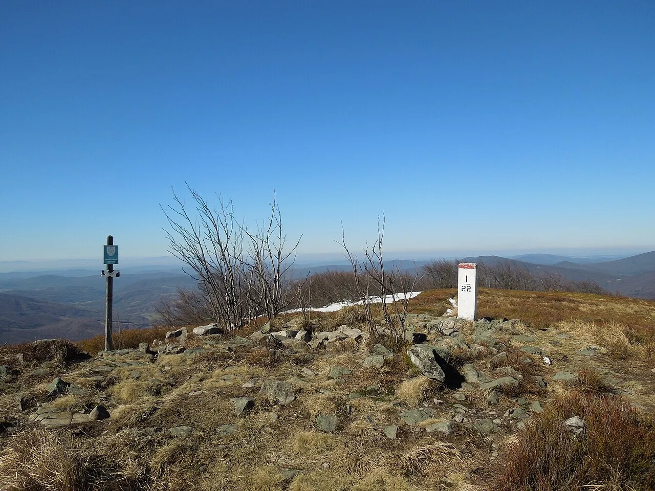
Plaša Milan Bališin · CC BY-SA 4.0 -
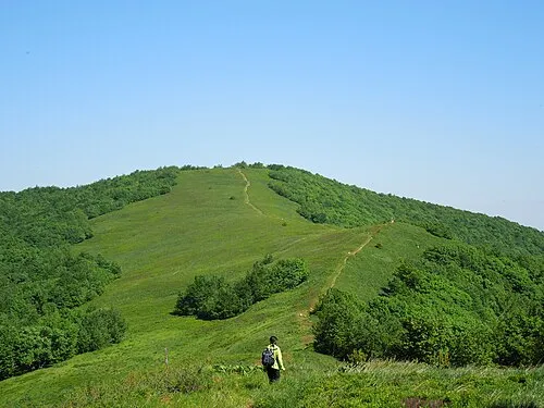
Durkovec Milan Bališin · CC BY-SA 4.0 -
Ptasza - 1162 m npm Bieszczady Milan Bališin · CC BY-SA 4.0 -
Dziurkowiec - 1188 m npm Bieszczady Milan Bališin · CC BY-SA 4.0 -
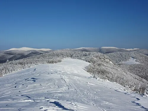
Rabia Skała - 1199 m npm Bieszczady Milan Bališin · CC BY-SA 4.0


Places bordering Runina
- Zboj
- Topoľa
- Stakčín
Population of Runina over time
| 2013 | 75 | |
|---|---|---|
| 2017 | 80 | |
| 2021 | 77 | |
| 2024 | 69 | |
| 2025 | 71 |
Censuses and official estimates; source: Wikidata.
Climate of Runina
Best months for sightseeingBest months for sightseeing: June–August.
This month · November
A cold month
Day 6° · Night 0° · Rain 75 mm
- Hottest month
- July (day 21°)
- Coldest month
- January (night -6°)
- Wettest month
- June (129 mm)
- Driest month
- February (55 mm)
Bars: average monthly low and high temperature. Below: precipitation. Monthly averages for 1970–2000 at about 18 km resolution, adjusted for elevation. Highlighted months are mild and relatively dry. Source: WorldClim 2.1 (CC BY 4.0).
Show values as a table
| Month | Jan | Feb | Mar | Apr | May | Jun | Jul | Aug | Sep | Oct | Nov | Dec |
|---|---|---|---|---|---|---|---|---|---|---|---|---|
| Average high (°C) | 1° | 1° | 6° | 11° | 17° | 19° | 21° | 21° | 16° | 12° | 6° | 1° |
| Average low (°C) | -6° | -5° | -2° | 2° | 7° | 10° | 11° | 11° | 8° | 4° | 0° | -4° |
| Precipitation (mm) | 57 | 55 | 57 | 71 | 95 | 129 | 127 | 100 | 82 | 71 | 75 | 76 |
How to get to Runina
The nearest airport is Košice International Airport (KSC), 96 km to the southwest as the crow flies. For international flights: Rzeszów-Jasionka Airport (RZE) (119 km). The nearest large city is Košice, 93 km to the southwest.
Airports
- Košice International Airport (KSC) Košice 96 kmsouthwest
- Rzeszów-Jasionka Airport (RZE) Jasionka 119 kmnorth
- Satu Mare International Airport (SUJ) Satu Mare 156 kmsouth
Nearby large cities
- Košice Population: 225K 93 kmsouthwest
- Nyíregyháza Population: 117.7K 134 kmsouth
- Satu Mare Population: 112.5K 146 kmsouth
- Miskolc Population: 154.5K 161 kmsouthwest
- Baia Mare Population: 108.8K 179 kmsoutheast
Straight-line distances; road distances are longer. Airport data: OurAirports.
Day trips from Runina
Within 100 km: 13 historic and cultural sites, 140 natural sites, 9 lakes, rivers and coasts.
0–25 km60 places
- Morské Oko Lake 23 kmSW
- Łopienik Mountain 20 kmN
- Ptasza - 1162 m npm Bieszczady Mountain 5 kmN
- Dziurkowiec - 1188 m npm Bieszczady Mountain 4 kmNE
25–60 km42 places
- Zemplínska šírava Lake 42 kmSW
- Veľká Domaša Lake 53 kmW
- Vihorlatské Vrchy Mountain 26 kmSW
- Topľa River 60 kmSW
60–100 km60 places
- Cigelka River 99 kmW
- Kolanin Mountain 87 kmNW
- Slanské Pohorie Mountain 78 kmW
- Čerhov Mountain 91 kmW
Straight-line distances.
Nearby attractions & nature
Everything nearby-
Dziurkowiec - 1188 m npm Bieszczady Mountain, Poland3.6 km NE
-
Rabia Skała - 1199 m npm Bieszczady Mountain, Cisna4.5 km NE
-
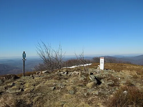 Plaša Mountain, Poland5.2 km N
-
Ptasza - 1162 m npm Bieszczady Mountain, Cisna4.6 km N
-
Durkovec Mountain, Poland5.6 km NE
-
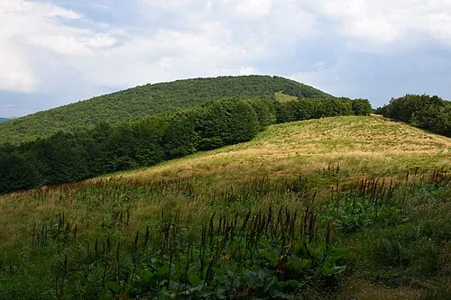 Czoło - 1159 m npm Bieszczady Mountain, Cisna5.8 km NE
Sources & licences
Data last updated: · 2 independent sources