
- Elevation
- 555 m
- above sea level
- Local time
- UTC+01:00
- Europe/Bratislava · UTC+01:00
- Airports
- TAT Poprad-Tatry Airport52 km
- SLD Sliač Airport59 km
About Nádrž Liptovská Mara
Nádrž Liptovská Mara is a lake. Location: Žilina Region, Slovakia. Elevation: 555 m.
Liptovská Mara (Slovak pronunciation: [ˈliptɔwskaː ˈmara]) is a reservoir in northern Slovakia, on the Váh river near Liptovský Mikuláš, in the Liptov region. The dam is named after one of the inundated villages. It was built in 1965–1975. The area of the reservoir is 22 km2, max. depth is 45 m and the capacity is 360 milillion m3. During construction, thirteen villages were inundated and a major railway and road relocated. The main purpose of this dam is to prevent floods, although it also generates electricity.
Source: Wikipedia · CC BY-SA 4.0
Climate of Nádrž Liptovská Mara
Best months for sightseeingBest months for sightseeing: June–August.
This month · November
A cold month
Day 6° · Night -2° · Rain 62 mm
- Hottest month
- August (day 23°)
- Coldest month
- January (night -7°)
- Wettest month
- June (111 mm)
- Driest month
- February (46 mm)
Bars: average monthly low and high temperature. Below: precipitation. Monthly averages for 1970–2000 at about 18 km resolution, adjusted for elevation. Highlighted months are mild and relatively dry. Source: WorldClim 2.1 (CC BY 4.0).
Show values as a table
| Month | Jan | Feb | Mar | Apr | May | Jun | Jul | Aug | Sep | Oct | Nov | Dec |
|---|---|---|---|---|---|---|---|---|---|---|---|---|
| Average high (°C) | 1° | 3° | 7° | 12° | 18° | 21° | 23° | 23° | 18° | 13° | 6° | 2° |
| Average low (°C) | -7° | -6° | -3° | 1° | 6° | 9° | 10° | 10° | 7° | 3° | -2° | -5° |
| Precipitation (mm) | 48 | 46 | 48 | 60 | 94 | 111 | 111 | 97 | 76 | 58 | 62 | 55 |
How to get to Nádrž Liptovská Mara
The nearest airport is Poprad-Tatry Airport (TAT), 52 km to the east as the crow flies. For international flights: Kraków John Paul II International Airport (KRK) (110 km). The nearest large city is Košice, 134 km to the east.
Airports
- Poprad-Tatry Airport (TAT) Poprad 52 kmeast
- Sliač Airport (SLD) Sliač 59 kmsouthwest
- Kraków John Paul II International Airport (KRK) Balice 110 kmnorth
Nearby large cities
- Košice Population: 225K 134 kmeast
- Miskolc Population: 154.5K 144 kmsoutheast
- Nyíregyháza Population: 117.7K 205 kmsoutheast
- Bratislava Population: 423.7K 208 kmsouthwest
- Győr Population: 129.3K 211 kmsouthwest
Straight-line distances; road distances are longer. Airport data: OurAirports.
Day trips from Nádrž Liptovská Mara
Within 100 km: 21 historic and cultural sites, 370 natural sites, 13 lakes, rivers and coasts.
0–25 km17 places
- Bystrá Mountain 25 kmNE
- Baníkov Mountain 17 kmNE
- Orava Castle Historic site 22 kmNW
- Ďumbier Mountain 20 kmSE
25–60 km147 places
- Skalnaté pleso Lake 52 kmE
- Popradské Pleso Lake 40 kmE
- Ostrá Mountain 36 kmE
- Vysoká Mountain 42 kmE
60–100 km240 places
- Korňa River 75 kmNW
- Beskids Mountain 63 kmNE
- Strážov Mountain 80 kmW
- Gírová Mountain 72 kmNW
Straight-line distances.
Nearest towns and villages
-
 Liptovský Trnovec Village, Okres Liptovský Mikuláš2.5 km NE
-
 Galovany Village, Okres Liptovský Mikuláš2.9 km S
-
 Vlachy Village, Okres Liptovský Mikuláš4.1 km W
-
 Liptovský Mikuláš Town, Liptovský Mikuláš6.8 km E
-
 Gôtovany Village, Okres Liptovský Mikuláš4.9 km SW
-
 Liptovská Sielnica Village, Okres Liptovský Mikuláš5 km N
Nearby attractions & nature
Everything nearby-
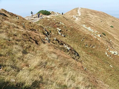 Rakoń Mountain, Kościelisko21 km NE
-
 Łopata Mountain, Lesser Poland Voivodeship21 km NE
-
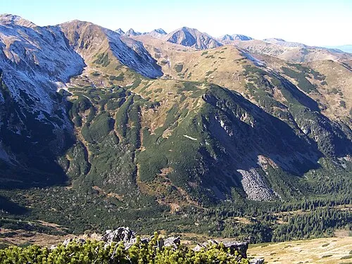 Kończysta Mountain, Kościelisko23 km NE
-
 Klin Mountain, Lesser Poland Voivodeship24 km NE
-
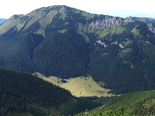 Bobrowiec Mountain, Kościelisko25 km NE
-
 Volovec Mountain, Poland21 km NE
-
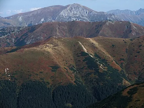 Trzydniowiański Wierch Mountain, Kościelisko24 km NE
-
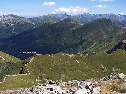 Siwy Zwornik Mountain, Kościelisko24 km NE
More lakes, rivers and coasts in Slovakia


Sources & licences
Data last updated: · 2 independent sources