Liptovský Mikuláš
Located in Liptovský Mikuláš, Okres Liptovský Mikuláš Coordinates: 49°04′50″ N 19°37′20″ E

- Population
- 30,162
- 30.2K
- Elevation
- 577 m
- above sea level
- Local time
- UTC+01:00
- Europe/Bratislava · UTC+01:00
- Airports
- TAT Poprad-Tatry Airport45 km
- SLD Sliač Airport61 km
About Liptovský Mikuláš
Liptovský Mikuláš is a town. Location: Liptovský Mikuláš, Okres Liptovský Mikuláš. Population: 30,162. Elevation: 577 m.
Liptovský Mikuláš (Slovak pronunciation: [ˈliptɔwskiː ˈmikulaːʂ] ; until 1952 Liptovský Svätý Mikuláš, German: Liptau-Sankt-Nikolaus; Hungarian: Liptószentmiklós) is a town in northern Slovakia, on the Váh River, about 285 kilometers (177 mi) from Bratislava. It lies in the Liptov region, in Liptov Basin near the Low Tatra and Tatra Mountains. The town, known as Liptovský Svätý Mikuláš (or Liptovský Saint Nicholas) before communist times, is also renowned as a town of guilds and culture.
Source: Wikipedia · CC BY-SA 4.0
Photos of Liptovský Mikuláš
-

Nádrž Liptovská Mara Александр Сигачёв · Public domain

Travel notes for Liptovský Mikuláš
From Wikivoyage
Liptovský Mikuláš is a town of 31,000 people (2018) in Central Slovakia, and centre of the historical Liptov region. The town is one of the most famous tourist centres in Slovakia because of its rich cultural life. It is a perfect starting point for accessing the Low Tatras (Demänová valley) with well-known caves such as the Demänová Ice Cave or Demänová Cave of Freedom, or the Western Tatras. The town is close to the biggest ski resort in Slovakia, Jasná, which has become a popular ski centre for many western tourists.
Understand+
Liptovský Mikuláš (pronunciation (help·info); until 1952 Liptovský Svätý Mikuláš, German: Liptau-Sankt-Nikolaus; Hungarian: Liptószentmiklós) is a town in northern Slovakia, on the Váh River. It lies in the Liptov region, in Liptov Basin near the Low Tatras and Tatra Mountains. Known as Liptovský Svätý Mikuláš (or Liptovský Saint Nicholas) before communist times, the town is also renowned for its guilds and culture.
From the second half of the 10th century until 1918, it was part of the Kingdom of Hungary. The town of Mikuláš (Liptószentmiklós) was first mentioned in the royal deed of King Ladislaus IV in 1286. The first written record mentioning the Church of Saint Nicolaus, which was to become the founding element of a larger settlement, dates back to 1299. The Church of Saint Nicolaus is the oldest building in town.
Mikuláš was one of the most important centres of crafts in the Liptov region. The craftsmen formed guilds. The oldest guild was the shoemaker's guild, first mentioned in 1508. There were also other guilds, of smiths, furriers, tailors, hatters and butchers.
In 1677, Liptovský Mikuláš (Liptószentmiklós) became the seat of the local district, and of Liptó county. The legendary Slovak "Robin Hood" Juraj Jánošík was sentenced and executed here in 1713 by being hanged by the ribcage on a hook. In the 19th century, the town became one of the centres of the Slovak national movement.
In the 20th century, many once independent villages were annexed to Liptovský Mikuláš. Thus, what was once the bucolic farmers' hamlet of Vrbicá is now simply a street in the middle of the town.
Folk architecture can also be seen nearby in Vlkolínec near Ružomberok, or Pribylina, a few kilometres east of the town, and for recreation the lake called Liptovská Mara is available. Aquapark Tatralandia is nearby.
Get in+
Liptovský Mikuláš is near the main Slovak D1 motorway, and on the main railway from Bratislava to Košice. The closest international airport is in Poprad.
Source: Wikivoyage · CC BY-SA 4.0 · abridged
Places bordering Liptovský Mikuláš
- Bobrovec
- Veterná Poruba
- Beňadiková
- Závažná Poruba
- Demänovská Dolina
- Svätý Kríž
- Galovany
- Liptovský Trnovec
- Liptovský Ján
Twin towns and sister cities of Liptovský Mikuláš
- Kiskőrös· Hungary
- Kemi· Finland
- Municipality of Slovenske Konjice· Slovenia
- Terchová· Slovakia
- Galanta· Slovakia
- Bačka Palanka· Serbia
Source: Wikidata. Only places with a page on this site are shown.
Population of Liptovský Mikuláš over time
| 1993 | 32,569 | |
|---|---|---|
| 1999 | 33,844 | |
| 2004 | 33,221 | |
| 2005 | 32,284 | |
| 2006 | 33,108 | |
| 2009 | 32,593 | |
| 2013 | 31,772 | |
| 2017 | 31,345 | |
| 2020 | 30,808 | |
| 2021 | 30,522 | |
| 2024 | 29,860 | |
| 2025 | 29,710 |
Censuses and official estimates; source: Wikidata.
Climate of Liptovský Mikuláš
Best months for sightseeingBest months for sightseeing: June–August.
This month · November
A cold month
Day 6° · Night -2° · Rain 62 mm
- Hottest month
- August (day 22°)
- Coldest month
- January (night -7°)
- Wettest month
- June (111 mm)
- Driest month
- February (46 mm)
Bars: average monthly low and high temperature. Below: precipitation. Monthly averages for 1970–2000 at about 18 km resolution, adjusted for elevation. Highlighted months are mild and relatively dry. Source: WorldClim 2.1 (CC BY 4.0).
Show values as a table
| Month | Jan | Feb | Mar | Apr | May | Jun | Jul | Aug | Sep | Oct | Nov | Dec |
|---|---|---|---|---|---|---|---|---|---|---|---|---|
| Average high (°C) | 1° | 2° | 7° | 12° | 18° | 21° | 22° | 22° | 18° | 13° | 6° | 2° |
| Average low (°C) | -7° | -7° | -3° | 1° | 6° | 9° | 10° | 10° | 6° | 2° | -2° | -5° |
| Precipitation (mm) | 48 | 46 | 48 | 60 | 94 | 111 | 111 | 97 | 76 | 58 | 62 | 55 |
How to get to Liptovský Mikuláš
The nearest airport is Poprad-Tatry Airport (TAT), 45 km to the east as the crow flies. For international flights: Kraków John Paul II International Airport (KRK) (112 km). The nearest large city is Košice, 127 km to the east.
Airports
- Poprad-Tatry Airport (TAT) Poprad 45 kmeast
- Sliač Airport (SLD) Sliač 61 kmsouthwest
- Kraków John Paul II International Airport (KRK) Balice 112 kmnorth
Nearby large cities
- Košice Population: 225K 127 kmeast
- Miskolc Population: 154.5K 138 kmsoutheast
- Nyíregyháza Population: 117.7K 199 kmsoutheast
- Bratislava Population: 423.7K 212 kmsouthwest
- Győr Population: 129.3K 214 kmsouthwest
Straight-line distances; road distances are longer. Airport data: OurAirports.
Day trips from Liptovský Mikuláš
Within 100 km: 18 historic and cultural sites, 354 natural sites, 14 lakes, rivers and coasts.
0–25 km21 places
- Čertovica Mountain 20 kmSE
- Bystrá Mountain 20 kmNE
- Baníkov Mountain 14 kmNE
- Nádrž Liptovská Mara Lake 7 kmW
25–60 km135 places
- Skalnaté pleso Lake 46 kmE
- Popradské Pleso Lake 34 kmE
- Ostrá Mountain 31 kmE
- Vysoká Mountain 36 kmE
60–100 km230 places
- Korňa River 82 kmNW
- Branisko Mountain 95 kmE
- Strážov Mountain 86 kmW
- Gírová Mountain 78 kmNW
Straight-line distances.
Nearby attractions & nature
Everything nearby-
 Belá River, Žilina Region8.2 km SE
-
Nádrž Liptovská Mara Lake, Žilina Region6.8 km W
-
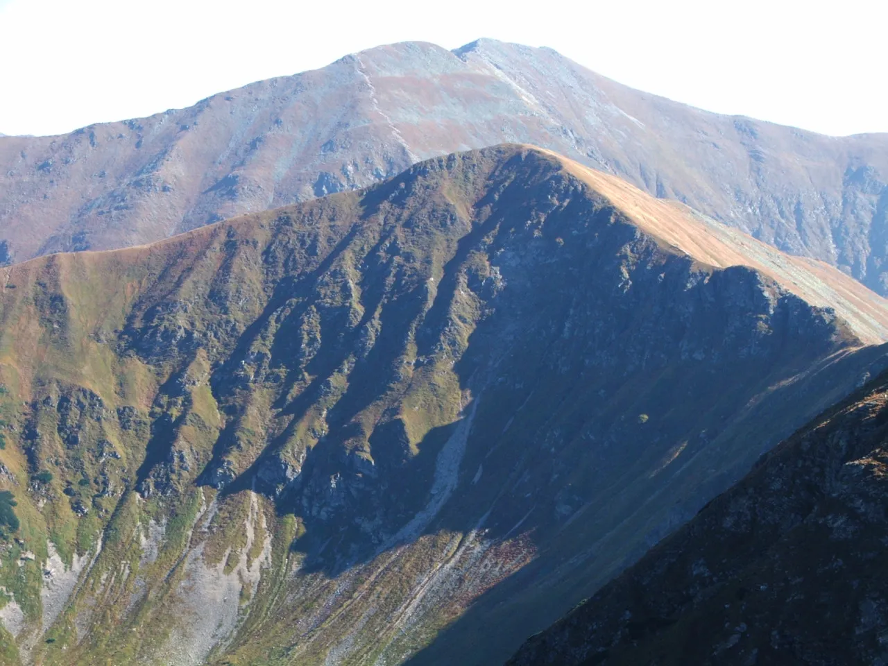 Łopata Mountain, Lesser Poland Voivodeship18 km NE
-
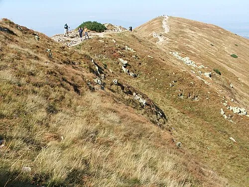 Rakoń Mountain, Kościelisko18 km NE
-
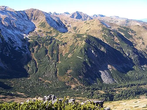 Kończysta Mountain, Kościelisko19 km NE
-
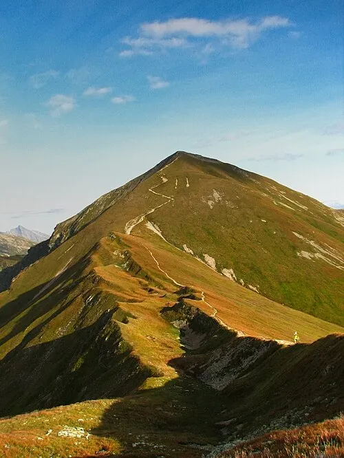 Klin Mountain, Lesser Poland Voivodeship20 km NE
-
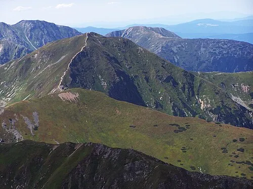 Volovec Mountain, Poland17 km NE
-
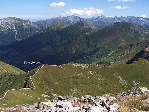 Siwy Zwornik Mountain, Kościelisko20 km NE
Sources & licences
Data last updated: · 2 independent sources