ťapešovo
Local name: Ťapešovo
Located in Námestovo District, Žilina Region Coordinates: 49°22′27″ N 19°26′46″ E

- Population
- 858
- 858
- Elevation
- 669 m
- above sea level
- Local time
- UTC+01:00
- Europe/Bratislava · UTC+01:00
- Airports
- TAT Poprad-Tatry Airport67 km
- KRK Kraków John Paul II International Airport82 km
About ťapešovo
ťapešovo is a village. Location: Námestovo District, Žilina Region. Population: 858. Elevation: 669 m.
Ťapešovo (Hungarian: Tyapessó) is municipality (village) near Námestovo, Žilina Region, Slovakia. It is located on the Biela Orava river. The first written mention of Ťapešovo comes from 1580. In 1588 Ťapešovo was under the rule of the Orava Castle.
Source: Wikipedia · CC BY-SA 4.0
Photos of ťapešovo
-

Andrej Krivulčík · CC BY 3.0 -

Andrej Krivulčík · CC BY 3.0 -

Andrej Krivulčík · CC BY 3.0


Population of ťapešovo over time
| 2017 | 717 | |
|---|---|---|
| 2021 | 776 | |
| 2024 | 848 | |
| 2025 | 858 |
Censuses and official estimates; source: Wikidata.
Climate of ťapešovo
Best months for sightseeingBest months for sightseeing: June–August.
This month · November
A cold month
Day 5° · Night -2° · Rain 71 mm
- Hottest month
- August (day 22°)
- Coldest month
- January (night -8°)
- Wettest month
- July (133 mm)
- Driest month
- March (58 mm)
Bars: average monthly low and high temperature. Below: precipitation. Monthly averages for 1970–2000 at about 18 km resolution, adjusted for elevation. Highlighted months are mild and relatively dry. Source: WorldClim 2.1 (CC BY 4.0).
Show values as a table
| Month | Jan | Feb | Mar | Apr | May | Jun | Jul | Aug | Sep | Oct | Nov | Dec |
|---|---|---|---|---|---|---|---|---|---|---|---|---|
| Average high (°C) | 0° | 2° | 6° | 11° | 17° | 20° | 21° | 22° | 17° | 12° | 5° | 1° |
| Average low (°C) | -8° | -7° | -4° | 0° | 5° | 8° | 9° | 9° | 6° | 2° | -2° | -6° |
| Precipitation (mm) | 66 | 61 | 58 | 66 | 102 | 124 | 133 | 112 | 86 | 67 | 71 | 69 |
How to get to ťapešovo
The nearest airport is Poprad-Tatry Airport (TAT), 67 km to the southeast as the crow flies. For international flights: Kraków John Paul II International Airport (KRK) (82 km). The nearest large city is Košice, 151 km to the southeast.
Airports
- Poprad-Tatry Airport (TAT) Poprad 67 kmsoutheast
- Kraków John Paul II International Airport (KRK) Balice 82 kmnorth
- Sliač Airport (SLD) Sliač 85 kmsouth
Nearby large cities
- Košice Population: 225K 151 kmsoutheast
- Miskolc Population: 154.5K 172 kmsoutheast
- Brno Population: 404.3K 207 kmwest
- Bratislava Population: 423.7K 219 kmsouthwest
- Nyíregyháza Population: 117.7K 230 kmsoutheast
Straight-line distances; road distances are longer. Airport data: OurAirports.
Day trips from ťapešovo
Within 100 km: 46 historic and cultural sites, 391 natural sites, 14 lakes, rivers and coasts.
0–25 km15 places
- Orava Castle Historic site 14 kmSW
- Oravská Magura Mountain 9 kmSW
- Zimna Mountain 21 kmN
- Lipowska Mountain 24 kmNW
25–60 km278 places
- Popradské Pleso Lake 52 kmSE
- Ostrá Mountain 48 kmSE
- Vysoká Mountain 52 kmSE
- Slavkovský štít Mountain 59 kmSE
60–100 km158 places
- Korňa River 60 kmW
- Skalnaté pleso Lake 61 kmE
- Strážov Mountain 86 kmSW
- Poľana Mountain 82 kmS
Straight-line distances.
Nearby attractions & nature
Everything nearby-
 Oravská Magura Mountain, Žilina Region9.1 km SW
-
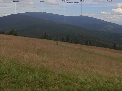 Palenica Mountain, Gmina Jeleśnia22 km NW
-
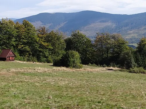
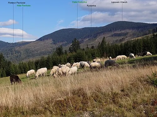 Lipowska Mountain, Węgierska Górka24 km NW
-
 Rysianka Mountain, Węgierska Górka24 km NW
-
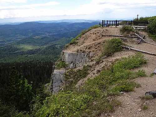 Sokolica Mountain, Lipnica Wielka25 km N
-
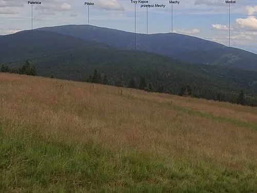 Trzy Kopce Mountain, Poland22 km NW
Other cities and towns in Námestovo District
-
Babín Village, Námestovo District6.8 km SW
-
 Klin Village, Námestovo District7.7 km NE
-
 Hruštín Village, Námestovo District9.1 km SW
-
 Zubrohlava Village, Námestovo District9.2 km NE
-
 Bobrov Village, Námestovo District9.2 km NE
-
 Krušetnica Village, Námestovo District7.8 km W
Sources & licences
Data last updated: · 2 independent sources