- Elevation
- 854 m
- above sea level
- Local time
- UTC+01:00
- Europe/Bratislava · UTC+01:00
- Airports
- TAT Poprad-Tatry Airport68 km
- SLD Sliač Airport76 km
About Oravská Magura
Oravská Magura is a mountain. Location: Žilina Region, Slovakia. Elevation: 854 m.
The Orava Magura (Slovak: Oravská Magura, Hungarian: Árvai-Magura) is a mountain range in the Outer Western Carpathians, which is located in the Žilina Region of northern central Slovakia. The range is part of the Central Beskids, which are themselves part of the Outer Western Carpathians. The Orava Magura is a sandstone massif, densely forested, with primarily spruce and beech, with cultivated birch and hazel.
Source: Wikipedia · CC BY-SA 4.0
Climate of Oravská Magura
Best months for sightseeingBest months for sightseeing: June–August.
This month · November
A cold month
Day 4° · Night -4° · Rain 69 mm
- Hottest month
- August (day 20°)
- Coldest month
- January (night -9°)
- Wettest month
- July (122 mm)
- Driest month
- February (57 mm)
Bars: average monthly low and high temperature. Below: precipitation. Monthly averages for 1970–2000 at about 18 km resolution, adjusted for elevation. Highlighted months are mild and relatively dry. Source: WorldClim 2.1 (CC BY 4.0).
Show values as a table
| Month | Jan | Feb | Mar | Apr | May | Jun | Jul | Aug | Sep | Oct | Nov | Dec |
|---|---|---|---|---|---|---|---|---|---|---|---|---|
| Average high (°C) | -1° | 0° | 5° | 10° | 16° | 19° | 20° | 20° | 16° | 11° | 4° | 0° |
| Average low (°C) | -9° | -8° | -5° | -1° | 4° | 7° | 8° | 7° | 5° | 1° | -4° | -7° |
| Precipitation (mm) | 61 | 57 | 57 | 63 | 97 | 116 | 122 | 104 | 81 | 64 | 69 | 66 |
How to get to Oravská Magura
The nearest airport is Poprad-Tatry Airport (TAT), 68 km to the east as the crow flies. For international flights: Kraków John Paul II International Airport (KRK) (91 km). The nearest large city is Košice, 152 km to the southeast.
Airports
- Poprad-Tatry Airport (TAT) Poprad 68 kmeast
- Sliač Airport (SLD) Sliač 76 kmsouth
- Kraków John Paul II International Airport (KRK) Balice 91 kmnorth
Nearby large cities
- Košice Population: 225K 152 kmsoutheast
- Miskolc Population: 154.5K 168 kmsoutheast
- Brno Population: 404.3K 202 kmwest
- Bratislava Population: 423.7K 211 kmsouthwest
- Győr Population: 129.3K 222 kmsouthwest
Straight-line distances; road distances are longer. Airport data: OurAirports.
Day trips from Oravská Magura
Within 100 km: 42 historic and cultural sites, 390 natural sites, 14 lakes, rivers and coasts.
0–25 km7 places
- Orava Castle Historic site 5 kmS
- Veľký Rozsutec Mountain 22 kmW
- Orava River 24 kmSW
- Rycerzowa Wielka Mountain 25 kmNW
25–60 km253 places
- Korňa River 57 kmW
- Popradské Pleso Lake 53 kmE
- Ostrá Mountain 49 kmE
- Vysoká Mountain 54 kmE
60–100 km186 places
- Skalnaté pleso Lake 63 kmE
- Slavkovský štít Mountain 60 kmE
- Beskids Mountain 64 kmE
- Strážov Mountain 78 kmSW
Straight-line distances.
Nearest towns and villages
-
Babín Village, Námestovo District3 km N
-
Hruštín Village, Námestovo District3.5 km NW
-
Oravský Podzámok Village, Dolný Kubín District5.3 km S
-
Vasiľov Village, Námestovo District5.2 km N
-
Horná Lehota Village, Dolný Kubín District5.7 km S
-
Sedliacka Dubová Village, Dolný Kubín District5.9 km SE
Nearby attractions & nature
Everything nearby-
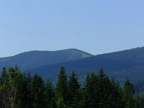 Rycerzowa Wielka Mountain, Gmina Ujsoły25 km NW
-
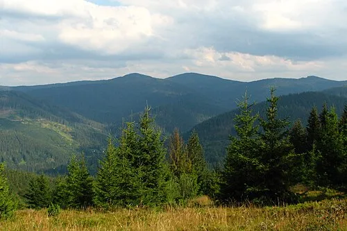 Rycerzowa Mała Mountain, Gmina Ujsoły25 km NW
-
Orava Castle Historic site, Dolný Kubín District5 km S
-
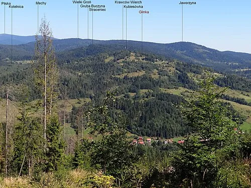 Kubiesowka Mountain, Gmina Ujsoły24 km NW
-
Veľký Rozsutec Mountain, Žilina District22 km W
-
Orava River, Žilina Region24 km SW
-
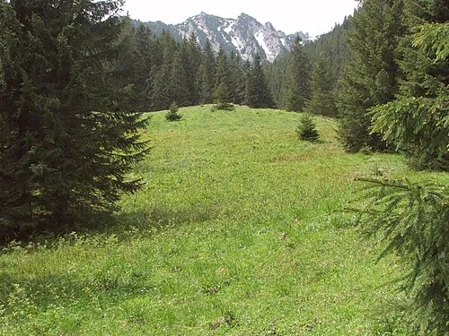 Stara Polana Natural site, Lesser Poland Voivodeship23 km NE
Sources & licences
Data last updated: · 2 independent sources