Pavčina Lehota
Located in Okres Liptovský Mikuláš, Žilina Region Coordinates: 49°01′59″ N 19°33′50″ E

- Population
- 411
- 411
- Elevation
- 708 m
- above sea level
- Local time
- UTC+01:00
- Europe/Bratislava · UTC+01:00
- Airports
- TAT Poprad-Tatry Airport50 km
- SLD Sliač Airport54 km
About Pavčina Lehota
Pavčina Lehota is a village. Location: Okres Liptovský Mikuláš, Žilina Region. Population: 411. Elevation: 708 m.
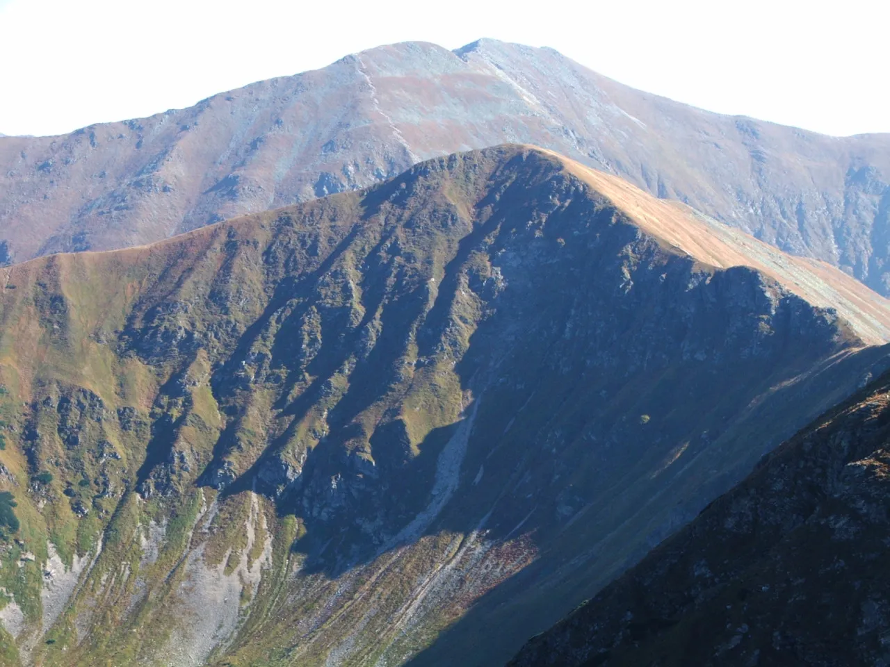
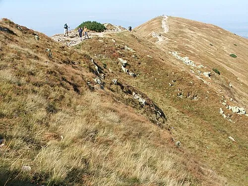
Pavčina Lehota (Hungarian: Paucsinalehota or Pócsszabadja) is a village and municipality in Liptovský Mikuláš District in the Žilina Region of northern Slovakia. The village is known mainly for tourism because of its location among the famous attractions of large caves, aqua parks, ski resorts that surrounds the village.
Source: Wikipedia · CC BY-SA 4.0
Photos of Pavčina Lehota
-

Fry72, Karel Frydrýšek · CC BY-SA 4.0 -

Fry72, Karel Frydrýšek · CC BY-SA 4.0 -

THajko · CC BY-SA 4.0 -

Patrik Kunec · CC BY-SA 4.0 -

Patrik Kunec · CC BY-SA 4.0


Places bordering Pavčina Lehota
- Lazisko
Population of Pavčina Lehota over time
| 2017 | 388 | |
|---|---|---|
| 2021 | 393 | |
| 2024 | 401 | |
| 2025 | 411 |
Censuses and official estimates; source: Wikidata.
Climate of Pavčina Lehota
Best months for sightseeingBest months for sightseeing: June–August.
This month · November
A cold month
Day 5° · Night -3° · Rain 62 mm
- Hottest month
- August (day 22°)
- Coldest month
- January (night -8°)
- Wettest month
- June (111 mm)
- Driest month
- February (46 mm)
Bars: average monthly low and high temperature. Below: precipitation. Monthly averages for 1970–2000 at about 18 km resolution, adjusted for elevation. Highlighted months are mild and relatively dry. Source: WorldClim 2.1 (CC BY 4.0).
Show values as a table
| Month | Jan | Feb | Mar | Apr | May | Jun | Jul | Aug | Sep | Oct | Nov | Dec |
|---|---|---|---|---|---|---|---|---|---|---|---|---|
| Average high (°C) | 0° | 2° | 6° | 11° | 17° | 20° | 22° | 22° | 17° | 12° | 5° | 1° |
| Average low (°C) | -8° | -7° | -4° | 0° | 5° | 8° | 9° | 9° | 6° | 2° | -3° | -6° |
| Precipitation (mm) | 48 | 46 | 48 | 60 | 94 | 111 | 111 | 97 | 76 | 58 | 62 | 55 |
How to get to Pavčina Lehota
The nearest airport is Poprad-Tatry Airport (TAT), 50 km to the east as the crow flies. For international flights: Kraków John Paul II International Airport (KRK) (117 km). The nearest large city is Košice, 129 km to the east.
Airports
- Poprad-Tatry Airport (TAT) Poprad 50 kmeast
- Sliač Airport (SLD) Sliač 54 kmsouthwest
- Kraków John Paul II International Airport (KRK) Balice 117 kmnorth
Nearby large cities
- Košice Population: 225K 129 kmeast
- Miskolc Population: 154.5K 137 kmsoutheast
- Nyíregyháza Population: 117.7K 199 kmsoutheast
- Bratislava Population: 423.7K 206 kmsouthwest
- Győr Population: 129.3K 207 kmsouthwest
Straight-line distances; road distances are longer. Airport data: OurAirports.
Day trips from Pavčina Lehota
Within 100 km: 18 historic and cultural sites, 352 natural sites, 15 lakes, rivers and coasts.
0–25 km10 places
- Čertovica Mountain 18 kmSE
- Baníkov Mountain 21 kmNE
- Nádrž Liptovská Mara Lake 8 kmN
- Ďumbier Mountain 12 kmSE
25–60 km126 places
- Skalnaté pleso Lake 52 kmE
- Popradské Pleso Lake 40 kmE
- Ostrá Mountain 36 kmNE
- Vysoká Mountain 42 kmE
60–100 km249 places
- Korňa River 81 kmNW
- Branisko Mountain 99 kmE
- Beskids Mountain 66 kmNE
- Strážov Mountain 81 kmW
Straight-line distances.
Nearby attractions & nature
Everything nearby


Other cities and towns in Okres Liptovský Mikuláš
-
 ľubeľa Village, Okres Liptovský Mikuláš6.5 km W
-
 Demänovská Dolina Village, Okres Liptovský Mikuláš7.1 km S
-
Závažná Poruba Village, Okres Liptovský Mikuláš6.6 km E
-
 Liptovské Kľačany Village, Okres Liptovský Mikuláš6.5 km W
-
 Liptovský Ján Village, Okres Liptovský Mikuláš8.6 km E
-
 Partizánska ľupča Village, Okres Liptovský Mikuláš10 km W
Sources & licences
Data last updated: · 2 independent sources