Gaberje
Located in Municipality of Ajdovščina, Slovenia Coordinates: 45°50′21″ N 13°53′08″ E

- Population
- 166
- 166
- Elevation
- 189 m
- above sea level
- Local time
- UTC+01:00
- Europe/Ljubljana · UTC+01:00
- Airports
- TRS Trieste Airport33 km
- LJU Ljubljana Jože Pučnik Airport62 km
About Gaberje
Gaberje is a village. Location: Municipality of Ajdovščina, Slovenia. Population: 166. Elevation: 189 m.
Gaberje (pronounced [ˈɡaːbɛɾjɛ]) is a village in the hills south of the Vipava Valley in the Municipality of Ajdovščina in the Littoral region of Slovenia. It was first mentioned in written documents dating to 1367.
Source: Wikipedia · CC BY-SA 4.0
At a glance
- Heritage designation
- registered immobile cultural heritage of Slovenia
- Area
- 4.6 km²
Source: Wikidata
Climate of Gaberje
Best months for sightseeingBest months for sightseeing: June–September.
This month · November
A wet month
Day 11° · Night 5° · Rain 239 mm
- Hottest month
- August (day 26°)
- Coldest month
- January (night 0°)
- Wettest month
- November (239 mm)
- Driest month
- February (114 mm)
Bars: average monthly low and high temperature. Below: precipitation. Monthly averages for 1970–2000 at about 18 km resolution, adjusted for elevation. Highlighted months are mild and relatively dry. Source: WorldClim 2.1 (CC BY 4.0).
Show values as a table
| Month | Jan | Feb | Mar | Apr | May | Jun | Jul | Aug | Sep | Oct | Nov | Dec |
|---|---|---|---|---|---|---|---|---|---|---|---|---|
| Average high (°C) | 6° | 8° | 10° | 14° | 19° | 23° | 26° | 26° | 22° | 17° | 11° | 7° |
| Average low (°C) | 0° | 0° | 2° | 6° | 10° | 14° | 16° | 17° | 13° | 10° | 5° | 1° |
| Precipitation (mm) | 146 | 114 | 144 | 179 | 165 | 184 | 132 | 141 | 183 | 215 | 239 | 199 |
Other places to visit in this season: June July August September
How to get to Gaberje
The nearest airport is Trieste Airport (TRS), 33 km to the west as the crow flies. The nearest large city is Ljubljana, 54 km to the northeast.
Airports
- Trieste Airport (TRS) Ronchi dei Legionari/Trieste 33 kmwest
- Ljubljana Jože Pučnik Airport (LJU) Zgornji Brnik 62 kmnortheast
- Rijeka Airport (RJK) Rijeka(Omišalj) 88 kmsoutheast
Nearby large cities
- Ljubljana Population: 272.2K 54 kmnortheast
- Rijeka Population: 108K 72 kmsoutheast
- Klagenfurt Population: 100.3K 93 kmnorth
- Zagreb Population: 663.6K 163 kmeast
- Graz Population: 303.3K 181 kmnortheast
Straight-line distances; road distances are longer. Airport data: OurAirports.
Day trips from Gaberje
Within 100 km: 80 historic and cultural sites, 453 natural sites, 130 lakes, rivers and coasts.
0–25 km38 places
- Raša River 3 kmS
- Hrušica Mountain 23 kmE
- The Roman fortress Castra Historic site 6 kmN
- Solkan Bridge Landmark 24 kmNW
25–60 km77 places
- Lake Bohinj Lake 50 kmN
- Markovec Mountain 36 kmSW
- Veliki Snežnik Mountain 53 kmSE
- Šmarna gora Mountain 55 kmNE
60–100 km548 places
- Uvala Stipanja Natural site 98 kmSE
- Lake Bled Lake 61 kmN
- Triglav Mountain 60 kmN
- Rjavina Mountain 61 kmN
Straight-line distances.
Nearby attractions & nature
Everything nearby-
Raša River, Slovenia2.7 km S
-
The Roman fortress Castra Historic site, Municipality of Ajdovščina5.8 km N
-
 Museo Revoltella Museum, Trieste23 km SW
-
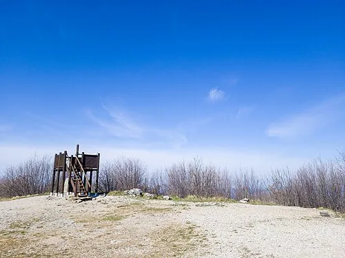 Monte Lanaro Mountain, Sgonico-Zgonik13 km SW
-
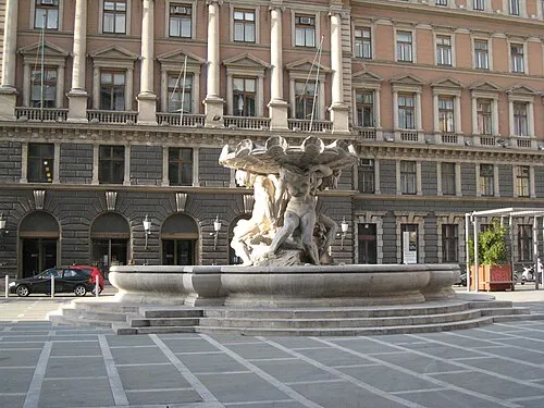 Postal and Telegraphic Museum of Central Europe Museum, Trieste22 km SW
-
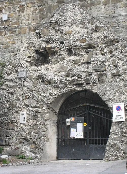 Kleines Berlin Museum, Trieste22 km S
Other cities and towns in Municipality of Ajdovščina
-
 Plače Village, Municipality of Ajdovščina4.3 km N
-
 Velike Žablje Village, Municipality of Ajdovščina4.1 km NW
-
 Cesta Village, Municipality of Ajdovščina5.6 km N
-
Vipavski Križ Village, Municipality of Ajdovščina5.1 km N
-
 Dobravlje Village, Municipality of Ajdovščina5.9 km NW
-
 Lokavec Village, Municipality of Ajdovščina7 km N
Sources & licences
Data last updated: · 2 independent sources