- Population
- 13,255
- 13.3K
- Elevation
- 551 m
- above sea level
- Local time
- UTC+01:00
- Europe/Ljubljana · UTC+01:00
- Airports
- KLU Klagenfurt Airport31 km
- LJU Ljubljana Jože Pučnik Airport38 km
About Jesenice
Jesenice is a city. Location: Municipality of Jesenice, Slovenia. Population: 13,255. Elevation: 551 m.
Jesenice (Slovene: [jɛsɛˈnìːtsɛ] , German: Aßling) is the tenth-largest town in Slovenia, located in the traditional province of Upper Carniola. It is the seat of the Municipality of Jesenice spanning the southern side of the Karawanks, along Slovenia's border with Austria to the north. Renowned as a mining town, its ironworks and metallurgy industries being the driving force of the town's historical development.
Source: Wikipedia · CC BY-SA 4.0
At a glance
- Heritage designation
- registered immobile cultural heritage of Slovenia
- Area
- 8.5 km²
- Official website
- jesenice.si
Source: Wikidata
Photos of Jesenice
-
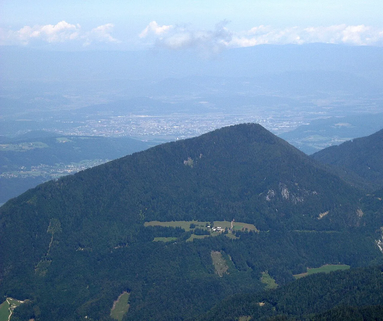
Sinacher Gupf Jensibua · CC0 -
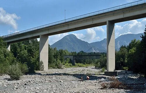
Matschacher Gupf Herzi Pinki · CC BY-SA 4.0 -
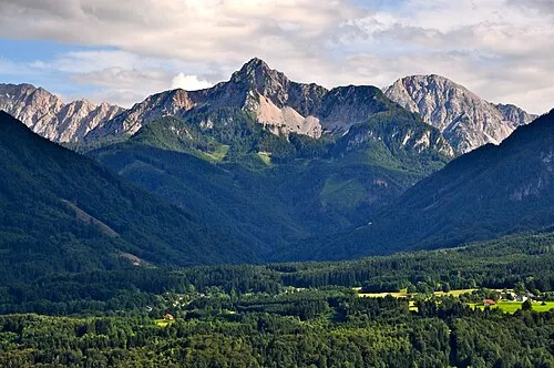
Kosiak Johann Jaritz · CC BY-SA 4.0 -
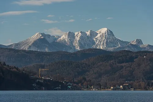
Vis Kurjek Johann Jaritz · CC BY-SA 4.0 -
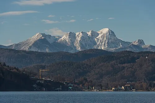
Bärenkogel Johann Jaritz · CC BY-SA 4.0


Travel notes for Jesenice
From Wikivoyage
Jesenice is in the Julian Alps, northwestern Slovenia.
Get in+
By car:
Motorway A2 between the Austrian border and Ljubljana passes next to the city. Jesenice is the first city on the Slovenian side after the Karawanks Tunnel.
By train:
Jesenice is also on the railway between Villach and Ljubljana. It is the first railway stop on the Slovenian side.
Source: Wikivoyage · CC BY-SA 4.0 · abridged
Population of Jesenice over time
| 2010 | 13,427 | |
|---|---|---|
| 2013 | 13,255 | |
| 2014 | 13,217 | |
| 2015 | 13,031 | |
| 2016 | 12,923 | |
| 2017 | 12,928 | |
| 2018 | 12,926 | |
| 2019 | 13,081 | |
| 2020 | 13,338 | |
| 2021 | 13,503 | |
| 2022 | 13,611 | |
| 2023 | 13,702 |
Censuses and official estimates; source: Wikidata.
Climate of Jesenice
Best months for sightseeingBest months for sightseeing: June–September.
This month · November
A wet month
Day 8° · Night 1° · Rain 188 mm
- Hottest month
- July (day 24°)
- Coldest month
- January (night -5°)
- Wettest month
- November (188 mm)
- Driest month
- February (85 mm)
Bars: average monthly low and high temperature. Below: precipitation. Monthly averages for 1970–2000 at about 18 km resolution, adjusted for elevation. Highlighted months are mild and relatively dry. Source: WorldClim 2.1 (CC BY 4.0).
Show values as a table
| Month | Jan | Feb | Mar | Apr | May | Jun | Jul | Aug | Sep | Oct | Nov | Dec |
|---|---|---|---|---|---|---|---|---|---|---|---|---|
| Average high (°C) | 3° | 5° | 8° | 12° | 17° | 21° | 24° | 24° | 20° | 14° | 8° | 4° |
| Average low (°C) | -5° | -4° | -1° | 3° | 7° | 11° | 12° | 12° | 9° | 5° | 1° | -3° |
| Precipitation (mm) | 99 | 85 | 120 | 154 | 154 | 181 | 162 | 148 | 171 | 186 | 188 | 131 |
Other places to visit in this season: June July August September
How to get to Jesenice
The nearest airport is Klagenfurt Airport (KLU), 31 km to the northeast as the crow flies. The nearest large city is Klagenfurt, 28 km to the northeast.
Airports
- Klagenfurt Airport (KLU) Klagenfurt am Wörthersee 31 kmnortheast
- Ljubljana Jože Pučnik Airport (LJU) Zgornji Brnik 38 kmsoutheast
- Trieste Airport (TRS) Ronchi dei Legionari/Trieste 81 kmsouthwest
Nearby large cities
- Klagenfurt Population: 100.3K 28 kmnortheast
- Ljubljana Population: 272.2K 54 kmsoutheast
- Rijeka Population: 108K 126 kmsouth
- Graz Population: 303.3K 127 kmnortheast
- Zagreb Population: 663.6K 163 kmsoutheast
Straight-line distances; road distances are longer. Airport data: OurAirports.
Day trips from Jesenice
Within 100 km: 161 historic and cultural sites, 1,302 natural sites, 417 lakes, rivers and coasts.
0–25 km166 places
- Lake Bohinj Lake 22 kmSW
- Lake Bled Lake 8 kmS
- Triglav Mountain 18 kmW
- Rjavina Mountain 15 kmW
25–60 km559 places
- Šmarna gora Mountain 46 kmSE
- Prestreljenik Mountain 46 kmW
- Porezen Mountain 29 kmS
- Mrzla Gora Mountain 41 kmE
60–100 km1,155 places
- Raša River 70 kmS
- Ribnica Lake Lake 93 kmE
- Veliki Snežnik Mountain 100 kmS
- Hrušica Mountain 65 kmS
Straight-line distances.
Nearby attractions & nature
Everything nearby-
Vintgar Mountain, Municipality of Bled4.6 km SE
-
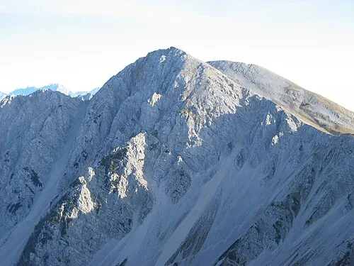 Hochstuhl Mountain, Municipality of Žirovnica8.7 km E
-
Matschacher Gupf Mountain, Feistritz im Rosental7.9 km NE
-
Kotschna Mountain, Austria6.2 km N
-
Grintoutz Mountain, Feistritz im Rosental7.4 km NE
-
Bärentaler Kotschna Mountain, Carinthia6.5 km NE
-
Bärengraben Natural site, Carinthia7.4 km N
-
Hahnkogel Mountain, Sankt Jakob im Rosental6.6 km NW
Sources & licences
Data last updated: · 2 independent sources