Spodnja Dobrava
Located in Municipality of Radovljica, Slovenia Coordinates: 46°18′00″ N 14°14′00″ E

- Population
- 47
- 47
- Elevation
- 481 m
- above sea level
- Local time
- UTC+01:00
- Europe/Ljubljana · UTC+01:00
- Airports
- LJU Ljubljana Jože Pučnik Airport19 km
- KLU Klagenfurt Airport39 km
About Spodnja Dobrava
Spodnja Dobrava is a village. Location: Municipality of Radovljica, Slovenia. Population: 47. Elevation: 481 m.
Spodnja Dobrava (pronounced [ˈspoːdnja dɔˈbɾaːʋa]) is a village in the Municipality of Radovljica in the Upper Carniola region of Slovenia. It has a population of 50.
Source: Wikipedia · CC BY-SA 4.0
Photos of Spodnja Dobrava
-

Jelovica Sl-Ziga · Public domain -

Tržiška Bistrica Smihael · CC BY-SA 3.0 -

Sava Bohinjka No machine-readable author provided. Žiga assumed · Public domain


Climate of Spodnja Dobrava
Best months for sightseeingBest months for sightseeing: June–September.
This month · November
A wet month
Day 7° · Night 0° · Rain 186 mm
- Hottest month
- July (day 24°)
- Coldest month
- January (night -5°)
- Wettest month
- November (186 mm)
- Driest month
- February (84 mm)
Bars: average monthly low and high temperature. Below: precipitation. Monthly averages for 1970–2000 at about 18 km resolution, adjusted for elevation. Highlighted months are mild and relatively dry. Source: WorldClim 2.1 (CC BY 4.0).
Show values as a table
| Month | Jan | Feb | Mar | Apr | May | Jun | Jul | Aug | Sep | Oct | Nov | Dec |
|---|---|---|---|---|---|---|---|---|---|---|---|---|
| Average high (°C) | 2° | 5° | 9° | 13° | 18° | 22° | 24° | 24° | 20° | 14° | 7° | 3° |
| Average low (°C) | -5° | -4° | -1° | 3° | 7° | 11° | 12° | 12° | 9° | 5° | 0° | -4° |
| Precipitation (mm) | 98 | 84 | 117 | 141 | 140 | 172 | 150 | 138 | 156 | 177 | 186 | 132 |
Other places to visit in this season: June July August September
How to get to Spodnja Dobrava
The nearest airport is Ljubljana Jože Pučnik Airport (LJU), 19 km to the southeast as the crow flies. The nearest large city is Ljubljana, 35 km to the southeast.
Airports
- Ljubljana Jože Pučnik Airport (LJU) Zgornji Brnik 19 kmsoutheast
- Klagenfurt Airport (KLU) Klagenfurt am Wörthersee 39 kmnorth
- Trieste Airport (TRS) Ronchi dei Legionari/Trieste 79 kmsouthwest
Nearby large cities
- Ljubljana Population: 272.2K 35 kmsoutheast
- Klagenfurt Population: 100.3K 37 kmnorth
- Rijeka Population: 108K 109 kmsouth
- Graz Population: 303.3K 126 kmnortheast
- Zagreb Population: 663.6K 145 kmeast
Straight-line distances; road distances are longer. Airport data: OurAirports.
Day trips from Spodnja Dobrava
Within 100 km: 144 historic and cultural sites, 903 natural sites, 304 lakes, rivers and coasts.
0–25 km107 places
- Lake Bled Lake 13 kmNW
- Porezen Mountain 24 kmSW
- Jelovica Mountain 8 kmW
- Grintavec Mountain 24 kmE
25–60 km416 places
- Lake Bohinj Lake 29 kmW
- Triglav Mountain 32 kmW
- Šmarna gora Mountain 26 kmSE
- Rjavina Mountain 29 kmW
60–100 km828 places
- Raša River 60 kmSW
- Ribnica Lake Lake 83 kmE
- Markovec Mountain 94 kmSW
- Veliki Snežnik Mountain 82 kmS
Straight-line distances.
Nearby attractions & nature
Everything nearby-
Tržiška Bistrica River, Slovenia3.2 km SE
-
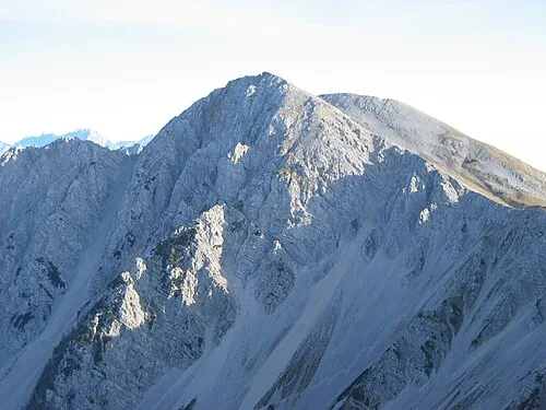 Hochstuhl Mountain, Municipality of Žirovnica15 km N
-
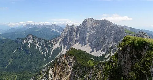 Wertatscha Mountain, Austria16 km N
-
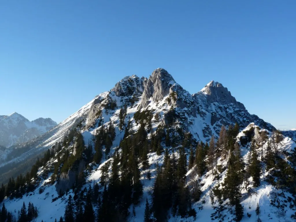 Selenitza Mountain, Austria13 km N
-
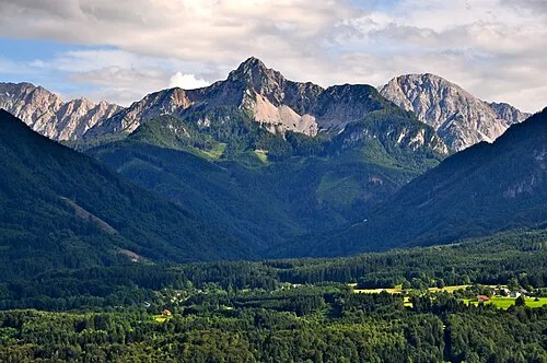 Kosiak Mountain, Feistritz im Rosental17 km N
-
Jelovica Mountain, Municipality of Radovljica7.7 km W
Other cities and towns in Municipality of Radovljica
-
 Kamna Gorica Village, Municipality of Radovljica3.2 km NW
-
 Poljšica pri Podnartu Village, Municipality of Radovljica2.3 km SE
-
 Mišače Village, Municipality of Radovljica2.3 km NW
-
 Brezje Village, Municipality of Radovljica3.2 km N
-
 Zgornja Dobrava Village, Municipality of Radovljica2.5 km NW
-
 Mošnje Village, Municipality of Radovljica4.2 km NW
Sources & licences
Data last updated: · 2 independent sources