- Elevation
- 419 m
- above sea level
- Local time
- UTC+01:00
- Europe/Ljubljana · UTC+01:00
- Airports
- LJU Ljubljana Jože Pučnik Airport27 km
- KLU Klagenfurt Airport36 km
About Sava Bohinjka
Sava Bohinjka is a river. Location: Slovenia.
The Sava Bohinjka is a headwater of the Sava River in northwestern Slovenia. At 41 kilometres (25 mi) in length, it is the shorter of the two headwaters that become the Sava River in the town of Radovljica, the other being the 45 km (28 mi)-long Sava Dolinka.
Source: Wikipedia · CC BY-SA 4.0
At a glance
- Length
- 32 km
Source: Wikidata
Climate of Sava Bohinjka
Best months for sightseeingBest months for sightseeing: June–September.
This month · November
A wet month
Day 9° · Night 1° · Rain 188 mm
- Hottest month
- July (day 24°)
- Coldest month
- January (night -4°)
- Wettest month
- November (188 mm)
- Driest month
- February (85 mm)
Bars: average monthly low and high temperature. Below: precipitation. Monthly averages for 1970–2000 at about 18 km resolution, adjusted for elevation. Highlighted months are mild and relatively dry. Source: WorldClim 2.1 (CC BY 4.0).
Show values as a table
| Month | Jan | Feb | Mar | Apr | May | Jun | Jul | Aug | Sep | Oct | Nov | Dec |
|---|---|---|---|---|---|---|---|---|---|---|---|---|
| Average high (°C) | 4° | 6° | 9° | 13° | 18° | 22° | 24° | 24° | 20° | 15° | 9° | 4° |
| Average low (°C) | -4° | -3° | 0° | 3° | 8° | 11° | 13° | 13° | 10° | 6° | 1° | -2° |
| Precipitation (mm) | 99 | 85 | 120 | 154 | 154 | 181 | 162 | 148 | 171 | 186 | 188 | 131 |
Other places to visit in this season: June July August September
How to get to Sava Bohinjka
The nearest airport is Ljubljana Jože Pučnik Airport (LJU), 27 km to the southeast as the crow flies. The nearest large city is Klagenfurt, 33 km to the north.
Airports
- Ljubljana Jože Pučnik Airport (LJU) Zgornji Brnik 27 kmsoutheast
- Klagenfurt Airport (KLU) Klagenfurt am Wörthersee 36 kmnortheast
- Trieste Airport (TRS) Ronchi dei Legionari/Trieste 79 kmsouthwest
Nearby large cities
- Klagenfurt Population: 100.3K 33 kmnorth
- Ljubljana Population: 272.2K 42 kmsoutheast
- Rijeka Population: 108K 115 kmsouth
- Graz Population: 303.3K 127 kmnortheast
- Zagreb Population: 663.6K 153 kmeast
Straight-line distances; road distances are longer. Airport data: OurAirports.
Day trips from Sava Bohinjka
Within 100 km: 153 historic and cultural sites, 1,007 natural sites, 325 lakes, rivers and coasts.
0–25 km130 places
- Lake Bohinj Lake 24 kmW
- Lake Bled Lake 5 kmNW
- Triglav Mountain 25 kmW
- Rjavina Mountain 22 kmW
25–60 km456 places
- Šmarna gora Mountain 34 kmSE
- Prestreljenik Mountain 53 kmW
- Mrzla Gora Mountain 33 kmE
- Hrušica Mountain 55 kmS
60–100 km899 places
- Raša River 63 kmS
- Ribnica Lake Lake 87 kmE
- Markovec Mountain 96 kmS
- Veliki Snežnik Mountain 88 kmS
Straight-line distances.
Nearest towns and villages
-
Lesce Village, Municipality of Radovljica1.7 km N
-
Bodešče Village, Municipality of Bled1.1 km W
-
Lancovo Village, Municipality of Radovljica1.5 km SE
-
Brda Village, Municipality of Radovljica1.3 km SW
-
Koritno Village, Municipality of Bled2.2 km NW
-
Vošče Village, Municipality of Radovljica1.5 km S
Nearby attractions & nature
Everything nearby-
Sava Dolinka River, Slovenia0.7 km NW
-
Lake Bled Lake, Municipality of Bled5.1 km NW
-
Jelovica Mountain, Municipality of Radovljica5.4 km S
-
Vintgar Mountain, Municipality of Bled7.5 km NW
-
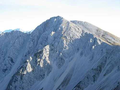 Hochstuhl Mountain, Municipality of Žirovnica9.9 km N
-
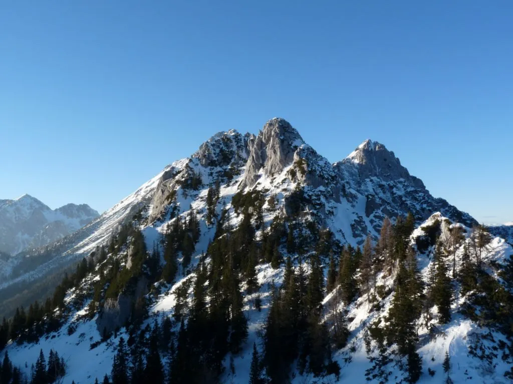 Selenitza Mountain, Austria9.7 km NE
-
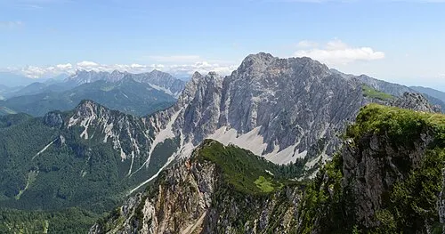 Wertatscha Mountain, Austria11 km N
-
Begunjščica Mountain, Municipality of Radovljica9.8 km NE
Sources & licences
Data last updated: · 2 independent sources