- Elevation
- 920 m
- above sea level
- Local time
- UTC+01:00
- Europe/Ljubljana · UTC+01:00
- Airports
- ZAG Zagreb Franjo Tuđman International Airport57 km
- RJK Rijeka Airport84 km
About Žumberačka Gora
Žumberačka Gora is a mountain. Location: Slovenia. Elevation: 920 m.
The Žumberak Mountains (Croatian: Žumberačka gora, Slovene: Gorjanci, historic German name: Uskokengebirge) is a range of hills and mountains in northwestern Croatia and southeastern Slovenia, extending from the southwest to the northeast between the Krka and the Kupa. It covers an area of 430 km2 (170 sq mi). The geographically unified massif consists of two parts, separated by the Bregana and Žumberak rivers (Croatian: Žumberačka rijeka).
Source: Wikipedia · CC BY-SA 4.0
Climate of Žumberačka Gora
Best months for sightseeingBest months for sightseeing: June–August.
This month · November
A wet month
Day 5° · Night -3° · Rain 120 mm
- Hottest month
- July (day 21°)
- Coldest month
- January (night -7°)
- Wettest month
- June (131 mm)
- Driest month
- January (58 mm)
Bars: average monthly low and high temperature. Below: precipitation. Monthly averages for 1970–2000 at about 18 km resolution, adjusted for elevation. Highlighted months are mild and relatively dry. Source: WorldClim 2.1 (CC BY 4.0).
Show values as a table
| Month | Jan | Feb | Mar | Apr | May | Jun | Jul | Aug | Sep | Oct | Nov | Dec |
|---|---|---|---|---|---|---|---|---|---|---|---|---|
| Average high (°C) | 0° | 2° | 7° | 11° | 16° | 19° | 21° | 21° | 17° | 11° | 5° | 0° |
| Average low (°C) | -7° | -7° | -4° | 0° | 5° | 8° | 10° | 9° | 6° | 2° | -3° | -7° |
| Precipitation (mm) | 58 | 66 | 84 | 97 | 99 | 131 | 112 | 116 | 118 | 121 | 120 | 91 |
How to get to Žumberačka Gora
The nearest airport is Zagreb Franjo Tuđman International Airport (ZAG), 57 km to the east as the crow flies. The nearest large city is Zagreb, 51 km to the east.
Airports
- Zagreb Franjo Tuđman International Airport (ZAG) Velika Gorica 57 kmeast
- Rijeka Airport (RJK) Rijeka(Omišalj) 84 kmsouthwest
- Maribor Edvard Rusjan Airport (MBX) Maribor 86 kmnorth
Nearby large cities
- Zagreb Population: 663.6K 51 kmeast
- Ljubljana Population: 272.2K 72 kmnorthwest
- Rijeka Population: 108K 84 kmsouthwest
- Klagenfurt Population: 100.3K 126 kmnorthwest
- Graz Population: 303.3K 147 kmnorth
Straight-line distances; road distances are longer. Airport data: OurAirports.
Day trips from Žumberačka Gora
Within 100 km: 14 historic and cultural sites, 91 natural sites, 83 lakes, rivers and coasts.
0–25 km4 places
- Trdinov Vrh Mountain 2 kmNW
- Radulja River 20 kmNW
- Lahinja River 14 kmS
- Temenica River 17 kmW
25–60 km39 places
- Mala Gora Mountain 46 kmW
- Krka River 26 kmNE
- Stična River 46 kmNW
- Kum Mountain 43 kmNW
60–100 km145 places
- Krk Island 94 kmSW
- Kašina River 71 kmE
- Uvala Stipanja Natural site 85 kmSW
- Otočić Košljun Island 98 kmSW
Straight-line distances.
Nearest towns and villages
-
Sošice Village, Municipality of Žumberak3.9 km E
-
Cerov Log Village, Municipality of Šentjernej3.9 km N
-
Jugorje Village, Urban Municipality of Novo Mesto4.2 km NW
-
Kunčani Village, Town of Ozalj3.1 km S
-
Krašnji Vrh Village, Municipality of Metlika4.9 km S
-
Gabrje Village, Urban Municipality of Novo Mesto5.8 km NW
Nearby attractions & nature
Everything nearby-
Trdinov Vrh Mountain, Municipality of Šentjernej1.6 km NW
-
Lahinja River, Slovenia14 km S
-
Temenica River, Slovenia17 km W
-
Radulja River, Slovenia20 km NW
More nature in Slovenia
-
Kočevski Rog Mountain, Municipality of Dolenjske Toplice26 km SW
-
Kum Mountain, Municipality of Trbovlje43 km NW
-
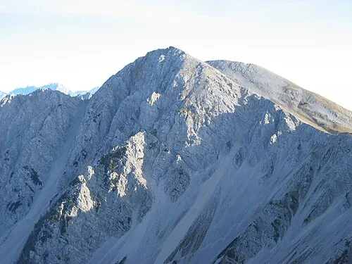 Hochstuhl Mountain, Municipality of Žirovnica117 km NW
-
Karawanken Mountain, Municipality of Tržič103 km NW
-
Snežnik Mountain, Slovenia71 km W
-
Mala Gora Mountain, Municipality of Ribnica46 km W
Sources & licences
Data last updated: · 2 independent sources