- Elevation
- 6 m
- above sea level
- Local time
- UTC+01:00
- Europe/Madrid · UTC+01:00
- Airports
- GIB Gibraltar Airport11 km
- TTU Sania Ramel Airport57 km
About Arroyo de Marchenilla
Arroyo de Marchenilla is a river. Location: Algeciras, Cadiz. The best months to visit are May–June, September–October. The nearest airport is Gibraltar Airport (11 km). Nearby sights include Playa de Getares and Ensenada de Getares.
Photos of Arroyo de Marchenilla
-
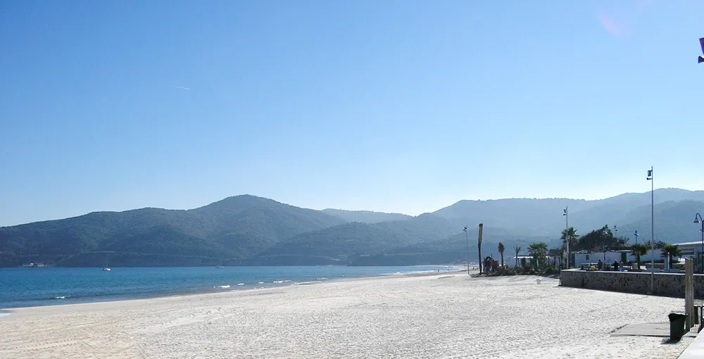
Playa de Getares No machine-readable author provided. Falconaumanni assumed · CC BY-SA 3.0 -
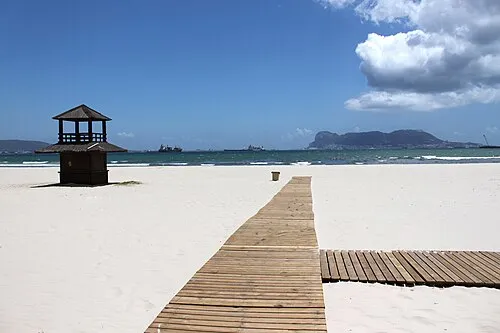
Playa Rinconcillo user:falconaumanni · CC BY 3.0 -
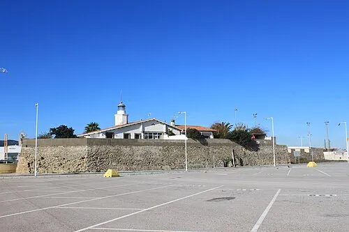
Isla Verde Falconaumanni · CC BY-SA 3.0 -
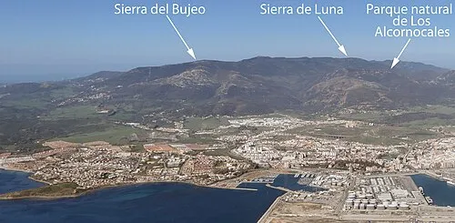
Sierra del Bujeo Adam Cli · CC BY-SA 4.0 -
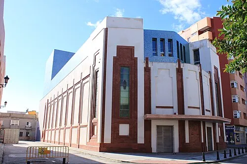
Teatro Florida user:falconaumanni · CC BY 3.0


Climate of Arroyo de Marchenilla
Best months for sightseeingBest months for sightseeing: May–June, September–October.
This month · November
A wet month
Day 19° · Night 13° · Rain 121 mm
Better nearby cities in November
- Málaga · 115 km northeast20°
- Dos Hermanas · 138 km north20°
- Seville · 150 km north20°
- Hottest month
- August (day 29°)
- Coldest month
- January (night 10°)
- Wettest month
- December (146 mm)
- Driest month
- July (1 mm)
Bars: average monthly low and high temperature. Below: precipitation. Monthly averages for 1970–2000 at about 18 km resolution, adjusted for elevation. Highlighted months are mild and relatively dry. Source: WorldClim 2.1 (CC BY 4.0).
Show values as a table
| Month | Jan | Feb | Mar | Apr | May | Jun | Jul | Aug | Sep | Oct | Nov | Dec |
|---|---|---|---|---|---|---|---|---|---|---|---|---|
| Average high (°C) | 16° | 17° | 18° | 20° | 22° | 26° | 28° | 29° | 27° | 23° | 19° | 17° |
| Average low (°C) | 10° | 10° | 11° | 12° | 14° | 17° | 19° | 20° | 19° | 16° | 13° | 11° |
| Precipitation (mm) | 125 | 103 | 95 | 67 | 32 | 10 | 1 | 4 | 17 | 71 | 121 | 146 |
Other places to visit in this season: May June September October
How to get to Arroyo de Marchenilla
The nearest airport is Gibraltar Airport (GIB), 11 km to the northeast as the crow flies. The nearest large city is Algeciras, 4 km to the north.
Airports
- Gibraltar Airport (GIB) Gibraltar 11 kmnortheast
- Sania Ramel Airport (TTU) Tétouan 57 kmsouth
- Tangier Ibn Battuta Airport (TNG) Tangier 59 kmsouthwest
Nearby large cities
- Algeciras Population: 121.4K 4 kmnorth
- Tétouan Population: 415.8K 58 kmsouth
- Marbella Population: 156.3K 69 kmnortheast
- Cadiz Population: 117K 89 kmnorthwest
- Jerez de la Frontera Population: 212.9K 90 kmnorthwest
Straight-line distances; road distances are longer. Airport data: OurAirports.
Day trips from Arroyo de Marchenilla
Within 100 km: 293 historic and cultural sites, 190 natural sites, 317 lakes, rivers and coasts.
0–25 km128 places
- Jbel Moussa Mountain 22 kmS
- Playa de Benítez Beach 25 kmSE
- Playa de Benzú Beach 21 kmS
- Playa de Poniente Beach 12 kmNE
25–60 km222 places
- Playa de Zahora Beach 55 kmW
- Jebel Zem Zem Mountain 48 kmS
- Kasbah Mosque Attraction 47 kmSW
- Grand Mosque of Tangier Attraction 47 kmSW
60–100 km450 places
- Jebel Kelti Mountain 84 kmS
- Playa de la Victoria Beach 87 kmNW
- Playa de Levante Beach 86 kmNW
- Caleta Beach Beach 91 kmNW
Straight-line distances.
Nearest towns and villages
-
Algeciras City, Algeciras3.9 km N
-
La Ballenera Village, Algeciras1.8 km SE
-
Pelayo Village, Algeciras4.7 km W
-
Los Barrios Town, Tarifa10 km N
-
La Línea de la Concepción Town, Línea de la Concepción, La12 km NE
-
Rinconcillo Village, Algeciras6.8 km N
Nearby attractions & nature
Everything nearby-
Playa de Getares Beach, Algeciras0.8 km SE
-
Ensenada de Getares Natural site, Algeciras1.2 km E
-
Río Pícaro River, Algeciras0.1 km N
-
Ensenada del Saladillo Natural site, Barrios, Los2.2 km NE
-
Isla Verde Island, Barrios, Los3.2 km NE
-
Parque de Las Acacias Natural site, Algeciras3 km N
-
Isla Cabrita Island, Algeciras3.4 km SE
-
Teatro Florida Attraction, Algeciras3.3 km N
Sources & licences
Data last updated: