Jerez de la Frontera
Located in Jerez de la Frontera, Cadiz Coordinates: 36°41′11″ N 6°08′10″ W
- Population
- 212,879
- 212.9K
- Elevation
- 53 m
- above sea level
- Local time
- UTC+01:00
- Europe/Madrid · UTC+01:00
- Airports
- XRY Jerez Airport9 km
- SVQ Seville Airport84 km
About Jerez de la Frontera
Jerez de la Frontera is a city. Location: Jerez de la Frontera, Cadiz. Population: 212,879. Elevation: 53 m. The best months to visit are April–June, October. The nearest airport is Jerez Airport (9 km). Nearby sights include Teatro Villamarta and Palacio de Campo Real.
Photos of Jerez de la Frontera
-
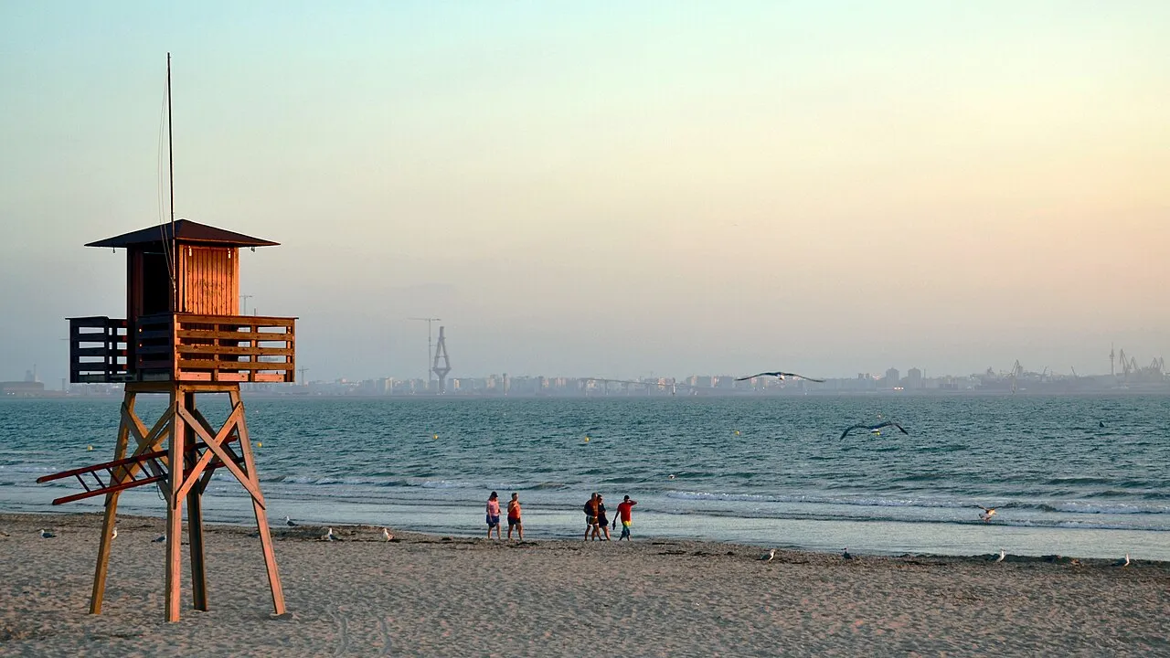
Playa de Valdegrana Emilio J. Rodríguez Posada · CC BY-SA 2.0 -
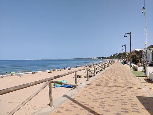
Playa de Santa Catalina El Pantera · CC BY-SA 4.0 -
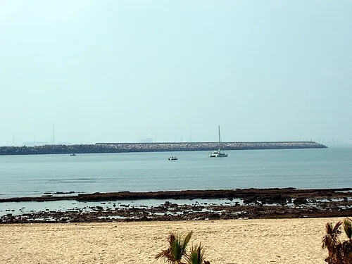
Playa de la Puntilla Emilio J. Rodríguez Posada · CC BY-SA 2.5 es -
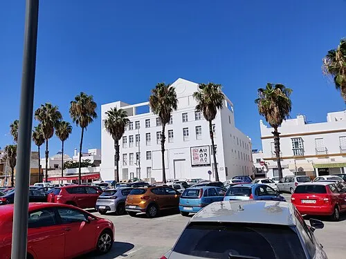
Teatro Principal El Pantera · CC BY-SA 4.0 -
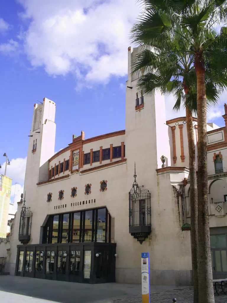
Teatro Villamarta Mao06 · CC BY-SA 3.0


Climate of Jerez de la Frontera
Best months for sightseeingBest months for sightseeing: April–June, October.
This month · November
Outside the best season
Day 20° · Night 10° · Rain 87 mm
Better nearby cities in November
- Dos Hermanas · 69 km north20°
- Seville · 79 km north20°
- Málaga · 153 km east20°
- Hottest month
- July (day 32°)
- Coldest month
- January (night 7°)
- Wettest month
- December (104 mm)
- Driest month
- July (1 mm)
Bars: average monthly low and high temperature. Below: precipitation. Monthly averages for 1970–2000 at about 18 km resolution, adjusted for elevation. Highlighted months are mild and relatively dry. Source: WorldClim 2.1 (CC BY 4.0).
Show values as a table
| Month | Jan | Feb | Mar | Apr | May | Jun | Jul | Aug | Sep | Oct | Nov | Dec |
|---|---|---|---|---|---|---|---|---|---|---|---|---|
| Average high (°C) | 16° | 17° | 19° | 21° | 24° | 28° | 32° | 32° | 29° | 24° | 20° | 17° |
| Average low (°C) | 7° | 8° | 9° | 10° | 13° | 16° | 19° | 19° | 17° | 14° | 10° | 8° |
| Precipitation (mm) | 90 | 61 | 44 | 52 | 36 | 15 | 1 | 4 | 19 | 65 | 87 | 104 |
Other places to visit in this season: April May June October
How to get to Jerez de la Frontera
The nearest airport is Jerez Airport (XRY), 9 km to the northeast as the crow flies. For international flights: Seville Airport (SVQ) (84 km). The nearest large city is Cadiz, 22 km to the southwest.
Airports
- Jerez Airport (XRY) Jerez de la Frontera 9 kmnortheast
- Seville Airport (SVQ) Seville 84 kmnorth
- Gibraltar Airport (GIB) Gibraltar 92 kmsoutheast
Nearby large cities
- Cadiz Population: 117K 22 kmsouthwest
- Dos Hermanas Population: 122.9K 69 kmnorth
- Seville Population: 686.7K 79 kmnorth
- Algeciras Population: 121.4K 87 kmsoutheast
- Huelva Population: 144.3K 96 kmnorthwest
Straight-line distances; road distances are longer. Airport data: OurAirports.
Day trips from Jerez de la Frontera
Within 100 km: 433 historic and cultural sites, 197 natural sites, 421 lakes, rivers and coasts.
0–25 km147 places
- Playa de la Victoria Beach 24 kmSW
- Playa de Levante Beach 17 kmSW
- Caleta Beach Beach 23 kmSW
- Playa del Bajo Beach 24 kmNW
25–60 km235 places
- Playa de Zahora Beach 55 kmS
- Playa de Castilla Beach 57 kmNW
- Playa de las Tres Piedras Beach 27 kmW
- Playa de las Canteras Beach 28 kmW
60–100 km669 places
- Playa de Castilla Beach 83 kmNW
- Playa de Punta Umbría Beach 94 kmNW
- Playa de la Bota Beach 98 kmNW
- Playa de Atlanterra Beach 69 kmSE
Straight-line distances.
Jerez de la Frontera and similar cities
Side by side with cities of similar size in the same country: population, elevation and climate.
| Measure | Jerez de la Frontera | Cartagena | Sabadell | Santa Cruz de Tenerife |
|---|---|---|---|---|
| Population | 212.9K | 213.9K | 211.7K | 211.4K |
| Elevation | 53 m | 1 m | 187 m | 10 m |
| Summer day (hottest month) | 32° | 33° | 29° | 30° |
| Winter night (coldest month) | 7° | 6° | 4° | 14° |
| Annual rainfall | 578 mm | 288 mm | 676 mm | 320 mm |
| Best months | Apr–Jun, Oct | Mar–May, Oct–Nov | Apr–Jul, Sep–Oct | Feb–Jun, Nov–Dec |
| Distance | — | 469 km | 893 km | 1,315 km |
Climate values are 1970–2000 monthly averages; straight-line distance.
Nearby attractions & nature
Everything nearby-
Teatro Villamarta Attraction, Jerez de la Frontera0.4 km S
-
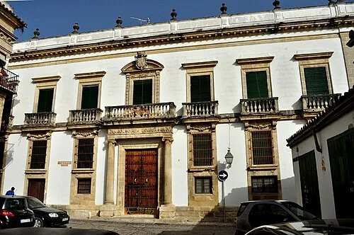 Palacio de Campo Real Historic site, Jerez de la Frontera0.7 km SW
-
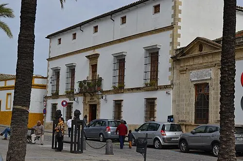 Archaeological Museum of Jerez Museum, Jerez de la Frontera0.8 km W
-
Palacio Domecq Historic site, Jerez de la Frontera0.1 km NW
-
 Estadio Municipal de Chapín Landmark, Jerez de la Frontera1.4 km E
-
Parroquia De San Dionisio Attraction, Jerez de la Frontera0.4 km SW
-
Palacio de la Condesa de Casares Historic site, Jerez de la Frontera0.4 km SW
-
Plaza de Toros de Jerez Attraction, Jerez de la Frontera0.5 km NE
Sources & licences
Data last updated: